115 Cargill Rd Kings Mountain, NC 28086
Estimated Value: $304,000 - $476,000
3
Beds
2
Baths
2,190
Sq Ft
$185/Sq Ft
Est. Value
About This Home
This home is located at 115 Cargill Rd, Kings Mountain, NC 28086 and is currently estimated at $405,348, approximately $185 per square foot. 115 Cargill Rd is a home with nearby schools including Chapel Grove Elementary School, Bessemer City Middle School, and Bessemer City High School.
Ownership History
Date
Name
Owned For
Owner Type
Purchase Details
Closed on
Apr 17, 2009
Sold by
Ledford Vickie W and Ledford Charles T
Bought by
Beam Deana G
Current Estimated Value
Home Financials for this Owner
Home Financials are based on the most recent Mortgage that was taken out on this home.
Original Mortgage
$24,000
Outstanding Balance
$15,366
Interest Rate
5.18%
Mortgage Type
Future Advance Clause Open End Mortgage
Estimated Equity
$389,982
Create a Home Valuation Report for This Property
The Home Valuation Report is an in-depth analysis detailing your home's value as well as a comparison with similar homes in the area
Home Values in the Area
Average Home Value in this Area
Purchase History
| Date | Buyer | Sale Price | Title Company |
|---|---|---|---|
| Beam Deana G | $30,000 | None Available |
Source: Public Records
Mortgage History
| Date | Status | Borrower | Loan Amount |
|---|---|---|---|
| Open | Beam Deana G | $24,000 |
Source: Public Records
Tax History Compared to Growth
Tax History
| Year | Tax Paid | Tax Assessment Tax Assessment Total Assessment is a certain percentage of the fair market value that is determined by local assessors to be the total taxable value of land and additions on the property. | Land | Improvement |
|---|---|---|---|---|
| 2025 | $2,749 | $385,000 | $41,310 | $343,690 |
| 2024 | $2,749 | $385,000 | $41,310 | $343,690 |
| 2023 | $2,676 | $380,480 | $41,310 | $339,170 |
| 2022 | $2,227 | $242,080 | $30,980 | $211,100 |
| 2021 | $2,254 | $242,080 | $30,980 | $211,100 |
| 2019 | $2,230 | $242,080 | $30,980 | $211,100 |
| 2018 | $2,481 | $257,054 | $44,527 | $212,527 |
| 2017 | $2,452 | $257,054 | $44,527 | $212,527 |
| 2016 | $2,660 | $278,779 | $0 | $0 |
| 2014 | $2,141 | $225,410 | $46,237 | $179,173 |
Source: Public Records
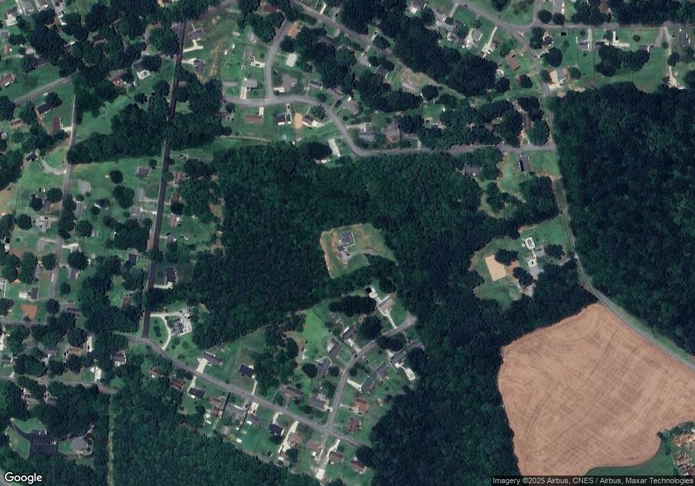
Map
Nearby Homes
- 914 Woodside Dr
- 1000 Linwood Rd
- 702 Rhodes Ave
- 527 Katherine Ave
- 711 Groves St
- 814 Grace St
- 921 Church St
- 110 N Oriental Ave
- 0 Canterbury Rd
- 25 Bennett Dr
- 1001 Church St
- 823 1st St
- 409 Chestnut St
- 408 Walnut St
- 114 Hendricks St
- 808 3rd St
- 2106 Loblolly Ln
- 506 E Ridge St
- 1505 Northwoods Dr
- 810 4th St
- 511 Ellenwood Dr
- 509 Ellenwood Dr
- 507 Ellenwood Dr
- 1004 Brookwood Dr
- 00 Brookwood Dr
- 505 Ellenwood Dr
- 1009 Brookwood Dr
- 1000 Brookwood Dr
- 1011 Brookwood Dr
- 1002 Brookwood Dr
- 503 Ellenwood Dr
- 1013 Brookwood Dr
- 510 Ellenwood Dr
- 1007 Brookwood Dr
- 508 Ellenwood Dr
- 1018 Brookwood Dr
- 506 Ellenwood Dr
- 1015 Brookwood Dr
- 1005 Brookwood Dr
- 504 Ellenwood Dr