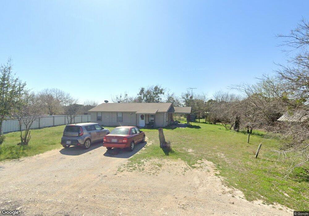
115 Cedar Rd Weatherford, TX 76087
Estimated Value: $182,632 - $353,000
--
Bed
--
Bath
1,150
Sq Ft
$243/Sq Ft
Est. Value
About This Home
This home is located at 115 Cedar Rd, Weatherford, TX 76087 and is currently estimated at $279,408, approximately $242 per square foot. 115 Cedar Rd is a home located in Parker County with nearby schools including Curtis Elementary School, Hall Middle School, and Weatherford High School.
Ownership History
Date
Name
Owned For
Owner Type
Purchase Details
Closed on
Feb 1, 2007
Sold by
Mason Irving C and Mason Martha N
Bought by
Rapkoch & Rapkoch Enterprises Ltd
Current Estimated Value
Purchase Details
Closed on
Oct 11, 1993
Bought by
Rapkoch & Rapkoch Enterpises Ltd
Purchase Details
Closed on
May 24, 1990
Bought by
Rapkoch & Rapkoch Enterpises Ltd
Create a Home Valuation Report for This Property
The Home Valuation Report is an in-depth analysis detailing your home's value as well as a comparison with similar homes in the area
Home Values in the Area
Average Home Value in this Area
Purchase History
| Date | Buyer | Sale Price | Title Company |
|---|---|---|---|
| Rapkoch & Rapkoch Enterprises Ltd | -- | Pcts | |
| Rapkoch & Rapkoch Enterpises Ltd | -- | -- | |
| Rapkoch & Rapkoch Enterpises Ltd | -- | -- |
Source: Public Records
Tax History Compared to Growth
Tax History
| Year | Tax Paid | Tax Assessment Tax Assessment Total Assessment is a certain percentage of the fair market value that is determined by local assessors to be the total taxable value of land and additions on the property. | Land | Improvement |
|---|---|---|---|---|
| 2025 | $2,280 | $150,420 | $50,400 | $100,020 |
| 2024 | $2,280 | $140,590 | $44,100 | $96,490 |
| 2023 | $2,280 | $140,590 | $44,100 | $96,490 |
| 2022 | $1,744 | $93,800 | $31,500 | $62,300 |
| 2021 | $1,889 | $93,800 | $31,500 | $62,300 |
| 2020 | $1,516 | $74,950 | $23,940 | $51,010 |
| 2019 | $1,616 | $74,950 | $23,940 | $51,010 |
| 2018 | $1,384 | $63,640 | $17,640 | $46,000 |
| 2017 | $1,413 | $63,640 | $17,640 | $46,000 |
| 2016 | $1,063 | $47,890 | $12,600 | $35,290 |
| 2015 | $1,042 | $47,890 | $12,600 | $35,290 |
| 2014 | $892 | $42,020 | $12,600 | $29,420 |
Source: Public Records
Map
Nearby Homes
- 191 Wildflower Trail
- 4819 Horseshoe Dr
- 413 Lakeview Trail
- 112 Pioneer Trail
- 4640 Tin Top Rd
- 329 Longhorn Trail
- 246 Comanche Trail
- 190 Mesquite Trail
- 2045 Sunset Ridge Dr
- 147 Western Lake Dr
- 3016 Infinity Dr
- 340 Western Lake Dr
- TBD Western Lake Dr
- 2067 Sunset Ridge Dr
- 2008 Walter Joseph Way
- 1000 Elevation Trail
- 241 Western Lake Dr
- 428 Mesquite Trail
- 4948 Cimmaron Trail
- 0000 Walter Joseph Way