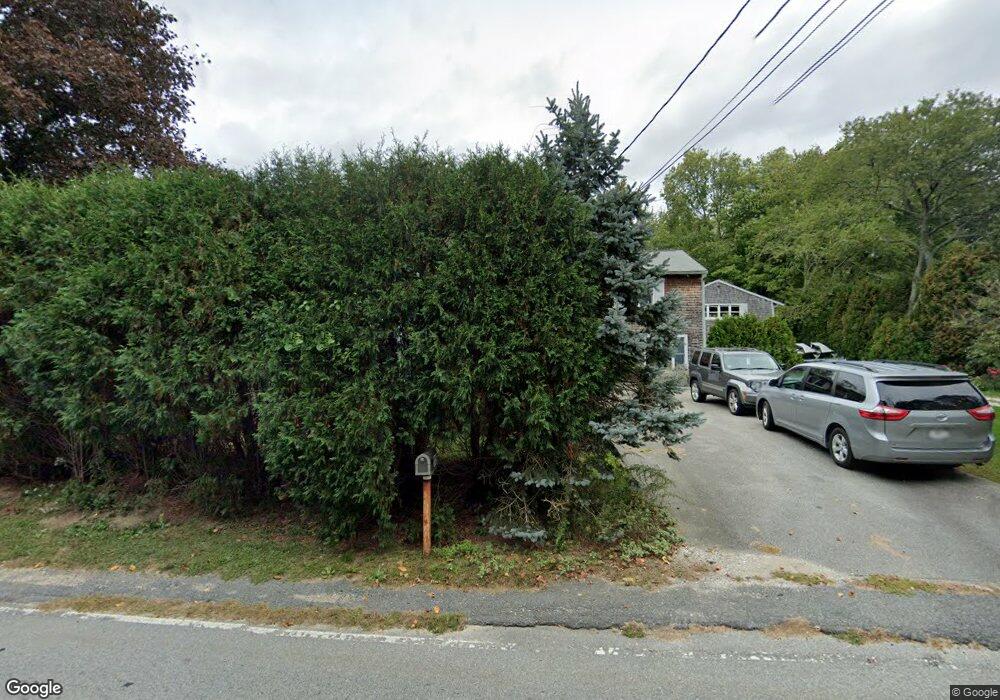
115 Cornell Rd Westport, MA 02790
Westport Point NeighborhoodEstimated Value: $713,787 - $895,000
About This Home
This home is located at 115 Cornell Rd, Westport, MA 02790 and is currently estimated at $790,697, approximately $784 per square foot. 115 Cornell Rd is a home located in Bristol County with nearby schools including Alice A. Macomber Primary School, Westport Elementary School, and Westport Middle-High School.
Ownership History
We collect this data history from publicly available records. To have your information removed, we recommend requesting removal directly through your county’s website.
Purchase Details
Purchase Details
Purchase Details
Home Values in the Area
Average Home Value in this Area
Purchase History
We collect this data history from publicly available records. To have your information removed, we recommend requesting removal directly through your county’s website.
| Date | Buyer | Sale Price | Title Company |
|---|---|---|---|
| $141,000 | -- | ||
| $141,500 | -- | ||
| $106,500 | -- |
Mortgage History
We collect this data history from publicly available records. To have your information removed, we recommend requesting removal directly through your county’s website.
| Date | Status | Borrower | Loan Amount |
|---|---|---|---|
| Closed | $95,000 | ||
| Closed | $100,000 | ||
| Closed | $128,000 | ||
| Previous Owner | $49,900 |
Tax History
We collect this data history from publicly available records. To have your information removed, we recommend requesting removal directly through your county’s website.
| Year | Tax Paid | Tax Assessment Tax Assessment Total Assessment is a certain percentage of the fair market value that is determined by local assessors to be the total taxable value of land and additions on the property. | Land | Improvement |
|---|---|---|---|---|
| 2025 | $4,765 | $639,600 | $281,800 | $357,800 |
| 2024 | $4,628 | $598,700 | $248,000 | $350,700 |
| 2023 | $4,225 | $517,800 | $186,500 | $331,300 |
| 2022 | $4,050 | $477,600 | $186,500 | $291,100 |
| 2021 | $3,957 | $459,000 | $169,500 | $289,500 |
| 2020 | $3,739 | $443,500 | $162,700 | $280,800 |
| 2019 | $3,542 | $428,300 | $157,300 | $271,000 |
| 2018 | $3,589 | $439,300 | $166,900 | $272,400 |
| 2017 | $3,393 | $440,600 | $166,900 | $273,700 |
| 2016 | $3,316 | $419,200 | $166,900 | $252,300 |
| 2015 | $3,026 | $381,600 | $166,900 | $214,700 |
Map
- 1455 Main Rd
- 25 Westport Harbor Rd
- 1 Puddingstone Cir
- 1263 Drift Rd
- 512 River Rd
- 24 David Rd
- 27 Crandall Rd
- 2 Olin Howland Way
- 1680H Drift Rd Unit H
- 245 John Dyer Rd
- 225 Hixbridge Rd
- 1775 Drift Rd
- 1680 Drift Rd Unit L
- 920 Drift Rd
- 1746 Drift Rd
- 26 Old Stone Church Rd
- 19 Seabury Ln
- 129 Cross Rd
- 32 Village Way
- 255 John Dyer Rd
- 105 Cornell Rd
- 121 Cornell Rd
- 95 Cornell Rd
- 73 Cornell Rd
- 10 Perseverance Ln
- 33 Perseverance Ln
- 4 Perseverance Ln
- 67 Cornell Rd
- 70 Cornell Rd
- 24 Perseverance Ln
- 18 Perseverance Ln
- 131 Cornell Rd
- 62 Cornell Rd
- 30 Perseverance Ln
- 65 Cornell Rd
- 34 Perseverance Ln
- 63 Cornell Rd
- 55 Cornell Rd
- 49 Cornell Rd
- 43 Cornell Rd
Ask me questions while you tour the home.