115 Curtis Ct Swedesboro, NJ 08085
Woolwich Township NeighborhoodEstimated Value: $596,000 - $707,000
--
Bed
--
Bath
3,076
Sq Ft
$209/Sq Ft
Est. Value
About This Home
This home is located at 115 Curtis Ct, Swedesboro, NJ 08085 and is currently estimated at $643,696, approximately $209 per square foot. 115 Curtis Ct is a home located in Gloucester County with nearby schools including Margaret C Clifford School, Gen. Charles G. Harker School, and Gov. Charles C. Stratton School.
Ownership History
Date
Name
Owned For
Owner Type
Purchase Details
Closed on
Apr 28, 2004
Sold by
Signature Homes & At The Links Llc
Bought by
Stanley Rodney and Stanley Rodney Lisette
Current Estimated Value
Home Financials for this Owner
Home Financials are based on the most recent Mortgage that was taken out on this home.
Original Mortgage
$320,000
Outstanding Balance
$148,873
Interest Rate
5.39%
Mortgage Type
Purchase Money Mortgage
Estimated Equity
$494,823
Purchase Details
Closed on
Sep 26, 2003
Sold by
Chateau Ridge Llc
Bought by
Signature Homes At The Links Llc
Create a Home Valuation Report for This Property
The Home Valuation Report is an in-depth analysis detailing your home's value as well as a comparison with similar homes in the area
Home Values in the Area
Average Home Value in this Area
Purchase History
| Date | Buyer | Sale Price | Title Company |
|---|---|---|---|
| Stanley Rodney | $368,554 | Surety Title Corporation | |
| Signature Homes At The Links Llc | $99,500 | Surety Title Agency |
Source: Public Records
Mortgage History
| Date | Status | Borrower | Loan Amount |
|---|---|---|---|
| Open | Stanley Rodney | $320,000 |
Source: Public Records
Tax History Compared to Growth
Tax History
| Year | Tax Paid | Tax Assessment Tax Assessment Total Assessment is a certain percentage of the fair market value that is determined by local assessors to be the total taxable value of land and additions on the property. | Land | Improvement |
|---|---|---|---|---|
| 2025 | $12,001 | $357,400 | $67,800 | $289,600 |
| 2024 | $11,791 | $357,400 | $67,800 | $289,600 |
| 2023 | $11,791 | $357,400 | $67,800 | $289,600 |
| 2022 | $12,034 | $357,400 | $67,800 | $289,600 |
| 2021 | $12,280 | $357,400 | $67,800 | $289,600 |
| 2020 | $12,262 | $357,400 | $67,800 | $289,600 |
| 2019 | $12,222 | $325,400 | $75,800 | $249,600 |
| 2018 | $12,173 | $325,400 | $75,800 | $249,600 |
| 2017 | $11,936 | $325,400 | $75,800 | $249,600 |
| 2016 | $11,819 | $325,400 | $75,800 | $249,600 |
| 2015 | $11,548 | $325,400 | $75,800 | $249,600 |
| 2014 | $10,972 | $325,400 | $75,800 | $249,600 |
Source: Public Records
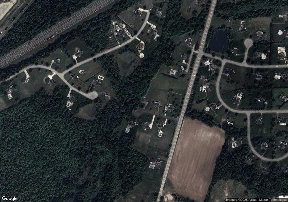
Map
Nearby Homes
- 201 Weston Dr
- 1573 Oldmans Creek Rd
- 81 Wexford Dr S
- Greyson Plan at The Ridings at Woolwich
- Hadley Plan at The Ridings at Woolwich
- Greenbriar Plan at The Ridings at Woolwich
- Chelsea Plan at The Ridings at Woolwich
- Winterberry Plan at The Ridings at Woolwich
- Belmont Plan at The Ridings at Woolwich
- 180 Cambridge Blvd
- 104 Waterford Way
- 613 Sammy St
- 213 Dalton Dr
- 194 Jockey Hollow Run
- 105 Sammy St
- 195 Hunters Run
- 5 Wesley Dr
- 137 Davidson Rd
- 555 Woodstown Rd
- 4 Hylton Rd
- 109 Curtis Ct
- 112 Curtis Ct
- 116 Curtis Ct
- 103 Curtis Ct
- 106 Curtis Ct
- 246 Inverness Dr
- 2299 Kings Hwy
- 242 Inverness Dr
- 333 Nicklaus Ct
- 2293 Kings Hwy
- 109 Nottingham Way
- 2341 Kings Hwy
- 115 Nottingham Way
- 339 Nicklaus Ct
- 332 Nicklaus Ct
- 232 Inverness Dr
- 103 Nottingham Way
- 235 Inverness Dr
- 2287 Kings Hwy
- 106 Nottingham Way