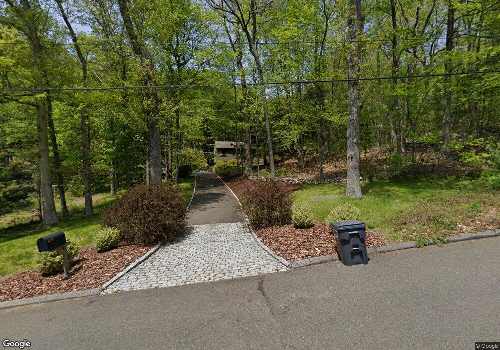
115 Deerfield Dr Easton, CT 06612
Estimated Value: $857,275 - $905,000
4
Beds
3
Baths
2,736
Sq Ft
$320/Sq Ft
Est. Value
About This Home
This home is located at 115 Deerfield Dr, Easton, CT 06612 and is currently estimated at $875,092, approximately $319 per square foot. 115 Deerfield Dr is a home located in Fairfield County with nearby schools including Samuel Staples Elementary School, Helen Keller Middle School, and Joel Barlow High School.
Ownership History
Date
Name
Owned For
Owner Type
Purchase Details
Closed on
Jan 30, 1980
Bought by
Cunningham John A and Cunningham Kathleen J
Current Estimated Value
Create a Home Valuation Report for This Property
The Home Valuation Report is an in-depth analysis detailing your home's value as well as a comparison with similar homes in the area
Home Values in the Area
Average Home Value in this Area
Purchase History
| Date | Buyer | Sale Price | Title Company |
|---|---|---|---|
| Cunningham John A | -- | -- |
Source: Public Records
Mortgage History
| Date | Status | Borrower | Loan Amount |
|---|---|---|---|
| Open | Cunningham John A | $400,000 | |
| Closed | Cunningham John A | $115,000 |
Source: Public Records
Tax History Compared to Growth
Tax History
| Year | Tax Paid | Tax Assessment Tax Assessment Total Assessment is a certain percentage of the fair market value that is determined by local assessors to be the total taxable value of land and additions on the property. | Land | Improvement |
|---|---|---|---|---|
| 2025 | $12,616 | $406,980 | $175,210 | $231,770 |
| 2024 | $12,022 | $406,980 | $175,210 | $231,770 |
| 2023 | $11,687 | $403,550 | $175,210 | $228,340 |
| 2022 | $11,477 | $403,550 | $175,210 | $228,340 |
| 2021 | $12,011 | $371,270 | $206,710 | $164,560 |
| 2020 | $11,509 | $371,270 | $206,710 | $164,560 |
| 2019 | $11,632 | $371,270 | $206,710 | $164,560 |
| 2018 | $11,650 | $371,270 | $206,710 | $164,560 |
| 2017 | $12,393 | $371,270 | $206,710 | $164,560 |
| 2016 | $12,664 | $411,040 | $248,720 | $162,320 |
| 2015 | $12,221 | $402,270 | $248,720 | $153,550 |
| 2014 | $12,028 | $402,270 | $248,720 | $153,550 |
Source: Public Records
Map
Nearby Homes
- 897 Sport Hill Rd
- 85 Westport Rd
- 16 Black Rock Turnpike
- 100 Honeysuckle Hill Ln
- 235 Rock House Rd
- 27 W Woodland Dr
- 82 Rock House Rd
- 63 Turney Rd
- 218 Adams Rd
- 103 Deepwood Rd
- 80 Norton Rd
- 294 Maple Rd
- 29 Meeker Hill Rd
- 280 Newtown Turnpike
- 1 Long Wall Rd
- 78 Old Tree Farm Ln
- 15 Tunxis Trail
- 354 Black Rock Turnpike
- 110 Sturbridge Ln
- 18 Wells Hill Rd
- 105 Deerfield Dr
- 100 Deerfield Dr
- 125 Deerfield Dr
- 110 Deerfield Dr
- 120 Deerfield Dr
- 95 Deerfield Dr
- 56 Deerfield Dr
- 85 Deerfield Dr
- 50 Deerfield Dr
- 55 Deerfield Dr
- 40 Deerfield Dr
- 71 Deerfield Dr
- 32 Deerfield Dr
- 39 Deerfield Dr
- 24 Deerfield Dr
- 360 Staples Rd
- 348 Staples Rd
- 180 Silver Hill Rd
- 14 Deerfield Dr
- 334 Staples Rd