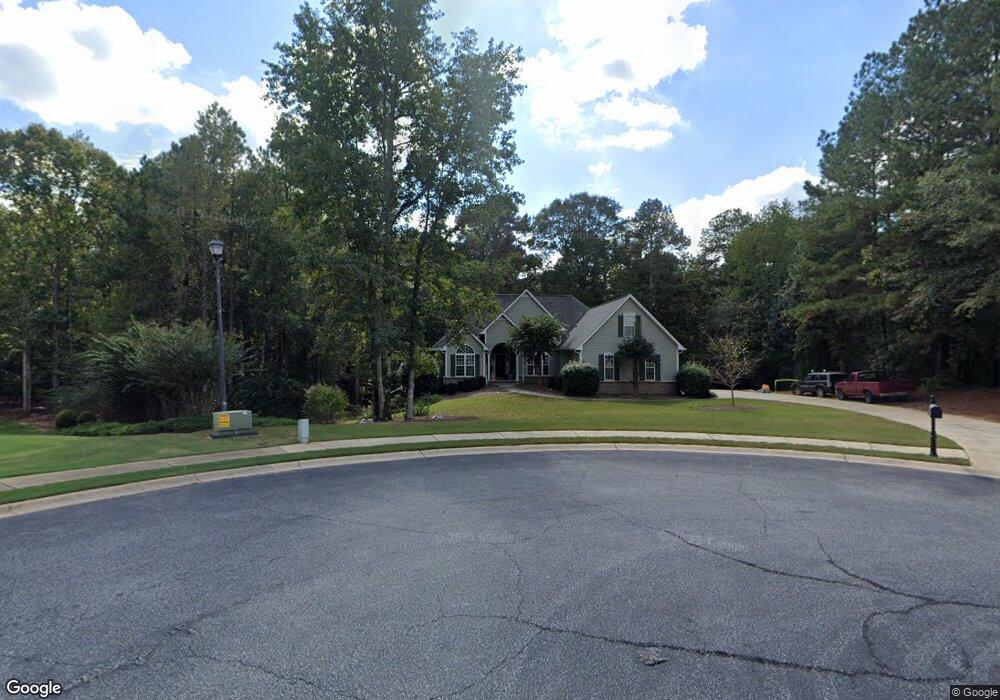
115 Densmorr Ridge Senoia, GA 30276
Estimated Value: $483,000 - $623,611
--
Bed
3
Baths
2,047
Sq Ft
$270/Sq Ft
Est. Value
About This Home
This home is located at 115 Densmorr Ridge, Senoia, GA 30276 and is currently estimated at $553,653, approximately $270 per square foot. 115 Densmorr Ridge is a home located in Fayette County with nearby schools including Peeples Elementary School, Rising Starr Middle School, and Starrs Mill High School.
Ownership History
Date
Name
Owned For
Owner Type
Purchase Details
Closed on
May 31, 2000
Sold by
Ravin Homes Inc
Bought by
Sack Frank J and Sack Virginia P
Current Estimated Value
Home Financials for this Owner
Home Financials are based on the most recent Mortgage that was taken out on this home.
Original Mortgage
$155,000
Outstanding Balance
$54,332
Interest Rate
8.14%
Mortgage Type
New Conventional
Estimated Equity
$499,321
Create a Home Valuation Report for This Property
The Home Valuation Report is an in-depth analysis detailing your home's value as well as a comparison with similar homes in the area
Home Values in the Area
Average Home Value in this Area
Purchase History
| Date | Buyer | Sale Price | Title Company |
|---|---|---|---|
| Sack Frank J | $240,900 | -- |
Source: Public Records
Mortgage History
| Date | Status | Borrower | Loan Amount |
|---|---|---|---|
| Open | Sack Frank J | $155,000 |
Source: Public Records
Tax History Compared to Growth
Tax History
| Year | Tax Paid | Tax Assessment Tax Assessment Total Assessment is a certain percentage of the fair market value that is determined by local assessors to be the total taxable value of land and additions on the property. | Land | Improvement |
|---|---|---|---|---|
| 2024 | $4,707 | $240,492 | $32,000 | $208,492 |
| 2023 | $4,322 | $230,360 | $32,000 | $198,360 |
| 2022 | $4,242 | $182,400 | $32,000 | $150,400 |
| 2021 | $3,947 | $150,920 | $32,000 | $118,920 |
| 2020 | $4,202 | $149,440 | $22,000 | $127,440 |
| 2019 | $3,726 | $131,240 | $22,000 | $109,240 |
| 2018 | $3,959 | $137,800 | $19,000 | $118,800 |
| 2017 | $3,526 | $144,000 | $19,000 | $125,000 |
| 2016 | $3,553 | $120,680 | $19,000 | $101,680 |
| 2015 | $3,387 | $113,080 | $19,000 | $94,080 |
| 2014 | $3,080 | $101,280 | $19,000 | $82,280 |
| 2013 | -- | $97,920 | $0 | $0 |
Source: Public Records
Map
Nearby Homes
- 180 Brechin Dr
- 140 Bontura Dr
- 190 Bontura Dr
- 140 Manor Dr
- 40 Riverstone Dr
- 555 Mountains Edge
- 186 Brittany Ln
- 125 Pinewood Dr
- 153 Highway 85 Connector
- 418 Holly Brook Ln
- 105 Kraftwood Park
- 325 Ivy Ln
- 135 Mulberry Dr
- 45 Mulberry Dr
- 20 Palladian Dr
- 180 Burkwood Ct
- 35 Paddle Boat Cove
- 155 W Creek Ct
- 261 Highway 85 Connector
- 300 Calebee Ave
- 120 Densmorr Ridge
- 105 Densmorr Ridge
- 300 Brechin Dr
- 110 Densmorr Ridge
- 100 Densmorr Ridge
- 285 Brechin Dr
- 275 Brechin Dr
- 275 Brechin Dr Unit 275
- 295 Brechin Dr
- 310 Brechin Dr
- 265 Brechin Dr
- 305 Brechin Dr
- 250 Brechin Dr
- 255 Brechin Dr
- 240 Brechin Dr
- 165 Southmill Ln Unit 12
- 245 Brechin Dr Unit 51
- 245 Brechin Dr
- 230 Brechin Dr
- 215 Brechin Dr