115 Drumm St Moyock, NC 27958
Estimated Value: $302,000 - $356,000
2
Beds
1
Bath
1,240
Sq Ft
$262/Sq Ft
Est. Value
About This Home
This home is located at 115 Drumm St, Moyock, NC 27958 and is currently estimated at $324,331, approximately $261 per square foot. 115 Drumm St is a home with nearby schools including Shawboro Elementary School, Moyock Middle School, and Currituck County High School.
Ownership History
Date
Name
Owned For
Owner Type
Purchase Details
Closed on
Aug 3, 2021
Sold by
Cornelia M Barnes Living Trust
Bought by
Barnes David
Current Estimated Value
Purchase Details
Closed on
Dec 31, 1996
Bought by
Barnes Cornelia
Create a Home Valuation Report for This Property
The Home Valuation Report is an in-depth analysis detailing your home's value as well as a comparison with similar homes in the area
Home Values in the Area
Average Home Value in this Area
Purchase History
| Date | Buyer | Sale Price | Title Company |
|---|---|---|---|
| Barnes David | -- | Brumsey & Brumsey Pllc | |
| Barnes Cornelia | -- | -- |
Source: Public Records
Tax History
| Year | Tax Paid | Tax Assessment Tax Assessment Total Assessment is a certain percentage of the fair market value that is determined by local assessors to be the total taxable value of land and additions on the property. | Land | Improvement |
|---|---|---|---|---|
| 2025 | $1,784 | $241,100 | $89,000 | $152,100 |
| 2024 | $1,784 | $241,100 | $89,000 | $152,100 |
| 2023 | $1,787 | $241,100 | $89,000 | $152,100 |
| 2022 | $1,384 | $241,100 | $89,000 | $152,100 |
| 2021 | $1,376 | $150,000 | $63,900 | $86,100 |
| 2020 | $510 | $150,000 | $63,900 | $86,100 |
| 2019 | $510 | $150,000 | $63,900 | $86,100 |
| 2018 | $0 | $150,000 | $63,900 | $86,100 |
| 2017 | $474 | $150,000 | $63,900 | $86,100 |
| 2016 | $474 | $150,000 | $63,900 | $86,100 |
| 2015 | -- | $150,000 | $63,900 | $86,100 |
Source: Public Records
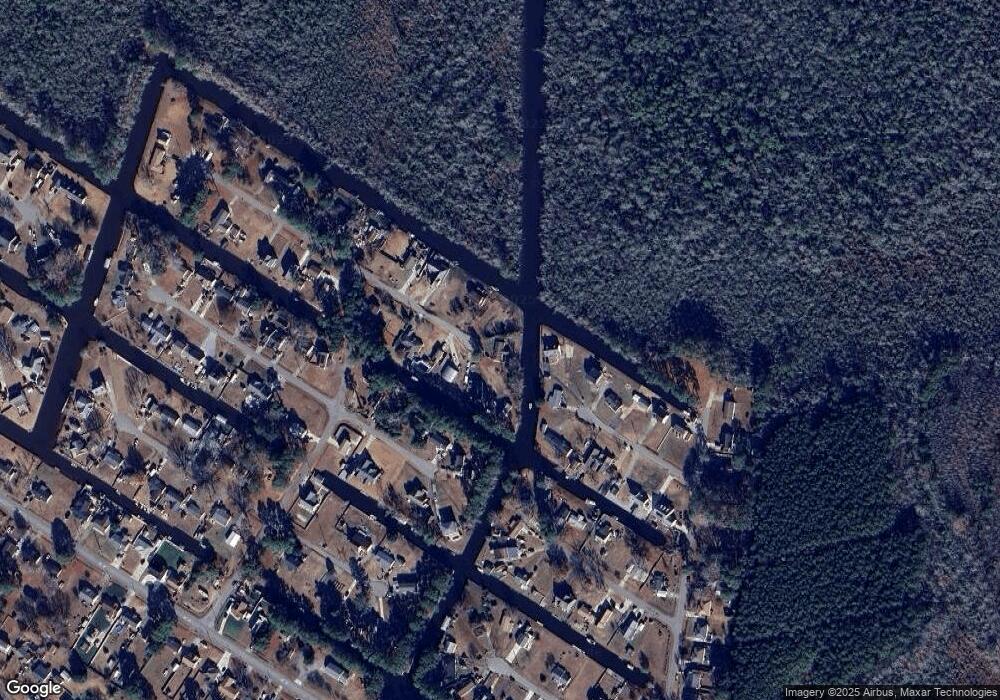
Map
Nearby Homes
- 100 Barracuda St
- 105 Barracuda St
- 105 Barracuda St Unit lot 49
- 1079 Tulls Creek Rd
- 108 Rosedale Ct
- 111 Rosedale Ct Unit Lot 9
- 111 Rosedale Ct
- 104 Briton Way Unit Lot 64
- 104 Briton Way
- 401 Guinea Rd
- 201 Farmstead Loop
- 105 Farmridge Way Unit Lot 153
- 107 Farmridge Way
- 203 Farmstead Loop
- 128 Gables Place
- 101 Avocet Path
- 104 Steppeside Ln
- Mm Northern Pine (Derring Ii) Dr
- 50+AC Poyners Rd
- TBD Poyners Rd
Your Personal Tour Guide
Ask me questions while you tour the home.