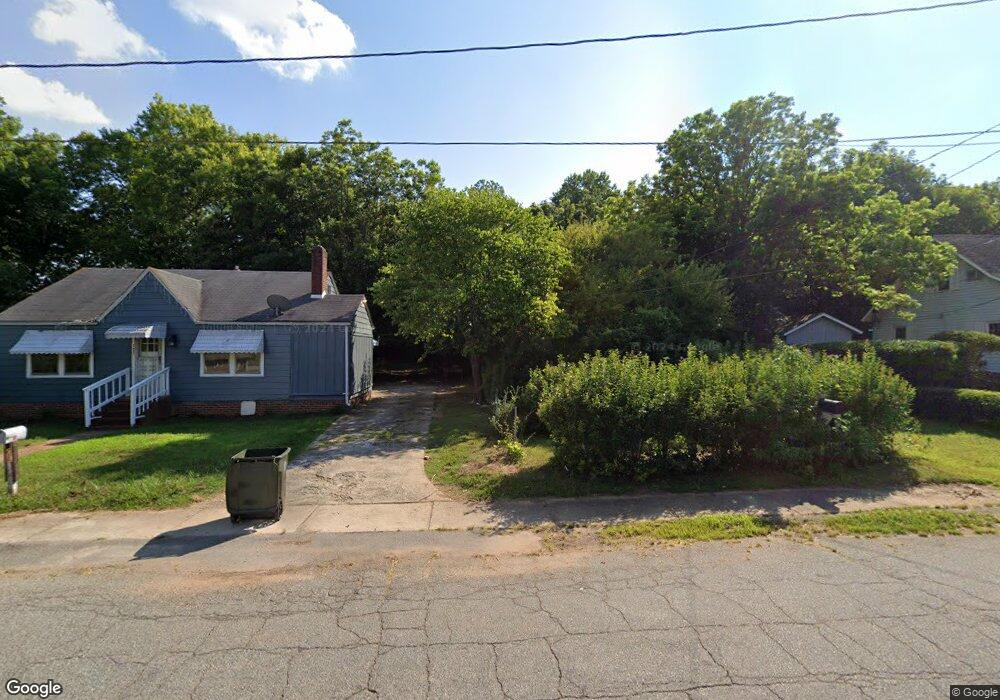
115 E Hemstead St Lexington, NC 27292
Estimated Value: $93,944 - $132,000
2
Beds
1
Bath
1,000
Sq Ft
$107/Sq Ft
Est. Value
About This Home
This home is located at 115 E Hemstead St, Lexington, NC 27292 and is currently estimated at $107,236, approximately $107 per square foot. 115 E Hemstead St is a home located in Davidson County with nearby schools including South Lexington School, Lexington Middle School, and Lexington Senior High School.
Ownership History
Date
Name
Owned For
Owner Type
Purchase Details
Closed on
Aug 27, 2019
Sold by
Surratt Todd J
Bought by
Martinez Julio Cesar
Current Estimated Value
Purchase Details
Closed on
Sep 16, 2004
Sold by
Fannie Mae
Bought by
Surratt Todd J
Purchase Details
Closed on
Jun 3, 2004
Sold by
Cummings Damen
Bought by
Fannie Mae
Purchase Details
Closed on
Sep 19, 2001
Sold by
Network Investment Solutions
Bought by
Cummings Damen
Purchase Details
Closed on
May 22, 2000
Sold by
Pierce Heather D
Bought by
Nationscredit Home Equity
Create a Home Valuation Report for This Property
The Home Valuation Report is an in-depth analysis detailing your home's value as well as a comparison with similar homes in the area
Home Values in the Area
Average Home Value in this Area
Purchase History
| Date | Buyer | Sale Price | Title Company |
|---|---|---|---|
| Martinez Julio Cesar | $21,000 | None Available | |
| Surratt Todd J | -- | -- | |
| Fannie Mae | -- | -- | |
| Cummings Damen | $55,000 | -- | |
| Network Investment Solutions | $30,000 | -- | |
| Nationscredit Home Equity | $20,000 | -- |
Source: Public Records
Tax History
| Year | Tax Paid | Tax Assessment Tax Assessment Total Assessment is a certain percentage of the fair market value that is determined by local assessors to be the total taxable value of land and additions on the property. | Land | Improvement |
|---|---|---|---|---|
| 2025 | $541 | $41,590 | $0 | $0 |
| 2024 | $541 | $41,590 | $0 | $0 |
| 2023 | $545 | $41,590 | $0 | $0 |
| 2022 | $541 | $41,590 | $0 | $0 |
| 2021 | $541 | $41,590 | $0 | $0 |
| 2020 | $511 | $39,600 | $0 | $0 |
| 2019 | $541 | $41,270 | $0 | $0 |
| 2018 | $541 | $41,270 | $0 | $0 |
| 2017 | $541 | $41,270 | $0 | $0 |
| 2016 | $541 | $41,270 | $0 | $0 |
| 2015 | $520 | $41,270 | $0 | $0 |
| 2014 | $713 | $56,560 | $0 | $0 |
Source: Public Records
Map
Nearby Homes
- 402 Martin Luther King jr Blvd
- 232 W 5th St
- 521 E 1st St
- 7 N Pine St
- 926 Greensboro Street Extension
- 22 Covey Ct
- 116 Pond St
- 204 Hamilton Rd
- 00 E 9th St
- 5 Hege Dr
- 130 Church St
- 1207 W Martin Luther King Junior Blvd
- 403 W Center St
- 510 W Center St
- 319 E 3rd Avenue Extension
- 501 W 2nd Ave
- 222 Westover Dr
- 2402 Old U S Highway 52
- 13290 N Carolina 8
- 5150 N Carolina 8
- 117 E Hemstead St
- 113 E Hemstead St
- 122 Hamil St
- 111 E Hemstead St
- 114 Hamil St
- 124 Hamil St
- 121 E Hemstead St
- 112 Hamil St
- 123 E Hemstead St
- 104 Hamil St
- 106 E Hemstead St
- 115 Hamil St Unit 12
- 115 Hamil St
- 117 Hamil St
- 113 Hamil St
- 119 Hamil St
- 111 Hamil St
- 104 E Hemstead St
- 606 Poplar St
- 608 Poplar St
Your Personal Tour Guide
Ask me questions while you tour the home.