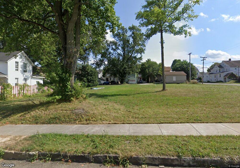
115 E Market St Alliance, OH 44601
Estimated Value: $43,000
3
Beds
2
Baths
1,730
Sq Ft
$25/Sq Ft
Est. Value
About This Home
This home is located at 115 E Market St, Alliance, OH 44601 and is currently priced at $43,000, approximately $24 per square foot. 115 E Market St is a home located in Stark County with nearby schools including Alliance Intermediate School at Northside, Alliance Elementary School at Rockhill, and Alliance Middle School.
Ownership History
Date
Name
Owned For
Owner Type
Purchase Details
Closed on
May 22, 2024
Sold by
Stark Cnty Land Reutilization
Bought by
Alliance City and Alliance Land Reutilizati
Current Estimated Value
Purchase Details
Closed on
Apr 7, 2017
Sold by
Roberts Susan D and Swain Susan D
Bought by
Stark County Land Reutilization Corp
Purchase Details
Closed on
Dec 14, 1994
Sold by
Hawley John N
Bought by
Anthony Rose M
Create a Home Valuation Report for This Property
The Home Valuation Report is an in-depth analysis detailing your home's value as well as a comparison with similar homes in the area
Home Values in the Area
Average Home Value in this Area
Purchase History
| Date | Buyer | Sale Price | Title Company |
|---|---|---|---|
| Alliance City | -- | None Listed On Document | |
| Stark County Land Reutilization Corp | -- | None Available | |
| Anthony Rose M | $12,000 | -- |
Source: Public Records
Tax History Compared to Growth
Tax History
| Year | Tax Paid | Tax Assessment Tax Assessment Total Assessment is a certain percentage of the fair market value that is determined by local assessors to be the total taxable value of land and additions on the property. | Land | Improvement |
|---|---|---|---|---|
| 2025 | -- | $1,860 | $1,860 | -- |
| 2024 | -- | $1,860 | $1,860 | -- |
| 2023 | $0 | $770 | $770 | $0 |
| 2022 | $713 | $770 | $770 | $0 |
| 2021 | $713 | $770 | $770 | $0 |
| 2020 | -- | $770 | $770 | $0 |
| 2019 | $207 | $7,980 | $1,540 | $6,440 |
| 2018 | $0 | $7,980 | $1,540 | $6,440 |
| 2017 | $0 | $7,040 | $1,300 | $5,740 |
| 2016 | $0 | $7,040 | $1,300 | $5,740 |
| 2015 | $713 | $7,040 | $1,300 | $5,740 |
| 2014 | $1,045 | $7,390 | $1,160 | $6,230 |
| 2013 | $422 | $7,390 | $1,160 | $6,230 |
Source: Public Records
Map
Nearby Homes
- 361 E Main St
- 356 E Broadway St
- 427 S Union Ave
- 163 W Market St
- 432 S Linden Ave
- 132 S Haines Ave
- V/L S Fredeom Ave
- 142 S Seneca Ave
- 710 N Freedom Ave
- 124 E Wayne St
- 452 E Summit St
- 140 W Summit St
- 329 1/2 W Main St
- 345 W Market St
- 807 S Union Ave
- 511 W Ely St
- 263 Franklin Ave
- 652 N Webb Ave
- 1005 S Freedom Ave
- 725 W Summit St
- 108 S Park Ave
- 129 E Market St
- 141 E Market St
- 115 S Park Ave
- 116 E Columbia St
- 126 E Columbia St
- 146 S Park Ave
- 134 E Columbia St
- 155 E Market St
- 142 E Columbia St
- 59 E Market St
- 154 E Columbia St
- 49 E Market St
- 62 E Columbia St
- 62 E Market St
- 117 E Main St
- 164 E Columbia St
- 54 E Columbia St
- 9999 S Mechanic Ave
- 9999 S Mechanic Ave