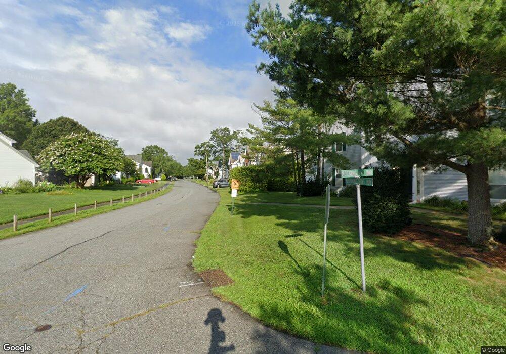
115 E Mourning Dove Way Galloway, NJ 08205
Estimated Value: $274,000 - $325,000
2
Beds
3
Baths
1,520
Sq Ft
$202/Sq Ft
Est. Value
About This Home
This home is located at 115 E Mourning Dove Way, Galloway, NJ 08205 and is currently estimated at $307,519, approximately $202 per square foot. 115 E Mourning Dove Way is a home located in Atlantic County with nearby schools including Absegami High School, Cedar Creek High School, and Oakcrest High School.
Ownership History
Date
Name
Owned For
Owner Type
Purchase Details
Closed on
Jul 24, 2018
Sold by
Samaroo Joycelyn
Bought by
Hutchinson Beth A
Current Estimated Value
Purchase Details
Closed on
May 14, 2010
Sold by
Vasser Mark and Estate Of Doris Cowart
Bought by
Samaroo Joycelyn
Purchase Details
Closed on
Jun 1, 1992
Sold by
K Hovnanian At Galloway Viii Inc
Bought by
Cowart Donald H and Cowart Doris
Create a Home Valuation Report for This Property
The Home Valuation Report is an in-depth analysis detailing your home's value as well as a comparison with similar homes in the area
Home Values in the Area
Average Home Value in this Area
Purchase History
| Date | Buyer | Sale Price | Title Company |
|---|---|---|---|
| Hutchinson Beth A | $125,000 | Surety Title Co | |
| Samaroo Joycelyn | $166,000 | Fidelity National Title | |
| Cowart Donald H | $94,500 | -- |
Source: Public Records
Tax History Compared to Growth
Tax History
| Year | Tax Paid | Tax Assessment Tax Assessment Total Assessment is a certain percentage of the fair market value that is determined by local assessors to be the total taxable value of land and additions on the property. | Land | Improvement |
|---|---|---|---|---|
| 2025 | $4,643 | $139,100 | $36,500 | $102,600 |
| 2024 | $4,643 | $139,100 | $36,500 | $102,600 |
| 2023 | $4,467 | $139,100 | $36,500 | $102,600 |
| 2022 | $4,467 | $139,100 | $36,500 | $102,600 |
| 2021 | $4,377 | $139,100 | $36,500 | $102,600 |
| 2020 | $4,308 | $139,100 | $36,500 | $102,600 |
| 2019 | $4,229 | $139,100 | $36,500 | $102,600 |
| 2018 | $4,288 | $139,100 | $36,500 | $102,600 |
| 2017 | $4,288 | $139,100 | $36,500 | $102,600 |
| 2016 | $4,251 | $139,100 | $36,500 | $102,600 |
| 2015 | $4,231 | $139,100 | $36,500 | $102,600 |
| 2014 | $4,091 | $139,100 | $36,500 | $102,600 |
Source: Public Records
Map
Nearby Homes
- 24 Iroquois Dr Unit 24
- 181 Rumson Dr Unit 1084
- 127 Iroquois Dr Unit F1
- 69 Iroquois Dr
- 69 Iroquois Dr Unit 15
- 140 Rumson Dr Unit 140
- 103 Federal Ct Unit H1
- 37 Colonial Ct Unit H1
- 33 Apache Ct Unit 1903
- 19 Mohave Dr Unit 19
- 22 Colonial Ct
- 34 Navajo Ct
- 213 Patriots Ct Unit 29B
- 4 Navajo Ct
- 68 Colonial Ct
- 52 Navajo Ct Unit C1
- 59 Shawnee Place Unit 9E
- 63 Apache Ct
- 80 Club Place Unit B2
- 41 Seneca Dr
- 113 E Mourning Dove Way
- 117 E Mourning Dove Way
- 111 E Mourning Dove Way
- 109 E Mourning Dove Way
- 107 E Mourning Dove Way
- 19 E Mockingbird Way
- 21 E Mockingbird Way Unit 121E
- 33 E Mockingbird Way
- 31 E Mockingbird Way
- 17 E Mockingbird Way
- 35 E Mockingbird Way
- 29 E Mockingbird Way
- 15 E Mockingbird Way
- 23 E Mockingbird Way
- 27 E Mockingbird Way Unit 123B
- 13 E Mockingbird Way Unit 121
- 116 E Mourning Dove Way
- 25 E Mockingbird Way
- 118 E Mourning Dove Way
- 1 E Mockingbird Way