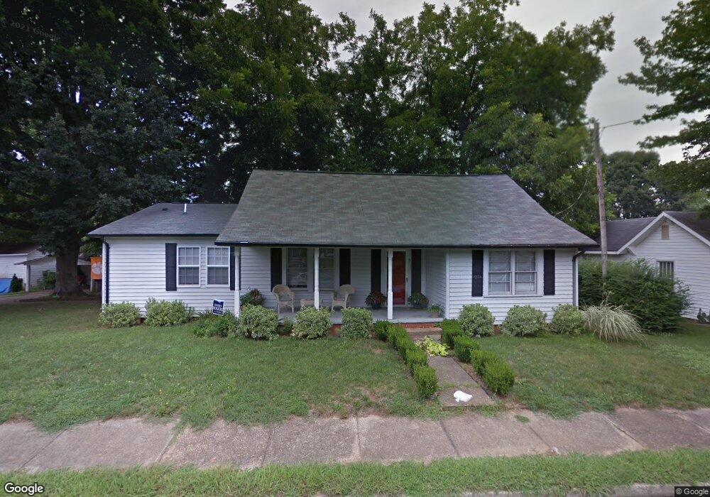
115 East Ave Unit 117 Morganton, NC 28655
Estimated Value: $254,000 - $325,000
2
Beds
2
Baths
1,776
Sq Ft
$162/Sq Ft
Est. Value
About This Home
This home is located at 115 East Ave Unit 117, Morganton, NC 28655 and is currently estimated at $288,600, approximately $162 per square foot. 115 East Ave Unit 117 is a home located in Burke County with nearby schools including Hillcrest Elementary School, Walter R. Johnson Middle School, and Robert L. Patton High School.
Ownership History
Date
Name
Owned For
Owner Type
Purchase Details
Closed on
Sep 30, 2005
Sold by
Simmons Price Kristy Shannon and Price Michael Wade
Bought by
Mccarrick Jeffrey and Carswell Dia P
Current Estimated Value
Home Financials for this Owner
Home Financials are based on the most recent Mortgage that was taken out on this home.
Original Mortgage
$116,000
Outstanding Balance
$60,080
Interest Rate
5.25%
Mortgage Type
Adjustable Rate Mortgage/ARM
Estimated Equity
$228,520
Create a Home Valuation Report for This Property
The Home Valuation Report is an in-depth analysis detailing your home's value as well as a comparison with similar homes in the area
Home Values in the Area
Average Home Value in this Area
Purchase History
| Date | Buyer | Sale Price | Title Company |
|---|---|---|---|
| Mccarrick Jeffrey | $115,000 | None Available |
Source: Public Records
Mortgage History
| Date | Status | Borrower | Loan Amount |
|---|---|---|---|
| Open | Mccarrick Jeffrey | $116,000 |
Source: Public Records
Tax History Compared to Growth
Tax History
| Year | Tax Paid | Tax Assessment Tax Assessment Total Assessment is a certain percentage of the fair market value that is determined by local assessors to be the total taxable value of land and additions on the property. | Land | Improvement |
|---|---|---|---|---|
| 2025 | $1,524 | $228,935 | $60,121 | $168,814 |
| 2024 | $1,529 | $228,935 | $60,121 | $168,814 |
| 2023 | $1,525 | $228,935 | $60,121 | $168,814 |
| 2022 | $1,215 | $151,180 | $37,587 | $113,593 |
| 2021 | $1,203 | $151,180 | $37,587 | $113,593 |
| 2020 | $1,195 | $151,180 | $37,587 | $113,593 |
| 2019 | $1,195 | $151,180 | $37,587 | $113,593 |
| 2018 | $1,081 | $134,820 | $37,587 | $97,233 |
| 2017 | $1,072 | $134,036 | $37,587 | $96,449 |
| 2016 | $1,041 | $134,036 | $37,587 | $96,449 |
| 2015 | $1,035 | $134,036 | $37,587 | $96,449 |
| 2014 | $1,033 | $134,036 | $37,587 | $96,449 |
| 2013 | $1,033 | $134,036 | $37,587 | $96,449 |
Source: Public Records
Map
Nearby Homes
- 406 Lenoir St
- 609 E Concord St
- VL E Concord St
- 404 Huffman St
- 302 White St
- 203 Beacon Ave
- 102 Stephens Dr
- 118 W Union St Unit A
- 710 Bouchelle St
- 105 Newland St
- 112A Wesley Dr Unit B
- 214 Howard St
- 311 W Union St
- 6 Lane St Unit 6
- 211 Hilltop St
- 0 Setzer Dr
- 225 Henry's Glen Dr
- 106 Woodside Place
- 225 Henrys Glen Dr
- Lot 2 Lane St Unit 2