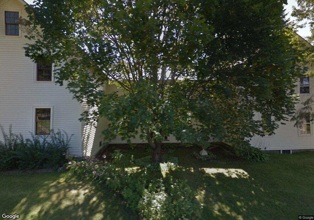
115 Elm St West Newfield, ME 04095
Newfield NeighborhoodEstimated Value: $134,000 - $527,000
--
Bed
2
Baths
--
Sq Ft
18
Acres
About This Home
This home is located at 115 Elm St, West Newfield, ME 04095 and is currently estimated at $415,962. 115 Elm St is a home located in York County with nearby schools including Massabesic High School.
Ownership History
Date
Name
Owned For
Owner Type
Purchase Details
Closed on
Nov 2, 2022
Sold by
Sefton Sonia R Est and Moulton
Bought by
Reynolds Kayla and Radley Michael S
Current Estimated Value
Home Financials for this Owner
Home Financials are based on the most recent Mortgage that was taken out on this home.
Original Mortgage
$307,500
Outstanding Balance
$296,872
Interest Rate
6.7%
Mortgage Type
Purchase Money Mortgage
Estimated Equity
$119,090
Create a Home Valuation Report for This Property
The Home Valuation Report is an in-depth analysis detailing your home's value as well as a comparison with similar homes in the area
Home Values in the Area
Average Home Value in this Area
Purchase History
| Date | Buyer | Sale Price | Title Company |
|---|---|---|---|
| Reynolds Kayla | $440,000 | None Available |
Source: Public Records
Mortgage History
| Date | Status | Borrower | Loan Amount |
|---|---|---|---|
| Open | Reynolds Kayla | $307,500 |
Source: Public Records
Tax History Compared to Growth
Tax History
| Year | Tax Paid | Tax Assessment Tax Assessment Total Assessment is a certain percentage of the fair market value that is determined by local assessors to be the total taxable value of land and additions on the property. | Land | Improvement |
|---|---|---|---|---|
| 2025 | $4,118 | $333,700 | $101,400 | $232,300 |
| 2024 | $3,938 | $333,700 | $101,400 | $232,300 |
| 2023 | $3,644 | $333,700 | $101,400 | $232,300 |
| 2022 | $3,257 | $333,700 | $101,400 | $232,300 |
| 2021 | $3,037 | $266,900 | $81,100 | $185,800 |
| 2020 | $3,037 | $266,900 | $81,100 | $185,800 |
| 2019 | $2,973 | $266,900 | $81,100 | $185,800 |
| 2018 | $2,920 | $266,900 | $81,100 | $185,800 |
| 2017 | $2,883 | $266,900 | $81,100 | $185,800 |
| 2016 | $2,805 | $266,900 | $81,100 | $185,800 |
| 2015 | $2,600 | $266,900 | $81,100 | $185,800 |
| 2014 | $2,883 | $310,000 | $94,900 | $215,100 |
| 2013 | $2,790 | $310,000 | $94,900 | $215,100 |
Source: Public Records
Map
Nearby Homes
- 48 Elm St
- 360 Bridge St
- 44 Carroll Pit Rd
- 154 Staples Rd
- 223 Bridge St
- Lot 3C Bridge St
- 00 Bridge St
- 11 Symmes Dr
- 515 Range East Rd
- 0 Stone Hill Rd
- 91 Patterson Rd
- 545 Foss Rd
- 38-25.2 0 Row Mowry Ln
- 282 Granny Kent Pond Rd
- 585 Newfield Rd
- 590 Newfield Rd
- 164 Granny Kent Pond Rd
- 220 Bond Spring Rd
- 00 Carter Ln
- 570 Maplewood Rd