115 Evans Ln Wayland, MI 49348
Estimated Value: $208,000 - $367,000
1
Bed
1
Bath
800
Sq Ft
$366/Sq Ft
Est. Value
About This Home
This home is located at 115 Evans Ln, Wayland, MI 49348 and is currently estimated at $292,679, approximately $365 per square foot. 115 Evans Ln is a home located in Barry County with nearby schools including Wayland High School.
Ownership History
Date
Name
Owned For
Owner Type
Purchase Details
Closed on
Apr 16, 2018
Sold by
Zyskowski Timothy J and Zyskowski Tim
Bought by
Brooks Heather and Brooks Andrew
Current Estimated Value
Home Financials for this Owner
Home Financials are based on the most recent Mortgage that was taken out on this home.
Original Mortgage
$157,500
Outstanding Balance
$135,510
Interest Rate
4.46%
Mortgage Type
New Conventional
Estimated Equity
$157,169
Purchase Details
Closed on
Nov 9, 2006
Sold by
Lavigne Joseph J and Lavigne Barbara
Bought by
Zyskowski Timothy J and Zyskowski Josephine A
Home Financials for this Owner
Home Financials are based on the most recent Mortgage that was taken out on this home.
Original Mortgage
$130,200
Interest Rate
6.41%
Mortgage Type
Purchase Money Mortgage
Purchase Details
Closed on
Aug 29, 2005
Sold by
Lavigne Joseph J and Lavigne Barbara
Bought by
Zyskowski Tim and Zyskowski Josephine A
Create a Home Valuation Report for This Property
The Home Valuation Report is an in-depth analysis detailing your home's value as well as a comparison with similar homes in the area
Home Values in the Area
Average Home Value in this Area
Purchase History
| Date | Buyer | Sale Price | Title Company |
|---|---|---|---|
| Brooks Heather | -- | Lighthouse Title Agency | |
| Zyskowski Timothy J | $129,500 | Metropolitan Title Company | |
| Zyskowski Tim | -- | -- |
Source: Public Records
Mortgage History
| Date | Status | Borrower | Loan Amount |
|---|---|---|---|
| Open | Brooks Heather | $157,500 | |
| Previous Owner | Zyskowski Timothy J | $130,200 |
Source: Public Records
Tax History Compared to Growth
Tax History
| Year | Tax Paid | Tax Assessment Tax Assessment Total Assessment is a certain percentage of the fair market value that is determined by local assessors to be the total taxable value of land and additions on the property. | Land | Improvement |
|---|---|---|---|---|
| 2025 | $3,225 | $118,900 | $0 | $0 |
| 2024 | $3,225 | $109,700 | $0 | $0 |
| 2023 | $2,914 | $76,800 | $0 | $0 |
| 2022 | $2,914 | $76,800 | $0 | $0 |
| 2021 | $2,914 | $70,800 | $0 | $0 |
| 2020 | $2,814 | $64,700 | $0 | $0 |
| 2019 | $2,814 | $63,700 | $0 | $0 |
| 2018 | $2,711 | $57,500 | $35,700 | $21,800 |
| 2017 | $2,711 | $57,500 | $0 | $0 |
| 2016 | -- | $57,600 | $0 | $0 |
| 2015 | -- | $55,500 | $0 | $0 |
| 2014 | -- | $55,500 | $0 | $0 |
Source: Public Records
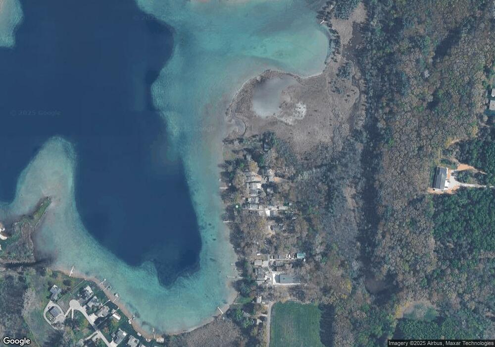
Map
Nearby Homes
- 12031 Sandstone Dr
- 12169 Pine Meadows Dr
- 1164 E Bernie Ct
- 12720 S Grey Ct
- 12857 Michael Dr Unit 49
- 1391 Shadowridge Dr
- 1736 Parker Dr
- 1875 Edwin Dr
- 1980 Parker Dr
- 11753 Rosemary Ln
- 11751 Rosemary Ln
- 11065 W M 179 Hwy
- 12712 Sunrise Ct
- 2724 Pasture Ln
- 35 Cannonball Ln
- 1823 Starr View Ln Unit 11
- 11401 Davis Rd
- 0 Spruce Hollow Dr Unit Parcel B
- 2615 Harwood Lake Rd
- 3140 Sandy Beach St