Estimated Value: $762,395 - $889,000
4
Beds
4
Baths
3,354
Sq Ft
$239/Sq Ft
Est. Value
About This Home
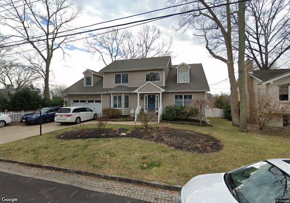
This home is located at 115 Forest Rd, Brick, NJ 08724 and is currently estimated at $802,099, approximately $239 per square foot. 115 Forest Rd is a home located in Ocean County with nearby schools including Midstreams Elementary School, Veterans Memorial Middle School, and Brick Township Memorial High School.
Ownership History
Date
Name
Owned For
Owner Type
Purchase Details
Closed on
Dec 14, 2022
Sold by
Mccutcheon Scott
Bought by
Mccutcheon Laura
Current Estimated Value
Purchase Details
Closed on
Oct 6, 2011
Sold by
Us Bank Na
Bought by
Mccutcheon Scott W and Mccutcheon Laura
Home Financials for this Owner
Home Financials are based on the most recent Mortgage that was taken out on this home.
Original Mortgage
$247,000
Interest Rate
4.25%
Mortgage Type
New Conventional
Purchase Details
Closed on
Sep 27, 2010
Sold by
Smith Frank D and Smith Susan A
Bought by
U S Bank National Association
Purchase Details
Closed on
Sep 17, 2007
Sold by
Smith Susan A
Bought by
Smith Frank D
Purchase Details
Closed on
Nov 29, 2000
Sold by
Demaio Marguerite
Bought by
Smith Frank and Smith Susan
Home Financials for this Owner
Home Financials are based on the most recent Mortgage that was taken out on this home.
Original Mortgage
$140,000
Interest Rate
7.76%
Create a Home Valuation Report for This Property
The Home Valuation Report is an in-depth analysis detailing your home's value as well as a comparison with similar homes in the area
Home Values in the Area
Average Home Value in this Area
Purchase History
| Date | Buyer | Sale Price | Title Company |
|---|---|---|---|
| Mccutcheon Laura | -- | -- | |
| Mccutcheon Scott W | $309,000 | None Available | |
| U S Bank National Association | -- | None Available | |
| Smith Frank D | -- | None Available | |
| Smith Frank | $132,000 | -- | |
| Smith Frank | $132,000 | -- |
Source: Public Records
Mortgage History
| Date | Status | Borrower | Loan Amount |
|---|---|---|---|
| Previous Owner | Mccutcheon Scott W | $247,000 | |
| Previous Owner | Smith Frank | $140,000 |
Source: Public Records
Tax History
| Year | Tax Paid | Tax Assessment Tax Assessment Total Assessment is a certain percentage of the fair market value that is determined by local assessors to be the total taxable value of land and additions on the property. | Land | Improvement |
|---|---|---|---|---|
| 2025 | $10,419 | $399,200 | $165,600 | $233,600 |
| 2024 | $9,888 | $399,200 | $165,600 | $233,600 |
Source: Public Records
Map
Nearby Homes
- 13 Golden Rod Ct
- 2 Brant Dr Unit Lot 5.01
- 3 C Trail
- 1 Princeton Pines Place
- 74 Fairview Ave
- 113 Elizabeth Ave
- 94 Sleepy Hollow Dr
- 241 Old Squan Rd
- 169 Lenox St
- 209 Winchester Dr
- 24 Davos Rd
- 106 Arrowhead Park Dr
- 768 Barberry Dr
- 313 Shawnee Dr
- 53 Albert Cucci Dr
- 203 Lorraine Place
- 315 Shawnee Dr
- 746 Pine Dr
- 744 Pine Dr
- 49 N Cherokee Ln