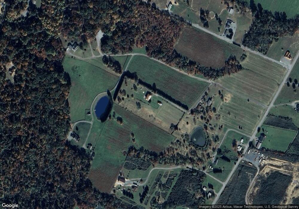
115 Forgotten Rd Martinsburg, WV 25403
Estimated Value: $330,000 - $445,000
3
Beds
3
Baths
2,296
Sq Ft
$166/Sq Ft
Est. Value
About This Home
This home is located at 115 Forgotten Rd, Martinsburg, WV 25403 and is currently estimated at $382,211, approximately $166 per square foot. 115 Forgotten Rd is a home located in Berkeley County with nearby schools including Gerrardstown Elementary School, Mountain Ridge Intermediate School, and Mountain Ridge Middle School.
Ownership History
Date
Name
Owned For
Owner Type
Purchase Details
Closed on
Feb 18, 2014
Sold by
Lindsay Lindsay and Russo Lindsay
Bought by
Russo Lindsay and Russo Joseph
Current Estimated Value
Purchase Details
Closed on
Aug 3, 2011
Sold by
Hsbc Bank Usa Na
Bought by
Breeden Lindsay
Home Financials for this Owner
Home Financials are based on the most recent Mortgage that was taken out on this home.
Original Mortgage
$149,386
Interest Rate
4.62%
Mortgage Type
FHA
Create a Home Valuation Report for This Property
The Home Valuation Report is an in-depth analysis detailing your home's value as well as a comparison with similar homes in the area
Home Values in the Area
Average Home Value in this Area
Purchase History
| Date | Buyer | Sale Price | Title Company |
|---|---|---|---|
| Russo Lindsay | -- | -- | |
| Breeden Lindsay | $125,000 | -- |
Source: Public Records
Mortgage History
| Date | Status | Borrower | Loan Amount |
|---|---|---|---|
| Previous Owner | Breeden Lindsay | $149,386 |
Source: Public Records
Tax History Compared to Growth
Tax History
| Year | Tax Paid | Tax Assessment Tax Assessment Total Assessment is a certain percentage of the fair market value that is determined by local assessors to be the total taxable value of land and additions on the property. | Land | Improvement |
|---|---|---|---|---|
| 2024 | $1,997 | $162,730 | $34,810 | $127,920 |
| 2023 | $2,057 | $162,730 | $34,810 | $127,920 |
| 2022 | $1,772 | $152,230 | $33,310 | $118,920 |
| 2021 | $1,685 | $143,710 | $31,810 | $111,900 |
| 2020 | $1,626 | $138,490 | $31,810 | $106,680 |
| 2019 | $1,588 | $134,290 | $31,810 | $102,480 |
| 2018 | $1,581 | $133,510 | $31,810 | $101,700 |
| 2017 | $1,552 | $130,210 | $31,810 | $98,400 |
| 2016 | $1,554 | $129,180 | $31,800 | $97,380 |
| 2015 | $1,583 | $128,170 | $31,800 | $96,370 |
| 2014 | $1,573 | $127,030 | $31,800 | $95,230 |
Source: Public Records
Map
Nearby Homes
- 1745 Needmore Rd
- LOT 12 Radio Tower Rd
- 291 Needmore Rd
- 0 Panther Ln Unit WVBE2039578
- 0 Tuscarora Pike Parcel 14
- 1505 Loop Rd
- 1100 Loop Rd
- 939 Loop Rd
- 117 Florence Ln
- 0 Tuscarora Pike Parcel 13
- 0 Tabler Station Rd Unit WVBE2001442
- Lot 9 Tabler Station Rd
- 1364 Allegheny Way
- 8091 Apple Harvest Dr
- 82 Sabrina Ln
- 2803 Cheyennes Trail
- 5028 Arden Nollville Rd
- 52 Teardrop Trail
- Lot 54 Teardrop Trail
- Lot 12 Brownington Dr
- 183 Forgotten Rd
- 416 Forgotten Rd
- 113 Forgotten Rd
- 113 Forgotten Rd
- 1341 Poor House Rd
- 1399 Poor House Rd
- 1293 Poor House Rd
- 1227 Poor House Rd
- 188 Walter Dr
- 1442 Poor House Farm Rd
- 1442 Poor House Rd
- 1229 Poor House Rd
- 96 Walter Dr
- 1235 Poor House Rd
- 81 Dungiven Ln
- 82 Dungiven Ln
- 1181 Poor House Rd
- 1442 Needmore Rd
- 2156 Needmore Rd
- 166 Walter Dr
