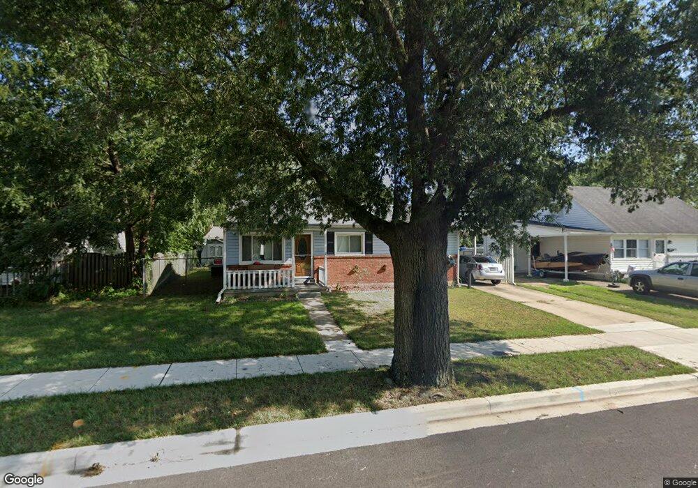
115 Furnlea Dr Glen Burnie, MD 21060
Estimated Value: $335,000 - $383,000
3
Beds
1
Bath
955
Sq Ft
$384/Sq Ft
Est. Value
About This Home
This home is located at 115 Furnlea Dr, Glen Burnie, MD 21060 and is currently estimated at $366,290, approximately $383 per square foot. 115 Furnlea Dr is a home located in Anne Arundel County with nearby schools including Point Pleasant Elementary School, Marley Middle School, and Glen Burnie High School.
Ownership History
Date
Name
Owned For
Owner Type
Purchase Details
Closed on
Aug 3, 2015
Sold by
Wolfrey Robert A and Wolfry Melissa D
Bought by
Wolfrey Robert A and Wolfrey Melissa D
Current Estimated Value
Home Financials for this Owner
Home Financials are based on the most recent Mortgage that was taken out on this home.
Original Mortgage
$210,500
Outstanding Balance
$165,838
Interest Rate
4.08%
Mortgage Type
New Conventional
Estimated Equity
$200,452
Purchase Details
Closed on
Oct 29, 2009
Sold by
Erbe Edward W
Bought by
Wolfrey Robert A and White Melissa D
Home Financials for this Owner
Home Financials are based on the most recent Mortgage that was taken out on this home.
Original Mortgage
$228,288
Interest Rate
5.14%
Mortgage Type
FHA
Create a Home Valuation Report for This Property
The Home Valuation Report is an in-depth analysis detailing your home's value as well as a comparison with similar homes in the area
Home Values in the Area
Average Home Value in this Area
Purchase History
| Date | Buyer | Sale Price | Title Company |
|---|---|---|---|
| Wolfrey Robert A | -- | Vintage Point Title Inc | |
| Wolfrey Robert A | $232,500 | -- |
Source: Public Records
Mortgage History
| Date | Status | Borrower | Loan Amount |
|---|---|---|---|
| Open | Wolfrey Robert A | $210,500 | |
| Closed | Wolfrey Robert A | $228,288 |
Source: Public Records
Tax History Compared to Growth
Tax History
| Year | Tax Paid | Tax Assessment Tax Assessment Total Assessment is a certain percentage of the fair market value that is determined by local assessors to be the total taxable value of land and additions on the property. | Land | Improvement |
|---|---|---|---|---|
| 2025 | $3,669 | $309,700 | $159,500 | $150,200 |
| 2024 | $3,669 | $289,200 | $0 | $0 |
| 2023 | $3,408 | $268,700 | $0 | $0 |
| 2022 | $3,024 | $248,200 | $123,500 | $124,700 |
| 2021 | $5,991 | $245,467 | $0 | $0 |
| 2020 | $2,926 | $242,733 | $0 | $0 |
| 2019 | $2,900 | $240,000 | $113,500 | $126,500 |
| 2018 | $2,363 | $233,033 | $0 | $0 |
| 2017 | $2,687 | $226,067 | $0 | $0 |
| 2016 | -- | $219,100 | $0 | $0 |
| 2015 | -- | $212,533 | $0 | $0 |
| 2014 | -- | $205,967 | $0 | $0 |
Source: Public Records
Map
Nearby Homes
- 202 Hollywood Ct
- 210 Hollywood Ct
- 906 Silver Maple Ct
- 900 Princeton Terrace
- 907 Princeton Terrace
- 136 Margate Dr
- 933 Andrews Rd
- 1125 Wynbrook Rd
- 1319 Meadowvale Rd
- 649 New Jersey Ave NE
- 412 6th Ave NE
- 110 Northdale Rd
- 26 Elm Dr
- 36 Elm Dr
- 1531 Furnace Ave
- 352 Gatewater Ct Unit A
- 204 Carroll Rd
- 0 Ritchie Hwy
- 7805 Leymar Rd
- 1017 4th St