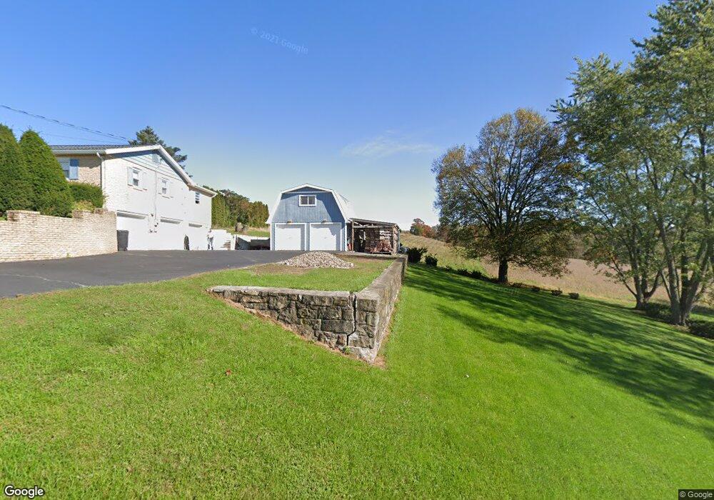
115 Gearhart Ave Sunbury, PA 17801
Estimated Value: $113,912 - $353,000
--
Bed
--
Bath
--
Sq Ft
0.53
Acres
About This Home
This home is located at 115 Gearhart Ave, Sunbury, PA 17801 and is currently estimated at $266,728. 115 Gearhart Ave is a home located in Northumberland County with nearby schools including Shikellamy High School and St Monica School.
Ownership History
Date
Name
Owned For
Owner Type
Purchase Details
Closed on
Jul 1, 2010
Sold by
Petricoin Barbara Anne
Bought by
Palko Gary L and Palko Karen E
Current Estimated Value
Home Financials for this Owner
Home Financials are based on the most recent Mortgage that was taken out on this home.
Original Mortgage
$143,900
Outstanding Balance
$48,488
Interest Rate
4.88%
Mortgage Type
New Conventional
Estimated Equity
$218,240
Create a Home Valuation Report for This Property
The Home Valuation Report is an in-depth analysis detailing your home's value as well as a comparison with similar homes in the area
Home Values in the Area
Average Home Value in this Area
Purchase History
| Date | Buyer | Sale Price | Title Company |
|---|---|---|---|
| Palko Gary L | $179,900 | None Available |
Source: Public Records
Mortgage History
| Date | Status | Borrower | Loan Amount |
|---|---|---|---|
| Open | Palko Gary L | $143,900 |
Source: Public Records
Tax History Compared to Growth
Tax History
| Year | Tax Paid | Tax Assessment Tax Assessment Total Assessment is a certain percentage of the fair market value that is determined by local assessors to be the total taxable value of land and additions on the property. | Land | Improvement |
|---|---|---|---|---|
| 2025 | $4,330 | $32,460 | $3,660 | $28,800 |
| 2024 | $4,167 | $32,460 | $3,660 | $28,800 |
| 2023 | $4,167 | $32,460 | $3,660 | $28,800 |
| 2022 | $4,135 | $32,460 | $3,660 | $28,800 |
| 2021 | $4,070 | $32,460 | $3,660 | $28,800 |
| 2020 | $3,680 | $29,350 | $3,640 | $25,710 |
| 2019 | $3,558 | $29,350 | $3,640 | $25,710 |
| 2018 | $3,499 | $29,350 | $3,640 | $25,710 |
| 2017 | $3,357 | $29,350 | $3,640 | $25,710 |
| 2016 | -- | $29,350 | $3,640 | $25,710 |
| 2015 | -- | $29,350 | $3,640 | $25,710 |
| 2014 | -- | $29,350 | $3,640 | $25,710 |
Source: Public Records
Map
Nearby Homes
- 808 State Route 61
- 281 2nd Ave
- 249 E Haas Manor Rd
- 420 Grant St
- 1299 Edison Heights
- 0 Mount Trail
- 1253 Highland Ave
- 1025 Reagan St
- 135 N 11th St
- 1152 Chestnut St
- 1140 Chestnut St
- 210 Catawissa Ave
- 1103 Market St
- 406 N 9th St
- 1817 State Route 61
- 99 Catawissa Ave Unit 101
- 1049 Chestnut St
- 438 N 7th St
- 816 N 5th St
- 535 Line St
- 118 Gearhart Ave
- 101 Gearhart Ave
- 129 Gearhart Ave
- 1339 Hillside Dr
- 141 Gearhart Ave
- 116 Laurelwood Dr
- 1327 Hillside Dr
- 148 Laurelwood Dr
- 119 Laurelwood Dr
- 1310 Hillside Dr
- 1315 Hillside Dr
- 168 Laurelwood Dr
- 871 State Route 61
- 1298 Hillside Dr
- 1305 Hillside Dr
- 869 State Route 61
- 180 Laurelwood Dr
- 145 W 3rd Ave
- 925 State Route 61
- 1288 Hillside Dr