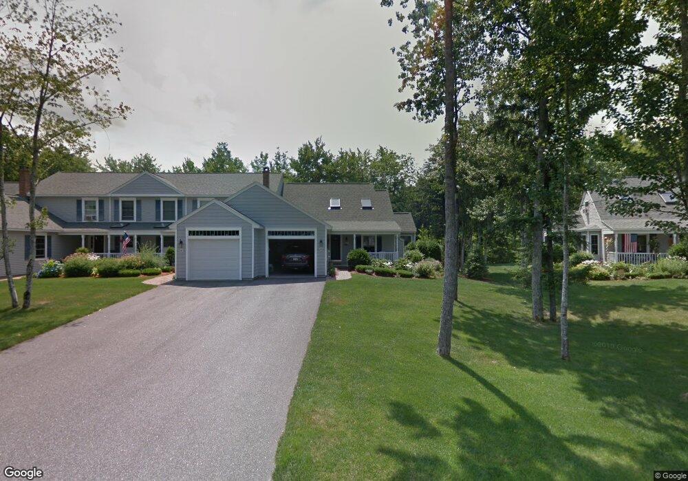
115 Hampton Glen Dr Kennebunk, ME 04043
Estimated Value: $559,000 - $613,732
3
Beds
3
Baths
1,797
Sq Ft
$331/Sq Ft
Est. Value
About This Home
This home is located at 115 Hampton Glen Dr, Kennebunk, ME 04043 and is currently estimated at $593,933, approximately $330 per square foot. 115 Hampton Glen Dr is a home located in York County with nearby schools including Kennebunk High School and The New School.
Ownership History
Date
Name
Owned For
Owner Type
Purchase Details
Closed on
Oct 24, 2023
Sold by
Shaughnessy Cynthia A and Shaughnessy Brian H
Bought by
Kuhn Dale A
Current Estimated Value
Home Financials for this Owner
Home Financials are based on the most recent Mortgage that was taken out on this home.
Original Mortgage
$329,000
Outstanding Balance
$322,603
Interest Rate
7.18%
Mortgage Type
Purchase Money Mortgage
Estimated Equity
$271,330
Create a Home Valuation Report for This Property
The Home Valuation Report is an in-depth analysis detailing your home's value as well as a comparison with similar homes in the area
Home Values in the Area
Average Home Value in this Area
Purchase History
| Date | Buyer | Sale Price | Title Company |
|---|---|---|---|
| Kuhn Dale A | $579,000 | None Available |
Source: Public Records
Mortgage History
| Date | Status | Borrower | Loan Amount |
|---|---|---|---|
| Open | Kuhn Dale A | $329,000 |
Source: Public Records
Tax History Compared to Growth
Tax History
| Year | Tax Paid | Tax Assessment Tax Assessment Total Assessment is a certain percentage of the fair market value that is determined by local assessors to be the total taxable value of land and additions on the property. | Land | Improvement |
|---|---|---|---|---|
| 2024 | $5,912 | $348,800 | $85,300 | $263,500 |
| 2023 | $5,598 | $348,800 | $85,300 | $263,500 |
| 2022 | $5,092 | $348,800 | $85,300 | $263,500 |
| 2021 | $4,970 | $348,800 | $85,300 | $263,500 |
| 2020 | $4,936 | $348,800 | $85,300 | $263,500 |
| 2019 | $4,796 | $348,800 | $85,300 | $263,500 |
| 2018 | $4,578 | $261,600 | $64,000 | $197,600 |
| 2017 | $4,329 | $261,600 | $64,000 | $197,600 |
| 2016 | $4,159 | $261,600 | $64,000 | $197,600 |
| 2015 | $3,857 | $261,600 | $64,000 | $197,600 |
| 2014 | $3,756 | $261,600 | $64,000 | $197,600 |
Source: Public Records
Map
Nearby Homes
- 22 Winchester Ct
- 59 Plymouth Grove Unit 11
- 3 Kensington Dr
- 17 Hampton Glen Dr Unit 5
- 9 Hampton Glen Dr Unit 3
- 6 Dunnhill Dr Unit 28
- 29 Bentley Place Unit 50
- 056 Cat Mousam Rd
- 3 Nichols Ln
- 2 Chestnut Ln Unit 2
- 10 Intervale Rd
- 7 Dogwood Cir
- 9 Rusty Bucket Ln
- 52 Fletcher St
- 121 Fletcher St
- 61 Fletcher St
- 54 Sycamore Ln Unit 19
- 14 Wiggins Pond Ln
- 3 Hardwood Dr
- 11 Greenwich Way Unit 43
- 115 Hampton Glen Dr Unit 25
- 117 Hampton Glen Dr
- 117 Hampton Glen Dr Unit 26
- 119 Hampton Glen Dr
- 121 Hampton Glen Dr
- 109 Hampton Glen Dr
- 109 Hampton Glen Dr Unit 24
- 107 Hampton Glen Dr
- 105 Hampton Glen Dr
- 103 Hampton Glen Dr
- 103 Hampton Glen Dr Unit 21
- 90 Stratford Place
- 110 Hampton Glen Dr
- 108 Hampton Glen Dr
- 108 Hampton Glen Dr Unit 18
- 88 Stratford Place
- 86 Stratford Place
- 84 Stratford Place
- 84 Stratford Place Unit 32
- 106 Hampton Glen Dr