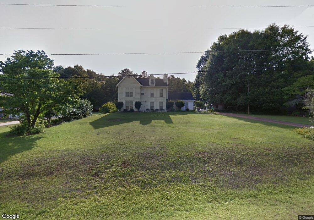
115 Hawthorne Cir Lagrange, GA 30240
Estimated Value: $262,384 - $278,000
3
Beds
3
Baths
1,840
Sq Ft
$148/Sq Ft
Est. Value
About This Home
This home is located at 115 Hawthorne Cir, Lagrange, GA 30240 and is currently estimated at $272,596, approximately $148 per square foot. 115 Hawthorne Cir is a home located in Troup County with nearby schools including Long Cane Elementary School, Berta Weathersbee Elementary School, and Whitesville Road Elementary School.
Ownership History
Date
Name
Owned For
Owner Type
Purchase Details
Closed on
Feb 17, 1995
Sold by
Andrew F Mclean
Bought by
Kurihara Sakae and Kurihara Delia
Current Estimated Value
Purchase Details
Closed on
May 28, 1988
Sold by
Dan-Ric Inc
Bought by
Andrew F Mclean
Purchase Details
Closed on
Sep 1, 1986
Sold by
Dan-Ric Inc
Bought by
Dan-Ric Inc
Create a Home Valuation Report for This Property
The Home Valuation Report is an in-depth analysis detailing your home's value as well as a comparison with similar homes in the area
Home Values in the Area
Average Home Value in this Area
Purchase History
| Date | Buyer | Sale Price | Title Company |
|---|---|---|---|
| Kurihara Sakae | $87,500 | -- | |
| Andrew F Mclean | $10,000 | -- | |
| Dan-Ric Inc | $87,400 | -- |
Source: Public Records
Tax History Compared to Growth
Tax History
| Year | Tax Paid | Tax Assessment Tax Assessment Total Assessment is a certain percentage of the fair market value that is determined by local assessors to be the total taxable value of land and additions on the property. | Land | Improvement |
|---|---|---|---|---|
| 2024 | $1,939 | $73,080 | $14,000 | $59,080 |
| 2023 | $1,445 | $72,880 | $10,000 | $62,880 |
| 2022 | $1,793 | $66,240 | $8,000 | $58,240 |
| 2021 | $1,547 | $53,280 | $6,000 | $47,280 |
| 2020 | $1,547 | $53,280 | $6,000 | $47,280 |
| 2019 | $1,478 | $51,000 | $6,000 | $45,000 |
| 2018 | $1,478 | $51,000 | $6,000 | $45,000 |
| 2017 | $1,478 | $51,000 | $6,000 | $45,000 |
| 2016 | $1,452 | $50,117 | $7,200 | $42,917 |
| 2015 | $1,454 | $50,117 | $7,200 | $42,917 |
| 2014 | $1,388 | $47,858 | $7,200 | $40,658 |
| 2013 | -- | $50,512 | $7,200 | $43,312 |
Source: Public Records
Map
Nearby Homes
- 110 Hawthorne Cir
- 105 Hawthorne Cir
- 103 Hawthorne Cir
- 100 Huntcliff Ct
- 124 Foxdale Dr
- 190 Hill Rd
- 141 Plymouth Dr
- 102 Franklin Place
- 135 Planters Ridge Dr
- 509 Connie Dr
- 119 Plymouth Dr
- 808 S Fling Rd
- 37 Overbrook Dr
- 101 Ivy Springs Dr
- 0 Bradfield Dr Unit 10568803
- 0 Deming St Unit 10550189
- 474 Newton Rd
- 40 River Point Dr
- 22 Freeman Rd
- 61 Freeman Rd
- 117 Hawthorne Cir
- 113 Hawthorne Cir
- 111 Hawthorne Cir
- 108 Hawthorne Cir
- 119 Hawthorne Cir
- 106 Hawthorne Cir
- 104 Hawthorne Cir
- 121 Hawthorne Cir
- 109 Hawthorne Cir
- 123 Hawthorne Cir
- 107 Hawthorne Cir
- 128 Hawthorne Cir
- 112 Hawthorne Cir
- 125 Hawthorne Cir
- 130 Hawthorne Cir
- 127 Hawthorne Cir
- 126 Hawthorne Cir
- 114 Hawthorne Cir
- 110 Westlake Dr
- 0 Hawthorne Cir Unit 7282470