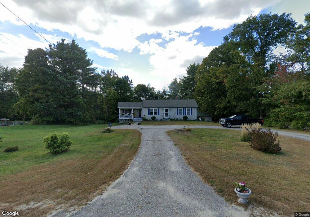
115 Intervale Rd New Gloucester, ME 04260
Estimated Value: $389,778 - $476,000
2
Beds
1
Bath
1,348
Sq Ft
$317/Sq Ft
Est. Value
About This Home
This home is located at 115 Intervale Rd, New Gloucester, ME 04260 and is currently estimated at $427,695, approximately $317 per square foot. 115 Intervale Rd is a home located in Cumberland County with nearby schools including Gray-New Gloucester High School.
Ownership History
Date
Name
Owned For
Owner Type
Purchase Details
Closed on
Oct 31, 2007
Sold by
Merry Luther F
Bought by
Latuscha Joseph J and Latuscha Kelly J
Current Estimated Value
Home Financials for this Owner
Home Financials are based on the most recent Mortgage that was taken out on this home.
Original Mortgage
$133,425
Outstanding Balance
$83,867
Interest Rate
6.43%
Mortgage Type
FHA
Estimated Equity
$343,828
Create a Home Valuation Report for This Property
The Home Valuation Report is an in-depth analysis detailing your home's value as well as a comparison with similar homes in the area
Home Values in the Area
Average Home Value in this Area
Purchase History
| Date | Buyer | Sale Price | Title Company |
|---|---|---|---|
| Latuscha Joseph J | -- | -- |
Source: Public Records
Mortgage History
| Date | Status | Borrower | Loan Amount |
|---|---|---|---|
| Open | Latuscha Joseph J | $133,425 |
Source: Public Records
Tax History
| Year | Tax Paid | Tax Assessment Tax Assessment Total Assessment is a certain percentage of the fair market value that is determined by local assessors to be the total taxable value of land and additions on the property. | Land | Improvement |
|---|---|---|---|---|
| 2025 | $3,480 | $224,921 | $84,000 | $140,921 |
| 2024 | $3,349 | $224,921 | $84,000 | $140,921 |
| 2023 | $3,214 | $224,921 | $84,000 | $140,921 |
| 2022 | $3,104 | $224,921 | $84,000 | $140,921 |
| 2021 | $3,104 | $224,921 | $84,000 | $140,921 |
| 2020 | $3,070 | $224,921 | $84,000 | $140,921 |
| 2019 | $3,154 | $186,600 | $65,800 | $120,800 |
| 2018 | $2,632 | $186,600 | $65,800 | $120,800 |
| 2017 | $2,911 | $186,600 | $65,800 | $120,800 |
| 2016 | $2,743 | $186,600 | $65,800 | $120,800 |
| 2015 | $2,734 | $186,600 | $65,800 | $120,800 |
| 2014 | $2,706 | $186,600 | $65,800 | $120,800 |
| 2013 | $2,510 | $186,600 | $65,800 | $120,800 |
Source: Public Records
Map
Nearby Homes
- 12 Country Charm Ln
- Bowdoin Way
- 10-56 C&E Bowdoin Way
- 155 & 151 Gloucester Hill Rd
- 110 Bennett Rd
- TBD Emmaus Rd
- TBD Targett Rd
- 26 Hemlock Ln
- 14 Golden Way
- 86 Skips Way
- 436 Foster Rd
- 65 Blueberry Ln
- 16 Harvest Hill Ln Unit 2
- 50 Harvest Hill Ln Unit 15
- 14 Harvest Hill Ln Unit 1
- 46-47D Hines Rd & Main St
- Lot 47C Hines Rd
- 31 Bellflower Dr
- Lot 21-29 Weymouth Rd
- 15 Country Club Dr
- 107 Intervale Rd
- 129C Intervale Rd
- 121 Intervale Rd
- 3 Glory Days Dr
- 93 Intervale Rd
- 112A Intervale Rd
- 112 Intervale Rd
- 112B Intervale Rd
- 5 Glory Days Dr
- 106 Intervale Rd
- 126 Intervale Rd
- 140 Intervale Rd
- 89 Intervale Rd
- 136 Intervale Rd
- 7 Glory Days Dr
- 144 Intervale Rd
- 887 Lewiston Rd
- 77 Intervale Rd
- 152 Intervale Rd
- 69 Intervale Rd
Your Personal Tour Guide
Ask me questions while you tour the home.