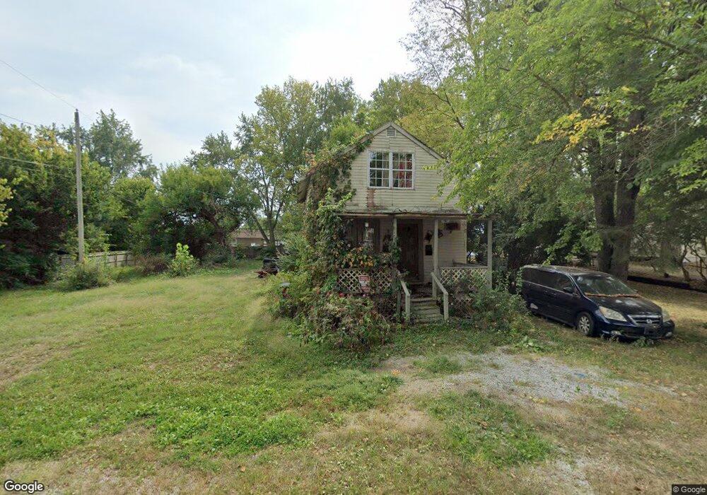
115 Kail Ave Columbus, OH 43207
Obetz-Lockbourne NeighborhoodEstimated Value: $129,692 - $190,000
2
Beds
1
Bath
938
Sq Ft
$168/Sq Ft
Est. Value
About This Home
This home is located at 115 Kail Ave, Columbus, OH 43207 and is currently estimated at $157,423, approximately $167 per square foot. 115 Kail Ave is a home located in Franklin County with nearby schools including Parsons Elementary School, Buckeye Middle School, and Marion-Franklin High School.
Ownership History
Date
Name
Owned For
Owner Type
Purchase Details
Closed on
Dec 30, 2020
Sold by
Coleman Brenda
Bought by
Coleman Dan E
Current Estimated Value
Purchase Details
Closed on
Jan 9, 2008
Sold by
Estate Of Vernon Harold Coleman
Bought by
Coleman Geraldine
Purchase Details
Closed on
May 11, 2004
Sold by
Coleman Brenda
Bought by
Coleman Geraldine and Coleman Vernon
Purchase Details
Closed on
Mar 5, 1986
Bought by
Coleman Brenda
Purchase Details
Closed on
Jan 1, 1986
Create a Home Valuation Report for This Property
The Home Valuation Report is an in-depth analysis detailing your home's value as well as a comparison with similar homes in the area
Home Values in the Area
Average Home Value in this Area
Purchase History
| Date | Buyer | Sale Price | Title Company |
|---|---|---|---|
| Coleman Dan E | $71,100 | Desanto Debra | |
| Coleman Geraldine | -- | None Available | |
| Coleman Geraldine | -- | -- | |
| Coleman Brenda | -- | -- | |
| -- | $8,500 | -- |
Source: Public Records
Tax History Compared to Growth
Tax History
| Year | Tax Paid | Tax Assessment Tax Assessment Total Assessment is a certain percentage of the fair market value that is determined by local assessors to be the total taxable value of land and additions on the property. | Land | Improvement |
|---|---|---|---|---|
| 2024 | $4,685 | $37,140 | $11,380 | $25,760 |
| 2023 | $1,876 | $37,135 | $11,375 | $25,760 |
| 2022 | $2,774 | $24,890 | $6,090 | $18,800 |
| 2021 | $1,293 | $24,890 | $6,090 | $18,800 |
| 2020 | $1,295 | $24,890 | $6,090 | $18,800 |
| 2019 | $1,327 | $21,880 | $5,290 | $16,590 |
| 2018 | $739 | $21,880 | $5,290 | $16,590 |
| 2017 | $1,327 | $21,880 | $5,290 | $16,590 |
| 2016 | $401 | $14,810 | $3,360 | $11,450 |
| 2015 | $154 | $11,310 | $3,360 | $7,950 |
| 2014 | $154 | $11,310 | $3,360 | $7,950 |
| 2013 | $94 | $11,900 | $3,535 | $8,365 |
Source: Public Records
Map
Nearby Homes
- 19 E Castle Rd
- 202 Calahan Rd
- 84 Betz Rd
- 300 Loxley Dr
- 2808 Dolby Dr
- 2763 Parsons Ave
- 82 Delray Rd
- 115 W Castle Rd
- 0 Parsons Ave
- 2901 Parsons Ave
- 162 Phelps Rd
- 2769 Shelly Dr
- 228 Currier Dr
- 3161 Lewis Rd
- 574 Koebel Ave
- 1633-1635 E Greenway Ave
- 256 Rumsey Rd Unit 258
- 611 Lock Ave
- 445 Basswood Rd
- 3380 Parsons Ave