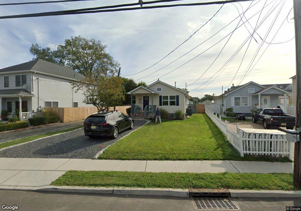
115 Long Branch Ave Long Branch, NJ 07740
Estimated Value: $581,571 - $646,000
4
Beds
2
Baths
1,380
Sq Ft
$438/Sq Ft
Est. Value
About This Home
This home is located at 115 Long Branch Ave, Long Branch, NJ 07740 and is currently estimated at $604,893, approximately $438 per square foot. 115 Long Branch Ave is a home located in Monmouth County with nearby schools including Long Branch High School and Holy Trinity School.
Ownership History
Date
Name
Owned For
Owner Type
Purchase Details
Closed on
May 20, 2005
Sold by
Lugene Jersey Enterprises
Bought by
Perry Scott and Bennett Patricia
Current Estimated Value
Home Financials for this Owner
Home Financials are based on the most recent Mortgage that was taken out on this home.
Original Mortgage
$260,000
Outstanding Balance
$135,479
Interest Rate
5.83%
Mortgage Type
Commercial
Estimated Equity
$469,414
Create a Home Valuation Report for This Property
The Home Valuation Report is an in-depth analysis detailing your home's value as well as a comparison with similar homes in the area
Home Values in the Area
Average Home Value in this Area
Purchase History
| Date | Buyer | Sale Price | Title Company |
|---|---|---|---|
| Perry Scott | $325,000 | -- |
Source: Public Records
Mortgage History
| Date | Status | Borrower | Loan Amount |
|---|---|---|---|
| Open | Perry Scott | $260,000 |
Source: Public Records
Tax History Compared to Growth
Tax History
| Year | Tax Paid | Tax Assessment Tax Assessment Total Assessment is a certain percentage of the fair market value that is determined by local assessors to be the total taxable value of land and additions on the property. | Land | Improvement |
|---|---|---|---|---|
| 2025 | $6,594 | $489,500 | $263,900 | $225,600 |
| 2024 | $6,701 | $429,000 | $223,400 | $205,600 |
| 2023 | $6,701 | $431,500 | $214,400 | $217,100 |
| 2022 | $5,267 | $387,700 | $196,400 | $191,300 |
| 2021 | $5,267 | $285,400 | $123,700 | $161,700 |
| 2020 | $5,530 | $264,600 | $103,900 | $160,700 |
| 2019 | $5,253 | $249,900 | $96,700 | $153,200 |
| 2018 | $4,936 | $233,500 | $85,900 | $147,600 |
| 2017 | $4,606 | $223,500 | $78,700 | $144,800 |
| 2016 | $4,442 | $219,800 | $78,700 | $141,100 |
| 2015 | $3,873 | $173,900 | $60,100 | $113,800 |
| 2014 | $3,628 | $171,700 | $70,700 | $101,000 |
Source: Public Records
Map
Nearby Homes
- 18 Seaview Ave
- 40 Seaview Ave Unit A
- 56 Seaview Ave
- 78 Ocean Terrace
- 33 Cooper Ave Unit 213
- 33 Cooper Ave Unit 410
- 200 Ocean Ave N Unit 13
- 200 Ocean Ave N Unit 19
- 22 Cooper Ave Unit 113
- 22 Cooper Ave Unit 309
- 22 Cooper Ave Unit 110
- 129 Joline Ave
- 231 Long Branch Ave
- 179 Joline Ave
- 422 Ocean Blvd N Unit 5H
- 138 Rosewood Ave
- 40 University Dr
- 432 Ocean Blvd Unit 208
- 172 Chelton Ave
- 188 Chelton Ave
- 111 Long Branch Ave
- 133 Long Branch Ave
- 135 Long Branch Ave
- 109 Long Branch Ave
- 134 Seaview Ave
- 130 Seaview Ave
- 143 Long Branch Ave
- 152 Witmer Place
- 132 Seaview Ave
- 107 Long Branch Ave
- 128 Seaview Ave
- 138 Seaview Ave
- 136 Seaview Ave
- 150 Witmer Place
- 126 Seaview Ave
- 148 Witmer Place
- 101 Long Branch Ave
- 124 Seaview Ave
- 154 Witmer Place
- 156 Witmer Place