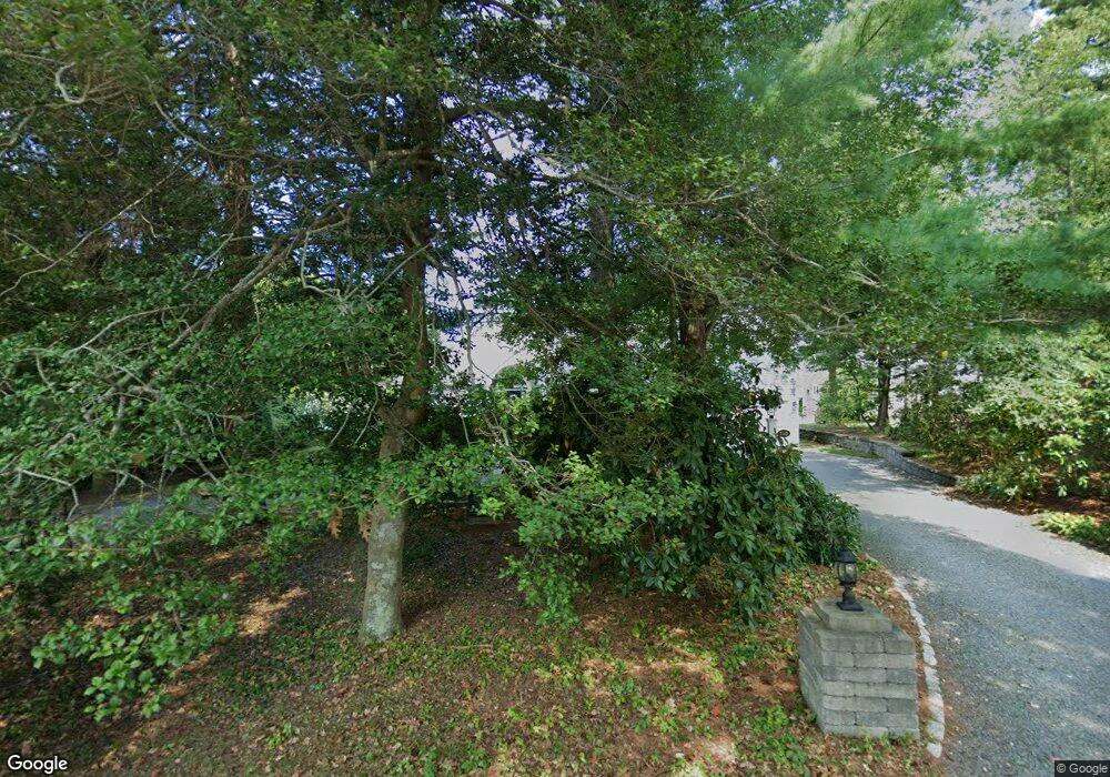
115 Loomis Ln Centerville, MA 02632
Centerville NeighborhoodEstimated Value: $1,919,000 - $3,189,000
4
Beds
4
Baths
2,373
Sq Ft
$1,009/Sq Ft
Est. Value
About This Home
This home is located at 115 Loomis Ln, Centerville, MA 02632 and is currently estimated at $2,393,194, approximately $1,008 per square foot. 115 Loomis Ln is a home located in Barnstable County with nearby schools including Centerville Elementary School, Barnstable United Elementary School, and Barnstable Intermediate School.
Ownership History
Date
Name
Owned For
Owner Type
Purchase Details
Closed on
Mar 29, 2017
Sold by
Latimer Jeffrey G and Latimer Dania H
Bought by
Latimer Ft
Current Estimated Value
Purchase Details
Closed on
Jun 15, 2010
Sold by
9 Mile Pond Rt
Bought by
Latimer Jeffrey G
Home Financials for this Owner
Home Financials are based on the most recent Mortgage that was taken out on this home.
Original Mortgage
$405,000
Interest Rate
5.11%
Mortgage Type
Purchase Money Mortgage
Purchase Details
Closed on
Sep 16, 2008
Sold by
Salters Lawrence J
Bought by
9 Mile Pond Rt
Purchase Details
Closed on
May 20, 1998
Sold by
Haggerty Francis G and Haggerty Natalie M
Bought by
Salters Lawrence J
Create a Home Valuation Report for This Property
The Home Valuation Report is an in-depth analysis detailing your home's value as well as a comparison with similar homes in the area
Home Values in the Area
Average Home Value in this Area
Purchase History
| Date | Buyer | Sale Price | Title Company |
|---|---|---|---|
| Latimer Ft | -- | -- | |
| Latimer Jeffrey G | $1,250,000 | -- | |
| 9 Mile Pond Rt | -- | -- | |
| Salters Lawrence J | $265,000 | -- |
Source: Public Records
Mortgage History
| Date | Status | Borrower | Loan Amount |
|---|---|---|---|
| Previous Owner | Latimer Jeffrey G | $405,000 | |
| Previous Owner | Salters Lawrence J | $375,000 | |
| Previous Owner | Salters Lawrence J | $53,000 | |
| Previous Owner | Salters Lawrence J | $53,000 |
Source: Public Records
Tax History
| Year | Tax Paid | Tax Assessment Tax Assessment Total Assessment is a certain percentage of the fair market value that is determined by local assessors to be the total taxable value of land and additions on the property. | Land | Improvement |
|---|---|---|---|---|
| 2025 | $15,699 | $1,940,500 | $977,700 | $962,800 |
| 2024 | $14,285 | $1,829,100 | $977,700 | $851,400 |
| 2023 | $13,658 | $1,637,600 | $874,700 | $762,900 |
| 2022 | $10,598 | $1,099,400 | $459,800 | $639,600 |
| 2021 | $10,500 | $1,001,000 | $459,800 | $541,200 |
| 2020 | $10,918 | $996,200 | $459,800 | $536,400 |
| 2019 | $10,366 | $919,000 | $438,900 | $480,100 |
| 2018 | $2,575 | $895,400 | $484,000 | $411,400 |
| 2017 | $2,492 | $874,600 | $484,000 | $390,600 |
| 2016 | $9,581 | $879,000 | $488,400 | $390,600 |
| 2015 | $9,153 | $843,600 | $476,700 | $366,900 |
Source: Public Records
Map
Nearby Homes
- 140 Wequaquet Ln
- 10 Sail -A-way
- 481 Lakeside Dr W
- 10 Sail a Way
- 83 Lake Dr
- 357 Lakeside Dr W
- 21 Brian Ln
- 576 Strawberry Hill Rd
- 40 Sachem Dr
- 180 Pond View Dr
- 19 Marrick Ct
- 423 Lincoln Road Extension
- 75 Olander Dr
- 75 Olander Dr
- 82 Yacht Club Rd
- 522 Lincoln Road Extension
- 290 Riverview Ln
- 5 Chickadee Ln
- 720 Pitchers Way Unit 52
- 720 Pitchers Way Unit 40
Your Personal Tour Guide
Ask me questions while you tour the home.