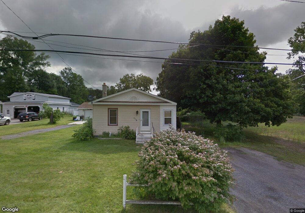
115 Maple Rd Michigan Center, MI 49254
Estimated Value: $183,000 - $195,000
2
Beds
1
Bath
1,128
Sq Ft
$169/Sq Ft
Est. Value
About This Home
This home is located at 115 Maple Rd, Michigan Center, MI 49254 and is currently estimated at $190,674, approximately $169 per square foot. 115 Maple Rd is a home located in Jackson County with nearby schools including Keicher Elementary School, Arnold Elementary School, and Michigan Center Junior/Senior High School.
Ownership History
Date
Name
Owned For
Owner Type
Purchase Details
Closed on
Nov 24, 1997
Sold by
Taylor Kimberly and Taylor Nelson
Bought by
Taylor Nelson and Taylor Kimberly
Current Estimated Value
Purchase Details
Closed on
Nov 8, 1996
Sold by
Emmons Marcia J
Bought by
Taylor Kimberly
Purchase Details
Closed on
Sep 24, 1996
Bought by
Emmons Marcia J
Purchase Details
Closed on
Sep 20, 1996
Sold by
Comptin Clifford G
Bought by
Emmons Marcia J
Purchase Details
Closed on
Apr 1, 1994
Bought by
Taylor
Create a Home Valuation Report for This Property
The Home Valuation Report is an in-depth analysis detailing your home's value as well as a comparison with similar homes in the area
Home Values in the Area
Average Home Value in this Area
Purchase History
| Date | Buyer | Sale Price | Title Company |
|---|---|---|---|
| Taylor Nelson | -- | -- | |
| Taylor Kimberly | $37,000 | -- | |
| Emmons Marcia J | $19,000 | -- | |
| Emmons Marcia J | -- | -- | |
| Taylor | -- | -- |
Source: Public Records
Tax History Compared to Growth
Tax History
| Year | Tax Paid | Tax Assessment Tax Assessment Total Assessment is a certain percentage of the fair market value that is determined by local assessors to be the total taxable value of land and additions on the property. | Land | Improvement |
|---|---|---|---|---|
| 2025 | $1,535 | $99,493 | $0 | $0 |
| 2024 | $912 | $94,119 | $0 | $0 |
| 2023 | $869 | $87,940 | $0 | $0 |
| 2022 | $1,896 | $71,367 | $0 | $0 |
| 2021 | $1,494 | $63,104 | $0 | $0 |
| 2020 | $1,454 | $57,760 | $0 | $0 |
| 2019 | $1,657 | $51,034 | $0 | $0 |
| 2018 | $1,745 | $51,957 | $16,020 | $35,937 |
| 2017 | $1,667 | $52,984 | $0 | $0 |
| 2016 | $739 | $51,536 | $51,536 | $0 |
| 2015 | -- | $40,310 | $40,310 | $0 |
| 2014 | -- | $41,946 | $0 | $0 |
| 2013 | -- | $41,946 | $41,946 | $0 |
Source: Public Records
Map
Nearby Homes
- 241 Stillwell Ave
- 240 Stillwell Ave
- VL Stillwell Ave
- 423 Grand St
- 448 Grand St
- 149 Hall St
- 413 7th St
- 0 Ninth St Unit 50176647
- 531 8th St
- 0 Page Ave Unit 23140008
- 114 W Grove Ave
- 210 W Grove Ave
- VL S Sutton Rd
- 0 Huggins Unit 25000799
- 5030 Huggins Rd
- 4075 Flansburg Rd
- 3628 Ford Ave
- 4434 Allison Dr
- 430 Jefferson Dr
- 0 S Sutton Rd