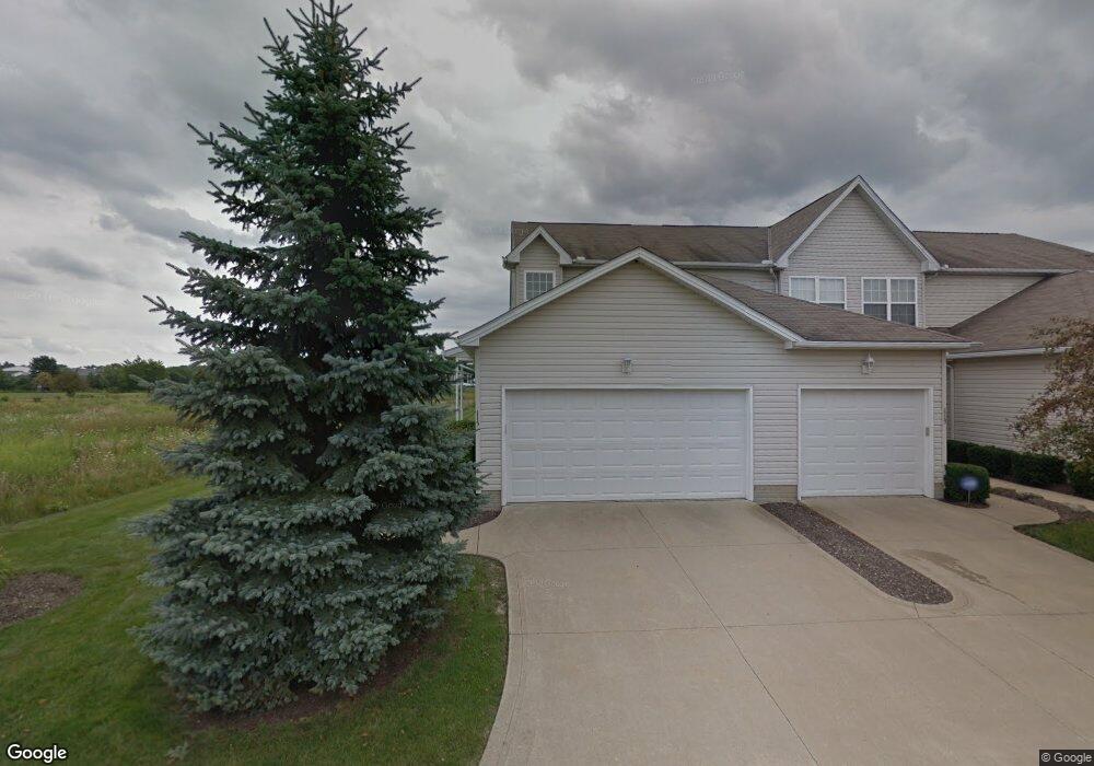
115 Meander Ln Unit 12 Elyria, OH 44035
Estimated Value: $137,000 - $166,000
2
Beds
3
Baths
1,034
Sq Ft
$148/Sq Ft
Est. Value
About This Home
This home is located at 115 Meander Ln Unit 12, Elyria, OH 44035 and is currently estimated at $153,461, approximately $148 per square foot. 115 Meander Ln Unit 12 is a home located in Lorain County with nearby schools including Crestwood Elementary School, Westwood Middle School, and Elyria High School.
Ownership History
Date
Name
Owned For
Owner Type
Purchase Details
Closed on
May 6, 2008
Sold by
Federal Home Loan Mortgage Corporation
Bought by
Hapney Terry W
Current Estimated Value
Home Financials for this Owner
Home Financials are based on the most recent Mortgage that was taken out on this home.
Original Mortgage
$82,741
Outstanding Balance
$52,536
Interest Rate
5.93%
Mortgage Type
VA
Estimated Equity
$100,925
Purchase Details
Closed on
Dec 3, 2007
Sold by
Cintron Daniel and Cintron Annalyn
Bought by
Federal Home Loan Mortgage Corporation
Purchase Details
Closed on
Jun 7, 2002
Sold by
Sweet Briar Homes Inc
Bought by
Cintron Daniel and Cintron Annalyn
Home Financials for this Owner
Home Financials are based on the most recent Mortgage that was taken out on this home.
Original Mortgage
$111,000
Interest Rate
6.37%
Create a Home Valuation Report for This Property
The Home Valuation Report is an in-depth analysis detailing your home's value as well as a comparison with similar homes in the area
Home Values in the Area
Average Home Value in this Area
Purchase History
| Date | Buyer | Sale Price | Title Company |
|---|---|---|---|
| Hapney Terry W | -- | Attorney | |
| Federal Home Loan Mortgage Corporation | $66,000 | Attorney | |
| Cintron Daniel | $111,150 | -- |
Source: Public Records
Mortgage History
| Date | Status | Borrower | Loan Amount |
|---|---|---|---|
| Open | Hapney Terry W | $82,741 | |
| Previous Owner | Cintron Daniel | $111,000 |
Source: Public Records
Tax History
| Year | Tax Paid | Tax Assessment Tax Assessment Total Assessment is a certain percentage of the fair market value that is determined by local assessors to be the total taxable value of land and additions on the property. | Land | Improvement |
|---|---|---|---|---|
| 2024 | $1,992 | $41,045 | $6,125 | $34,920 |
| 2023 | $1,526 | $27,304 | $4,424 | $22,880 |
| 2022 | $1,521 | $27,304 | $4,424 | $22,880 |
| 2021 | $1,525 | $27,304 | $4,424 | $22,880 |
| 2020 | $1,465 | $23,340 | $3,780 | $19,560 |
| 2019 | $1,456 | $23,340 | $3,780 | $19,560 |
| 2018 | $1,923 | $23,340 | $3,780 | $19,560 |
| 2017 | $2,387 | $36,620 | $6,300 | $30,320 |
| 2016 | $2,355 | $36,620 | $6,300 | $30,320 |
| 2015 | $2,212 | $36,620 | $6,300 | $30,320 |
| 2014 | $2,194 | $36,620 | $6,300 | $30,320 |
| 2013 | $2,165 | $36,620 | $6,300 | $30,320 |
Source: Public Records
Map
Nearby Homes
- 155 Cedar Brook Dr
- 0 W Ridge Rd Unit 5109009
- 230 Cedar Brook Dr
- 235 Chaucer Ct
- 378 Pin Oak Cir
- 337 Pin Oak Cir
- 132 Mount Vernon Ct
- 426 Pin Oak Cir
- 238 Silver Spring Cir
- 101 W Spring Dr
- 215 Silver Spring Cir
- 130 W Spring Dr
- 7668 Murray Ridge Rd
- 129 W Spring Dr
- 208 Birchbark Dr
- 141 W Spring Dr
- 2218 Fowl Rd
- 275 Ashwood Dr
- 310 Ridgewater Dr
- 308 Ashwood Dr
- 115 Meander Ln Unit End u
- 113 Meander Ln
- 111 Meander Ln Unit 10
- 109 Meander Ln Unit 9
- 114 Meander Ln
- 107 Meander Ln Unit 8B
- 112 Meander Ln Unit 14
- 105 Meander Ln Unit 7B
- 181 Meander Ln
- 110 Meander Ln Unit 15
- 183 Meander Ln
- 185 Meander Ln
- 103 Meander Ln
- 187 Meander Ln
- 108 Meander Ln Unit 16
- 101 Meander Ln
- 100 Meander Ln Unit 4A
- 191 Meander Ln
- 102 Meander Ln Unit 3A
- 193 Meander Ln
Your Personal Tour Guide
Ask me questions while you tour the home.