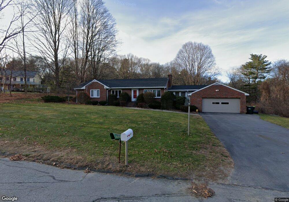
115 Mill St Unit 1 Lincoln, MA 01773
Estimated Value: $1,085,000 - $1,236,000
2
Beds
3
Baths
1,591
Sq Ft
$715/Sq Ft
Est. Value
About This Home
This home is located at 115 Mill St Unit 1, Lincoln, MA 01773 and is currently estimated at $1,137,500, approximately $714 per square foot. 115 Mill St Unit 1 is a home located in Middlesex County with nearby schools including Lincoln-Sudbury Regional High School and Tremont School.
Ownership History
Date
Name
Owned For
Owner Type
Purchase Details
Closed on
Aug 14, 2024
Sold by
Fong Peggy
Bought by
Peggy S Fong S and Peggy Fong
Current Estimated Value
Purchase Details
Closed on
Jul 6, 2020
Sold by
Hingston Gloria M
Bought by
Fong Peggy
Purchase Details
Closed on
Sep 11, 2012
Sold by
Hingston Ft and Hingston Wayne
Bought by
Hingston Joseph A and Hingston Gloria M
Purchase Details
Closed on
Feb 12, 2008
Sold by
Hingston Gloria M and Hingston Joseph A
Bought by
Hingston Ft and Hingston Wayne
Create a Home Valuation Report for This Property
The Home Valuation Report is an in-depth analysis detailing your home's value as well as a comparison with similar homes in the area
Home Values in the Area
Average Home Value in this Area
Purchase History
| Date | Buyer | Sale Price | Title Company |
|---|---|---|---|
| Peggy S Fong S | -- | None Available | |
| Peggy S Fong S | -- | None Available | |
| Fong Peggy | $784,000 | None Available | |
| Hingston Joseph A | -- | -- | |
| Hingston Ft | -- | -- | |
| Hingston Joseph A | -- | -- | |
| Hingston Ft | -- | -- |
Source: Public Records
Tax History Compared to Growth
Tax History
| Year | Tax Paid | Tax Assessment Tax Assessment Total Assessment is a certain percentage of the fair market value that is determined by local assessors to be the total taxable value of land and additions on the property. | Land | Improvement |
|---|---|---|---|---|
| 2025 | $121 | $945,600 | $662,900 | $282,700 |
| 2024 | $11,935 | $925,900 | $649,900 | $276,000 |
| 2023 | $11,870 | $852,700 | $598,600 | $254,100 |
| 2022 | $11,445 | $766,600 | $541,200 | $225,400 |
| 2021 | $10,718 | $690,600 | $478,900 | $211,700 |
| 2020 | $10,580 | $688,800 | $478,900 | $209,900 |
| 2019 | $9,205 | $656,100 | $463,900 | $192,200 |
| 2018 | $8,923 | $656,100 | $463,900 | $192,200 |
| 2017 | $8,608 | $628,300 | $437,900 | $190,400 |
| 2016 | $8,584 | $613,600 | $424,900 | $188,700 |
| 2015 | $8,186 | $578,500 | $393,400 | $185,100 |
| 2014 | $7,624 | $529,100 | $352,300 | $176,800 |
Source: Public Records
Map
Nearby Homes
- 10 Reiling Pond Rd
- 84 Davison Dr
- 69 Page Rd
- 671 Marrett Rd
- 5 Leroy Rd
- 50 School St
- 2663 Massachusetts Ave
- 19 Deering Ave
- 24 Deering Ave
- 8 Stratford Way
- 6 Revolutionary Rd
- 2520 Massachusetts Ave
- 28 Goldencrest Ave
- 7 Carmel Cir
- 30 Harbell St
- 2380 Massachusetts Ave
- 18 Greenwood St
- 46 Asbury St
- 21 Balfour St
- 375 Marrett Rd
- 115 Mill St
- 115 Mill St
- 154 Lexington Rd N
- 161 Lexington Rd N
- 165 Lexington Rd N
- 152 Lexington Rd N
- 296 Cambridge Turnpike
- 296 Cambridge Turnpike Unit B
- 167 Lexington Rd N
- 298 Cambridge Turnpike
- 0 Lexington Rd
- 169-171 Lexington Rd (North)
- 153 Lexington Rd N
- 153 Lexington Rd N Unit A
- 153 Lexington Rd N Unit 1
- 153 Lexington Rd N Unit 153
- 5 Reiling Pond Rd
- 300 Cambridge Turnpike
- 94 Mill St
- 171 Lexington Rd N