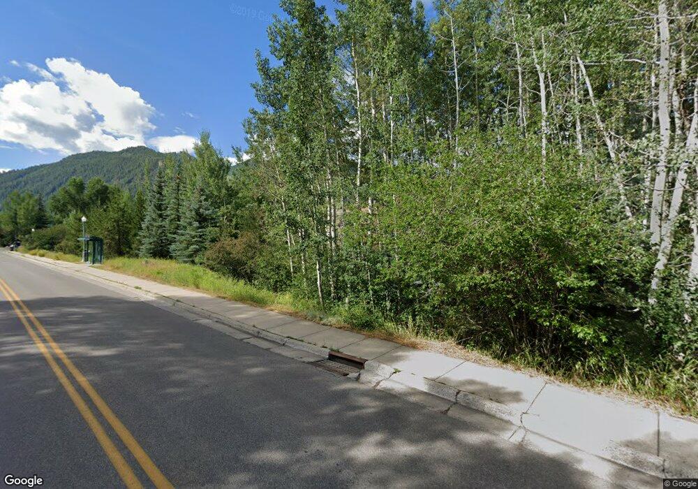
Estimated Value: $5,733,000 - $17,789,129
5
Beds
7
Baths
6,446
Sq Ft
$1,825/Sq Ft
Est. Value
About This Home
This home is located at 115 Miners Trail Rd, Aspen, CO 81611 and is currently estimated at $11,761,065, approximately $1,824 per square foot. 115 Miners Trail Rd is a home located in Pitkin County with nearby schools including Aspen Elementary School, Aspen Middle School, and Aspen High School.
Ownership History
Date
Name
Owned For
Owner Type
Purchase Details
Closed on
Nov 9, 2006
Sold by
Aspen Oasis Llc
Bought by
Miners Mountain House Llc
Current Estimated Value
Purchase Details
Closed on
Nov 3, 2005
Sold by
Lester David W and Duldner Kurt P
Bought by
Aspen Oasis Llc
Home Financials for this Owner
Home Financials are based on the most recent Mortgage that was taken out on this home.
Original Mortgage
$3,380,000
Interest Rate
6%
Mortgage Type
Fannie Mae Freddie Mac
Create a Home Valuation Report for This Property
The Home Valuation Report is an in-depth analysis detailing your home's value as well as a comparison with similar homes in the area
Home Values in the Area
Average Home Value in this Area
Purchase History
| Date | Buyer | Sale Price | Title Company |
|---|---|---|---|
| Miners Mountain House Llc | $8,150,000 | None Available | |
| Aspen Oasis Llc | -- | -- | |
| Lester David | -- | -- |
Source: Public Records
Mortgage History
| Date | Status | Borrower | Loan Amount |
|---|---|---|---|
| Previous Owner | Lester David | $3,380,000 |
Source: Public Records
Tax History Compared to Growth
Tax History
| Year | Tax Paid | Tax Assessment Tax Assessment Total Assessment is a certain percentage of the fair market value that is determined by local assessors to be the total taxable value of land and additions on the property. | Land | Improvement |
|---|---|---|---|---|
| 2024 | $51,888 | $1,578,340 | $421,120 | $1,157,220 |
| 2023 | $51,888 | $1,596,350 | $425,920 | $1,170,430 |
| 2022 | $36,701 | $1,001,060 | $354,450 | $646,610 |
| 2021 | $35,368 | $996,770 | $364,650 | $632,120 |
| 2020 | $27,461 | $768,630 | $357,500 | $411,130 |
| 2019 | $27,461 | $768,630 | $357,500 | $411,130 |
| 2018 | $23,827 | $830,400 | $360,000 | $470,400 |
| 2017 | $21,024 | $661,000 | $316,800 | $344,200 |
| 2016 | $19,161 | $590,070 | $350,240 | $239,830 |
| 2015 | $18,914 | $590,070 | $350,240 | $239,830 |
| 2014 | $16,981 | $506,260 | $350,240 | $156,020 |
Source: Public Records
Map
Nearby Homes
- 950 Vine St Unit 950
- 155 Lone Pine Rd Unit 2
- 566 Race St
- 416 Vine St Unit 416
- 332 Vine St Unit 332
- 534 Spruce St
- 536 Spruce St
- 306 Oak Ln
- 501 Rio Grande Place Unit 204
- 117 Neale Ave
- 0 Pitkin County Tdr Unit 185846
- 140 Maple Ln Unit 140
- 725 E Main St Unit 205
- City Tdr
- 800 E Hopkins Ave Unit A1
- 800 E Hopkins Ave Unit A3
- 415 Park Cir Unit 5
- 979 Queen St
- 515 Park Cir
- 250 S Original St Unit B
- 115 Miner's Trail Rd
- 125 Miners Trail Rd
- 552 Walnut St Unit Lot A
- 552 Walnut St
- 202 Lone Pine Rd Unit 1
- 135 Miners Trail Rd
- 947 Vine St Unit 947
- 946 Vine St Unit 946
- 948 Vine St Unit 948
- 930 Vine St Unit 930
- 945 Vine St Unit 945
- 543/549 Walnut St
- 949 Vine St Unit 949
- 931 Vine St Unit 931
- 929 Vine St Unit 929
- 655 Gibson Ave Unit A
- 944 Vine St Unit 944
- 546 Walnut St Unit Lot B
- 546 Walnut St
- 951 Vine St Unit 951
