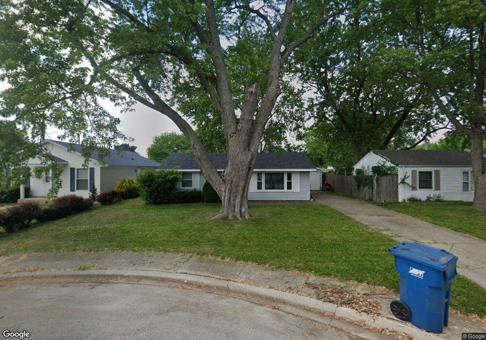
115 N Levasseur Ave Bourbonnais, IL 60914
Estimated Value: $89,000 - $150,000
2
Beds
1
Bath
750
Sq Ft
$168/Sq Ft
Est. Value
About This Home
This home is located at 115 N Levasseur Ave, Bourbonnais, IL 60914 and is currently estimated at $126,273, approximately $168 per square foot. 115 N Levasseur Ave is a home located in Kankakee County with nearby schools including Shabbona Elementary School, Liberty Intermediate School, and Bourbonnais Upper Grade Center.
Ownership History
Date
Name
Owned For
Owner Type
Purchase Details
Closed on
Mar 8, 2005
Sold by
Komrska Roger R Trust
Bought by
Wollenberg Dennis J
Current Estimated Value
Home Financials for this Owner
Home Financials are based on the most recent Mortgage that was taken out on this home.
Original Mortgage
$72,014
Outstanding Balance
$37,088
Interest Rate
5.85%
Mortgage Type
FHA
Estimated Equity
$89,185
Create a Home Valuation Report for This Property
The Home Valuation Report is an in-depth analysis detailing your home's value as well as a comparison with similar homes in the area
Home Values in the Area
Average Home Value in this Area
Purchase History
| Date | Buyer | Sale Price | Title Company |
|---|---|---|---|
| Wollenberg Dennis J | $73,000 | Homestar Title |
Source: Public Records
Mortgage History
| Date | Status | Borrower | Loan Amount |
|---|---|---|---|
| Open | Wollenberg Dennis J | $72,014 |
Source: Public Records
Tax History Compared to Growth
Tax History
| Year | Tax Paid | Tax Assessment Tax Assessment Total Assessment is a certain percentage of the fair market value that is determined by local assessors to be the total taxable value of land and additions on the property. | Land | Improvement |
|---|---|---|---|---|
| 2024 | $2,465 | $35,665 | $6,562 | $29,103 |
| 2023 | $2,232 | $33,023 | $6,076 | $26,947 |
| 2022 | $1,922 | $28,332 | $5,856 | $22,476 |
| 2021 | $1,807 | $26,863 | $5,727 | $21,136 |
| 2020 | $1,742 | $25,714 | $5,574 | $20,140 |
| 2019 | $1,659 | $24,582 | $5,412 | $19,170 |
| 2018 | $1,548 | $23,285 | $5,332 | $17,953 |
| 2017 | $1,508 | $22,717 | $5,202 | $17,515 |
| 2016 | $1,275 | $20,158 | $5,125 | $15,033 |
| 2015 | $1,273 | $19,958 | $5,074 | $14,884 |
| 2014 | $1,723 | $25,682 | $5,074 | $20,608 |
| 2013 | -- | $24,373 | $5,074 | $19,299 |
Source: Public Records
Map
Nearby Homes
- 279 W Country Ct
- 899 Armour Rd
- 213 Bernard St
- 404 E Grand Dr
- 235 E John Casey Rd
- 475 S Cryer Ave
- 482 S Rivard St
- 271 Toni St
- 261 Mohawk Dr
- 590 Jonette Ave
- 0 Broadway St E Unit MRD12509049
- 635 Independence Dr
- 372 N Center Ave
- 118 Meadows Ct
- 419 N Wabash Ave
- Lot 5/5A Almar Pkwy
- 384 N Grand Ave
- 273 Harvard Ave
- 717 Independence Dr
- 725 Independence Dr
- 135 N Levasseur Ave
- 113 N Levasseur Ave
- 128 Belle Aire Ave
- 151 N Levasseur Ave
- 152 Belle Aire Ave
- 126 N Levasseur Ave
- 165 N Levasseur Ave
- 112 N Levasseur Ave
- 176 Belle Aire Ave
- 144 N Levasseur Ave
- 160 N Levasseur Ave
- 188 Belle Aire Ave
- 129 Belle Aire Ave
- 141 Belle Aire Ave
- 117 Belle Aire Ave
- 153 Belle Aire Ave
- 172 N Levasseur Ave
- 165 Belle Aire Ave
- 105 Belle Aire Ave