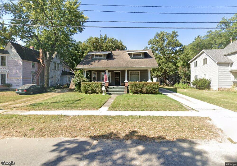
115 N Liberty St Lowell, IN 46356
Cedar Creek NeighborhoodEstimated Value: $248,000 - $307,000
4
Beds
2
Baths
1,200
Sq Ft
$237/Sq Ft
Est. Value
About This Home
This home is located at 115 N Liberty St, Lowell, IN 46356 and is currently estimated at $284,033, approximately $236 per square foot. 115 N Liberty St is a home located in Lake County with nearby schools including Lowell Middle School and Lowell Senior High School.
Ownership History
Date
Name
Owned For
Owner Type
Purchase Details
Closed on
May 8, 2009
Sold by
Linge John D
Bought by
Anderson Benjamin D
Current Estimated Value
Home Financials for this Owner
Home Financials are based on the most recent Mortgage that was taken out on this home.
Original Mortgage
$145,319
Outstanding Balance
$91,717
Interest Rate
4.83%
Mortgage Type
FHA
Estimated Equity
$192,316
Create a Home Valuation Report for This Property
The Home Valuation Report is an in-depth analysis detailing your home's value as well as a comparison with similar homes in the area
Home Values in the Area
Average Home Value in this Area
Purchase History
| Date | Buyer | Sale Price | Title Company |
|---|---|---|---|
| Anderson Benjamin D | -- | Northwest Indiana Title |
Source: Public Records
Mortgage History
| Date | Status | Borrower | Loan Amount |
|---|---|---|---|
| Open | Anderson Benjamin D | $145,319 |
Source: Public Records
Tax History Compared to Growth
Tax History
| Year | Tax Paid | Tax Assessment Tax Assessment Total Assessment is a certain percentage of the fair market value that is determined by local assessors to be the total taxable value of land and additions on the property. | Land | Improvement |
|---|---|---|---|---|
| 2024 | $5,797 | $234,800 | $25,600 | $209,200 |
| 2023 | $2,129 | $218,700 | $25,600 | $193,100 |
| 2022 | $2,129 | $203,900 | $25,600 | $178,300 |
| 2021 | $2,382 | $194,900 | $20,900 | $174,000 |
| 2020 | $2,255 | $189,200 | $20,900 | $168,300 |
| 2019 | $2,274 | $181,300 | $20,900 | $160,400 |
| 2018 | $2,278 | $173,400 | $20,900 | $152,500 |
| 2017 | $2,291 | $162,900 | $14,100 | $148,800 |
| 2016 | $2,065 | $158,600 | $14,100 | $144,500 |
| 2014 | $1,811 | $145,700 | $14,300 | $131,400 |
| 2013 | $1,446 | $139,000 | $14,300 | $124,700 |
Source: Public Records
Map
Nearby Homes
- 124 N Liberty St
- 236 W Commercial Ave
- 285 W Commercial Ave
- 288 W Commercial Ave
- 115 N Nichols St
- 128 Halsted St
- 17433-Approx Grant St
- 427 E Commercial Ave
- 420 E Main St
- 609 Shawnee Dr
- 409 Greenbrier Ln
- 621 Meadow Brook Dr
- 521 Cottage Grove St
- 487 Timber Lake Dr
- 532 Timberwood Ln
- 18405 Cline St
- 5089 Stephen Ln
- 5071 Stephen Ln
- 5062 Stephen Ln
- 5057 Stephen Ln
- 119 N Liberty St
- 204 W Commercial Ave
- 220 W Commercial Ave
- 127 N Liberty St
- 226 W Commercial Ave
- 110 N Liberty St
- 133 N Liberty St
- 230 W Commercial Ave
- 120 N Liberty St
- 137 N Liberty St
- 209 W Commercial Ave
- 201 W Commercial Ave
- 132 N Liberty St
- 141 N Liberty St
- 221 W Commercial Ave
- 140 N Liberty St
- 181 W Commercial Ave
- 225 W Commercial Ave
- 180 W Commercial Ave
- 149 N Liberty St