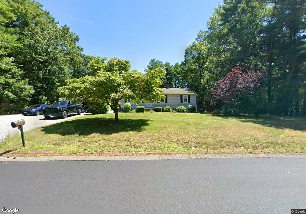
115 Oak St Pembroke, MA 02359
Estimated Value: $545,000 - $641,000
3
Beds
1
Bath
960
Sq Ft
$611/Sq Ft
Est. Value
About This Home
This home is located at 115 Oak St, Pembroke, MA 02359 and is currently estimated at $586,252, approximately $610 per square foot. 115 Oak St is a home located in Plymouth County with nearby schools including Pembroke High School, Cadence Academy Preschool - Hanover, and Cardinal Cushing Centers.
Ownership History
Date
Name
Owned For
Owner Type
Purchase Details
Closed on
Jun 3, 2002
Sold by
Mclaughlin Keith and Mclaughlin Kimberly D
Bought by
Buchanan Scott W and Macneil Tracy A
Current Estimated Value
Purchase Details
Closed on
Jun 26, 1998
Sold by
Mckenna Michael and Mckenna Lori A
Bought by
Mclaughlin Keith J and Gervais Kimberly D
Purchase Details
Closed on
May 26, 1995
Sold by
Rich John H
Bought by
Mckenna Michael and Siltanen Lori A
Purchase Details
Closed on
Jul 3, 1991
Sold by
Toscano Vincent A and Toscano Lucy
Bought by
Rich John H
Create a Home Valuation Report for This Property
The Home Valuation Report is an in-depth analysis detailing your home's value as well as a comparison with similar homes in the area
Home Values in the Area
Average Home Value in this Area
Purchase History
| Date | Buyer | Sale Price | Title Company |
|---|---|---|---|
| Buchanan Scott W | $264,900 | -- | |
| Mclaughlin Keith J | $165,000 | -- | |
| Mckenna Michael | $139,000 | -- | |
| Rich John H | $125,000 | -- |
Source: Public Records
Mortgage History
| Date | Status | Borrower | Loan Amount |
|---|---|---|---|
| Open | Rich John H | $57,500 | |
| Closed | Rich John H | $50,000 | |
| Open | Rich John H | $249,000 |
Source: Public Records
Tax History
| Year | Tax Paid | Tax Assessment Tax Assessment Total Assessment is a certain percentage of the fair market value that is determined by local assessors to be the total taxable value of land and additions on the property. | Land | Improvement |
|---|---|---|---|---|
| 2025 | $6,348 | $528,100 | $305,200 | $222,900 |
| 2024 | $6,266 | $520,900 | $300,000 | $220,900 |
| 2023 | $6,258 | $492,000 | $285,200 | $206,800 |
| 2022 | $5,827 | $411,800 | $235,200 | $176,600 |
| 2021 | $5,405 | $370,700 | $220,000 | $150,700 |
| 2020 | $5,253 | $362,500 | $215,200 | $147,300 |
| 2019 | $5,056 | $346,300 | $210,000 | $136,300 |
| 2018 | $5,031 | $337,900 | $210,000 | $127,900 |
| 2017 | $4,879 | $323,100 | $195,200 | $127,900 |
| 2016 | $4,676 | $306,400 | $180,000 | $126,400 |
| 2015 | $3,891 | $264,000 | $170,000 | $94,000 |
Source: Public Records
Map
Nearby Homes
- 8 Quaker Cir
- 7 Spring St
- 5 Royal Dane Dr Unit 45
- 10 Royal Dane Dr Unit 85
- 451 School St Unit 5-2
- 848 Plain St Unit 41
- 848 Plain St Unit 23
- 58 Bagnell Dr Unit 58
- 387 North St
- 261 Washington St
- 33 Barker Square Dr Unit 33
- 172 Washington St
- 6 Hillside Ln
- 2 Proprietors Dr Unit 25
- 2 Proprietors Dr Unit 26
- 2 Proprietors Dr Unit 27
- 3 Red Pony Path Unit 3
- 167 Planting Field Rd
- 75 Masthead Dr
- 695 Keene St
Your Personal Tour Guide
Ask me questions while you tour the home.