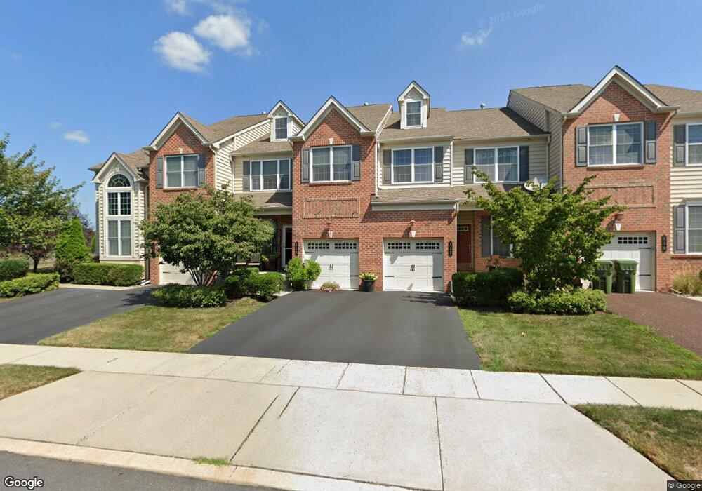
115 Old Allentown Rd Unit LOT 2 Lansdale, PA 19446
Estimated Value: $512,000 - $567,000
3
Beds
3
Baths
2,260
Sq Ft
$239/Sq Ft
Est. Value
About This Home
This home is located at 115 Old Allentown Rd Unit LOT 2, Lansdale, PA 19446 and is currently estimated at $539,073, approximately $238 per square foot. 115 Old Allentown Rd Unit LOT 2 is a home located in Montgomery County with nearby schools including Gwynedd Square Elementary School, Penndale Middle School, and North Penn Senior High School.
Ownership History
Date
Name
Owned For
Owner Type
Purchase Details
Closed on
May 29, 2008
Sold by
Atlantis Properties Development Corp
Bought by
Nagappan Family Trust and Ramiah Muthumanickam
Current Estimated Value
Home Financials for this Owner
Home Financials are based on the most recent Mortgage that was taken out on this home.
Original Mortgage
$215,000
Outstanding Balance
$138,528
Interest Rate
6.13%
Estimated Equity
$400,545
Create a Home Valuation Report for This Property
The Home Valuation Report is an in-depth analysis detailing your home's value as well as a comparison with similar homes in the area
Home Values in the Area
Average Home Value in this Area
Purchase History
| Date | Buyer | Sale Price | Title Company |
|---|---|---|---|
| Nagappan Family Trust | $355,250 | None Available |
Source: Public Records
Mortgage History
| Date | Status | Borrower | Loan Amount |
|---|---|---|---|
| Open | Nagappan Family Trust | $215,000 |
Source: Public Records
Tax History Compared to Growth
Tax History
| Year | Tax Paid | Tax Assessment Tax Assessment Total Assessment is a certain percentage of the fair market value that is determined by local assessors to be the total taxable value of land and additions on the property. | Land | Improvement |
|---|---|---|---|---|
| 2025 | $6,194 | $168,840 | -- | -- |
| 2024 | $6,194 | $168,840 | -- | -- |
| 2023 | $5,904 | $168,840 | $0 | $0 |
| 2022 | $5,694 | $168,840 | $0 | $0 |
| 2021 | $5,544 | $168,840 | $0 | $0 |
| 2020 | $5,400 | $168,840 | $0 | $0 |
| 2019 | $5,301 | $168,840 | $0 | $0 |
| 2018 | $5,302 | $168,840 | $0 | $0 |
| 2017 | $5,079 | $168,840 | $0 | $0 |
| 2016 | $5,013 | $168,840 | $0 | $0 |
| 2015 | $4,786 | $168,840 | $0 | $0 |
| 2014 | $4,786 | $168,840 | $0 | $0 |
Source: Public Records
Map
Nearby Homes
- 160 Church Rd
- 719 N Sumneytown Pike Unit 4
- 758 Brian Way
- 1120 Kingsley Hall Dr
- 197 Eric Ln
- 10 Wheatley Walk
- 1059 Charter Oaks Dr
- 818 Green St
- 830 S Broad St
- 710 Willow St Unit B
- 38 Hamilton St
- 713 Willow St Unit A-2
- 645 Jones Ave
- 641 Jones Ave
- 643 Jones Ave
- 380 E Hancock St Unit 100A
- 380 E Hancock St Unit 104A
- 380 E Hancock St Unit 103A
- 380 E Hancock St Unit 101A
- 380 E Hancock St Unit 103B
- 115 Old Allentown Rd
- 117 Old Allentown Rd
- 119 Old Allentown Rd
- 113 Old Allentown Rd Unit LOT 1
- 113 Old Allentown Rd
- 109 Old Allentown Rd
- 214 Providence Ln
- 212 Providence Ln
- 105 Old Allentown Rd
- 223 Providence Ln Unit 26
- 223 Providence Ln
- 228 Providence Ln
- 219 Providence Ln
- 230 Providence Ln
- 232 Providence Ln Unit LOT32
- 232 Providence Ln
- 215 Providence Ln
- 206 Providence Ln
- 211 Providence Ln
- 192 Providence Ln