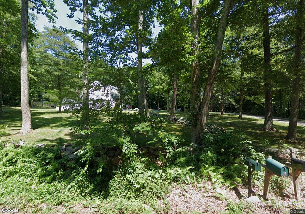
115 Orcutt Dr Guilford, CT 06437
Estimated Value: $1,221,000 - $1,344,000
5
Beds
5
Baths
4,149
Sq Ft
$311/Sq Ft
Est. Value
About This Home
This home is located at 115 Orcutt Dr, Guilford, CT 06437 and is currently estimated at $1,289,039, approximately $310 per square foot. 115 Orcutt Dr is a home located in New Haven County with nearby schools including E.C. Adams Middle School, A. Baldwin Middle School, and Guilford High School.
Ownership History
Date
Name
Owned For
Owner Type
Purchase Details
Closed on
Jul 1, 2011
Sold by
Benton-Rzeznik Francine M and Benton-Rzeznik Lizinka C
Bought by
Niedziela William J and Niedziela Debra N
Current Estimated Value
Home Financials for this Owner
Home Financials are based on the most recent Mortgage that was taken out on this home.
Original Mortgage
$200,000
Interest Rate
4.62%
Purchase Details
Closed on
Jul 11, 2006
Sold by
Bissonette Michael
Bought by
Rzeznik Francine M and Benton Lizinka C
Purchase Details
Closed on
Jan 9, 2004
Sold by
Millman Pamela P
Bought by
Bissonnette Michael R
Purchase Details
Closed on
Jun 15, 1998
Sold by
Mobley Jeffrey W and Mobley Susan R
Bought by
Millman William G and Millman Pamela P
Create a Home Valuation Report for This Property
The Home Valuation Report is an in-depth analysis detailing your home's value as well as a comparison with similar homes in the area
Home Values in the Area
Average Home Value in this Area
Purchase History
| Date | Buyer | Sale Price | Title Company |
|---|---|---|---|
| Niedziela William J | $759,900 | -- | |
| Rzeznik Francine M | $888,000 | -- | |
| Bissonnette Michael R | $650,000 | -- | |
| Millman William G | $435,000 | -- |
Source: Public Records
Mortgage History
| Date | Status | Borrower | Loan Amount |
|---|---|---|---|
| Closed | Millman William G | $200,000 | |
| Previous Owner | Millman William G | $265,000 | |
| Previous Owner | Millman William G | $150,000 |
Source: Public Records
Tax History Compared to Growth
Tax History
| Year | Tax Paid | Tax Assessment Tax Assessment Total Assessment is a certain percentage of the fair market value that is determined by local assessors to be the total taxable value of land and additions on the property. | Land | Improvement |
|---|---|---|---|---|
| 2025 | $18,668 | $675,150 | $172,550 | $502,600 |
| 2024 | $17,945 | $675,150 | $172,550 | $502,600 |
| 2023 | $17,473 | $675,150 | $172,550 | $502,600 |
| 2022 | $16,825 | $506,030 | $203,320 | $302,710 |
| 2021 | $16,507 | $506,030 | $203,320 | $302,710 |
| 2020 | $16,350 | $506,030 | $203,320 | $302,710 |
| 2019 | $16,208 | $506,030 | $203,320 | $302,710 |
| 2018 | $15,829 | $506,030 | $203,320 | $302,710 |
| 2017 | $15,568 | $530,250 | $222,330 | $307,920 |
| 2016 | $15,202 | $530,250 | $222,330 | $307,920 |
| 2015 | $14,974 | $530,250 | $222,330 | $307,920 |
| 2014 | $14,539 | $530,250 | $222,330 | $307,920 |
Source: Public Records
Map
Nearby Homes
- 81 Bartlett Dr
- 65 Ironwood Rd
- 330 Foxwood Rd
- 39 Stepping Stone Ln
- 214 Nortontown Rd
- 64 Dohm Ave
- 231 Nortontown Rd
- 18 Deepwood Dr
- 26 Opening Hill Rd
- 38 Opening Hill Rd
- 37 Pine Dr
- 90 Cedar Hill Rd
- 599 Goose Ln
- 25 Copperstone Ln
- 79 Fall Rd
- 75 Half Mile Rd
- 24 Echo Point Rd
- 23 Horsebarn Ln
- 40 Legend Hill Rd
- 1071 Durham Rd