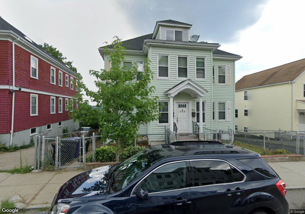
115 Ormond St Mattapan, MA 02126
Wellington Hill NeighborhoodEstimated Value: $756,000 - $975,000
6
Beds
2
Baths
3,264
Sq Ft
$270/Sq Ft
Est. Value
About This Home
This home is located at 115 Ormond St, Mattapan, MA 02126 and is currently estimated at $880,765, approximately $269 per square foot. 115 Ormond St is a home located in Suffolk County with nearby schools including KIPP Academy Boston Charter School and Berea Sda Academy.
Ownership History
Date
Name
Owned For
Owner Type
Purchase Details
Closed on
May 2, 2007
Sold by
Alford Robert L and Alford Shirley M
Bought by
Alford Shirley M
Current Estimated Value
Create a Home Valuation Report for This Property
The Home Valuation Report is an in-depth analysis detailing your home's value as well as a comparison with similar homes in the area
Home Values in the Area
Average Home Value in this Area
Purchase History
| Date | Buyer | Sale Price | Title Company |
|---|---|---|---|
| Alford Shirley M | -- | -- |
Source: Public Records
Tax History
| Year | Tax Paid | Tax Assessment Tax Assessment Total Assessment is a certain percentage of the fair market value that is determined by local assessors to be the total taxable value of land and additions on the property. | Land | Improvement |
|---|---|---|---|---|
| 2025 | $8,004 | $691,200 | $274,000 | $417,200 |
| 2024 | $7,324 | $671,900 | $242,600 | $429,300 |
| 2023 | $6,745 | $628,000 | $226,700 | $401,300 |
| 2022 | $6,444 | $592,300 | $213,800 | $378,500 |
| 2021 | $5,852 | $548,500 | $198,000 | $350,500 |
| 2020 | $5,377 | $509,200 | $205,900 | $303,300 |
| 2019 | $4,750 | $450,700 | $147,900 | $302,800 |
| 2018 | $4,294 | $409,700 | $147,900 | $261,800 |
| 2017 | $4,339 | $409,700 | $147,900 | $261,800 |
| 2016 | $4,024 | $365,800 | $147,900 | $217,900 |
| 2015 | $3,765 | $310,900 | $104,800 | $206,100 |
| 2014 | $3,492 | $277,600 | $104,800 | $172,800 |
Source: Public Records
Map
Nearby Homes
- 691-695 Morton St
- 16 Clarkwood St Unit 2
- 16 Clarkwood St Unit 3
- 30-32 Westmore Rd
- 62 Westmore Rd
- 67 Wildwood St
- 95 Deering Rd
- 5 Sutton St
- 5 Sutton St Unit 3B
- 46 Theodore St
- 55 Wilcock St
- 59 Wilcock St
- 58 Mattapan St
- 567B Norfolk St
- 24 Marden Ave
- 84 W Main St Unit 84
- 28 Hansborough St Unit 4
- 28 Hansborough St Unit Five
- 21 Ashton St Unit 1
- 116 Almont St
- 111 Ormond St
- 119 Ormond St
- 44 Goodale Rd
- 48 Goodale Rd Unit 1
- 107 Ormond St
- 107 Ormond St Unit 2
- 125 Ormond St
- 52 Goodale Rd
- 56 Goodale Rd
- 56 Goodale Rd Unit 2
- 56 Goodale Rd Unit 1
- 86 Ormond St Unit 88
- 84 Ormond St
- 90 Ormond St Unit 92
- 103 Ormond St
- 129 Ormond St
- 82 Ormond St Unit 84
- 82 Ormond St Unit 2
- 32 Goodale Rd
- 60 Goodale Rd
Your Personal Tour Guide
Ask me questions while you tour the home.