115 Osprey Point Ln Johns Island, SC 29455
Estimated Value: $3,445,000 - $3,913,000
5
Beds
7
Baths
3,786
Sq Ft
$980/Sq Ft
Est. Value
About This Home
This home is located at 115 Osprey Point Ln, Johns Island, SC 29455 and is currently estimated at $3,708,442, approximately $979 per square foot. 115 Osprey Point Ln is a home located in Charleston County with nearby schools including Mt. Zion Elementary School, Haut Gap Middle School, and St. Johns High School.
Ownership History
Date
Name
Owned For
Owner Type
Purchase Details
Closed on
May 14, 2020
Sold by
King David G and King Steven A
Bought by
Price Stephen W and Price Miahleilani R
Current Estimated Value
Home Financials for this Owner
Home Financials are based on the most recent Mortgage that was taken out on this home.
Original Mortgage
$1,400,000
Outstanding Balance
$1,238,248
Interest Rate
3.2%
Mortgage Type
New Conventional
Estimated Equity
$2,470,194
Purchase Details
Closed on
Jun 17, 2010
Sold by
King David G and King Steven A
Bought by
King David G and King Steven A
Purchase Details
Closed on
Jun 30, 2009
Sold by
Estate Of Judith C King and King Md David G
Bought by
King David G and Judith C King Residuary Trust
Purchase Details
Closed on
Mar 29, 2009
Sold by
King David G and King Steven A
Bought by
King David G and Estate Of Judith C King
Purchase Details
Closed on
May 19, 2000
Sold by
King Judith C
Bought by
King David G and King Steven A
Create a Home Valuation Report for This Property
The Home Valuation Report is an in-depth analysis detailing your home's value as well as a comparison with similar homes in the area
Home Values in the Area
Average Home Value in this Area
Purchase History
| Date | Buyer | Sale Price | Title Company |
|---|---|---|---|
| Price Stephen W | $1,900,000 | None Available | |
| King David G | -- | -- | |
| King David G | -- | -- | |
| King David G | -- | -- | |
| King David G | -- | -- | |
| King David G | -- | -- |
Source: Public Records
Mortgage History
| Date | Status | Borrower | Loan Amount |
|---|---|---|---|
| Open | Price Stephen W | $1,400,000 |
Source: Public Records
Tax History Compared to Growth
Tax History
| Year | Tax Paid | Tax Assessment Tax Assessment Total Assessment is a certain percentage of the fair market value that is determined by local assessors to be the total taxable value of land and additions on the property. | Land | Improvement |
|---|---|---|---|---|
| 2024 | $30,622 | $114,000 | $0 | $0 |
| 2023 | $27,647 | $114,000 | $0 | $0 |
| 2022 | $25,730 | $114,000 | $0 | $0 |
| 2021 | $25,430 | $114,000 | $0 | $0 |
| 2020 | $8,959 | $93,000 | $0 | $0 |
| 2019 | $8,570 | $88,420 | $0 | $0 |
| 2017 | $8,114 | $90,420 | $0 | $0 |
| 2016 | $7,628 | $90,420 | $0 | $0 |
| 2015 | $8,044 | $90,420 | $0 | $0 |
| 2014 | $8,015 | $0 | $0 | $0 |
| 2011 | -- | $0 | $0 | $0 |
Source: Public Records
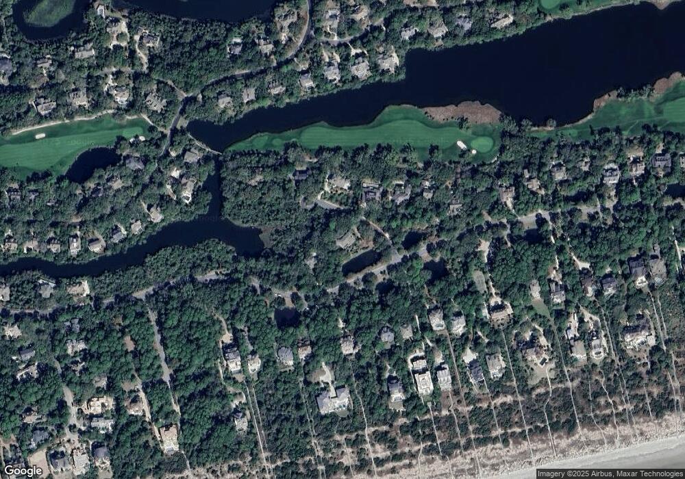
Map
Nearby Homes
- 210 Yellowthroat Ln
- 731 Virginia Rail Rd
- 141 Hooded Merganser Ct
- 27 Marsh Edge Ln
- 1 Shell Creek Landing
- 112 Governors Dr
- 418 Snowy Egret Ln
- 124 Sawgrass Ln
- 4919 Green Dolphin Way
- 5558 Green Dolphin Way
- 6002 Green Dolphin Way Unit 6002
- 5004 Green Dolphin Way Unit Share A
- 5524 Green Dolphin Way
- 5504 Green Dolphin Way
- 4679 Tennis Club Ln
- 5104 Sea Forest Dr
- 4121 Golf Cottage Ln
- 4506 Park Lake Dr
- 4420 Sea Forest Dr
- 4426 Sea Forest Dr
- 124 Osprey Point Ln
- 110 Flyway Dr
- 118 Osprey Point Ln
- 119 Osprey Point Ln
- 117 Osprey Point Ln
- 125 Flyway Dr
- 114 Flyway Dr
- 120 Flyway Dr
- 116 Osprey Point Ln
- 109 Flyway Dr
- 130 Flyway Dr
- 106 Flyway Dr
- 159 Flyway Dr
- 178 Flyway Dr
- 20 Flyway Dr
- 31 Flyway Dr
- 123 Flyway Dr
- 105 Flyway Dr
- 126 Flyway Dr
- 131 Flyway Dr