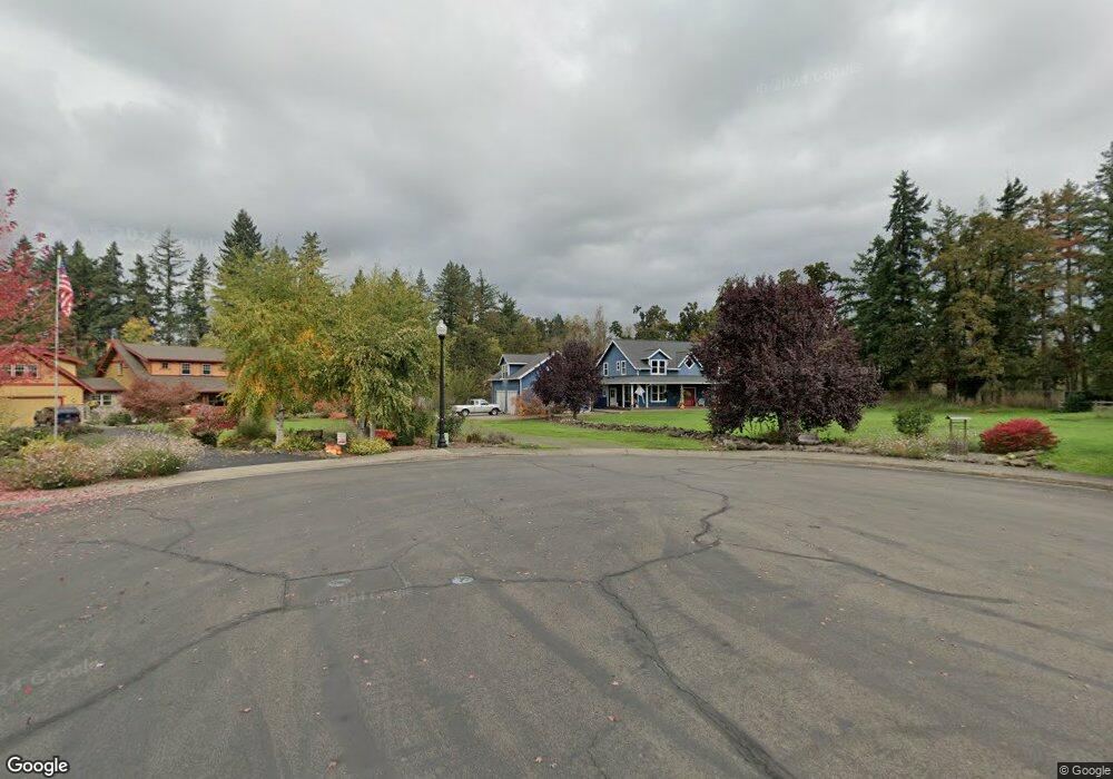
115 Parkside Ct Scotts Mills, OR 97375
Estimated Value: $755,000 - $894,053
4
Beds
3
Baths
3,734
Sq Ft
$221/Sq Ft
Est. Value
About This Home
This home is located at 115 Parkside Ct, Scotts Mills, OR 97375 and is currently estimated at $824,527, approximately $220 per square foot. 115 Parkside Ct is a home located in Marion County with nearby schools including Scotts Mills Elementary School and Silverton High School.
Ownership History
Date
Name
Owned For
Owner Type
Purchase Details
Closed on
Oct 7, 2016
Sold by
Johnson Tana and Lyles Lonnie
Bought by
Petersen Robert N and Petersen Monica
Current Estimated Value
Home Financials for this Owner
Home Financials are based on the most recent Mortgage that was taken out on this home.
Original Mortgage
$379,200
Outstanding Balance
$302,068
Interest Rate
3.43%
Mortgage Type
New Conventional
Estimated Equity
$522,459
Purchase Details
Closed on
Feb 5, 2015
Sold by
Lyles Lonnie
Bought by
Lyles Lonnie and Johnson Tana
Purchase Details
Closed on
Aug 11, 2011
Sold by
The Federal Deposit Insurance Corporatio
Bought by
Union Bank N A
Purchase Details
Closed on
Aug 9, 2011
Sold by
Union Bank Na
Bought by
Lyles Lonnie
Purchase Details
Closed on
Mar 26, 2010
Sold by
Havel Raymond and Havel Karen
Bought by
Frontier Bank
Create a Home Valuation Report for This Property
The Home Valuation Report is an in-depth analysis detailing your home's value as well as a comparison with similar homes in the area
Home Values in the Area
Average Home Value in this Area
Purchase History
| Date | Buyer | Sale Price | Title Company |
|---|---|---|---|
| Petersen Robert N | $474,000 | Ticor Title Company Of Or | |
| Lyles Lonnie | -- | Fatco | |
| Union Bank N A | -- | Ticor Title | |
| Lyles Lonnie | $335,000 | Ticor Title | |
| Frontier Bank | $396,200 | Ticor Title |
Source: Public Records
Mortgage History
| Date | Status | Borrower | Loan Amount |
|---|---|---|---|
| Open | Petersen Robert N | $379,200 |
Source: Public Records
Tax History Compared to Growth
Tax History
| Year | Tax Paid | Tax Assessment Tax Assessment Total Assessment is a certain percentage of the fair market value that is determined by local assessors to be the total taxable value of land and additions on the property. | Land | Improvement |
|---|---|---|---|---|
| 2025 | $5,136 | $404,450 | -- | -- |
| 2024 | $5,136 | $392,670 | -- | -- |
| 2023 | $5,005 | $381,240 | $0 | $0 |
| 2022 | $4,742 | $370,140 | $0 | $0 |
| 2021 | $4,612 | $359,360 | $0 | $0 |
| 2020 | $4,499 | $348,900 | $0 | $0 |
| 2019 | $4,400 | $341,810 | $0 | $0 |
| 2018 | $4,417 | $0 | $0 | $0 |
| 2017 | $4,319 | $0 | $0 | $0 |
| 2016 | $4,214 | $0 | $0 | $0 |
| 2015 | $4,092 | $0 | $0 | $0 |
| 2014 | $3,973 | $0 | $0 | $0 |
Source: Public Records
Map
Nearby Homes
- 551 6th St
- 0 Crooked Finger Rd NE Unit 827344
- 0 Crooked Finger Rd NE Unit 265826977
- Lot 1600 Crooked Finger Rd NE
- 000 Crooked Finger Rd NE
- 0 Off of Crooked Finge Rd
- 7138 Grandview Ave
- 7118 Grandview Ave
- 0 Hazelnut Ridge Rd
- 0 Address Undisclosed NE Unit 834166
- 37486 S Highway 213 (Adj To)
- 37486 S Hwy 213 (Adj To)
- 37658 S Highway 213
- 0 Peak View Unit Lots 24 & 46
- 8438 Cascade Hwy NE
- 17616 Abiqua Rd NE
- 17576 Abiqua Rd NE
- 6627 Mary Ln NE
- 36175 S Highway 213
- 5632 Mac Way NE