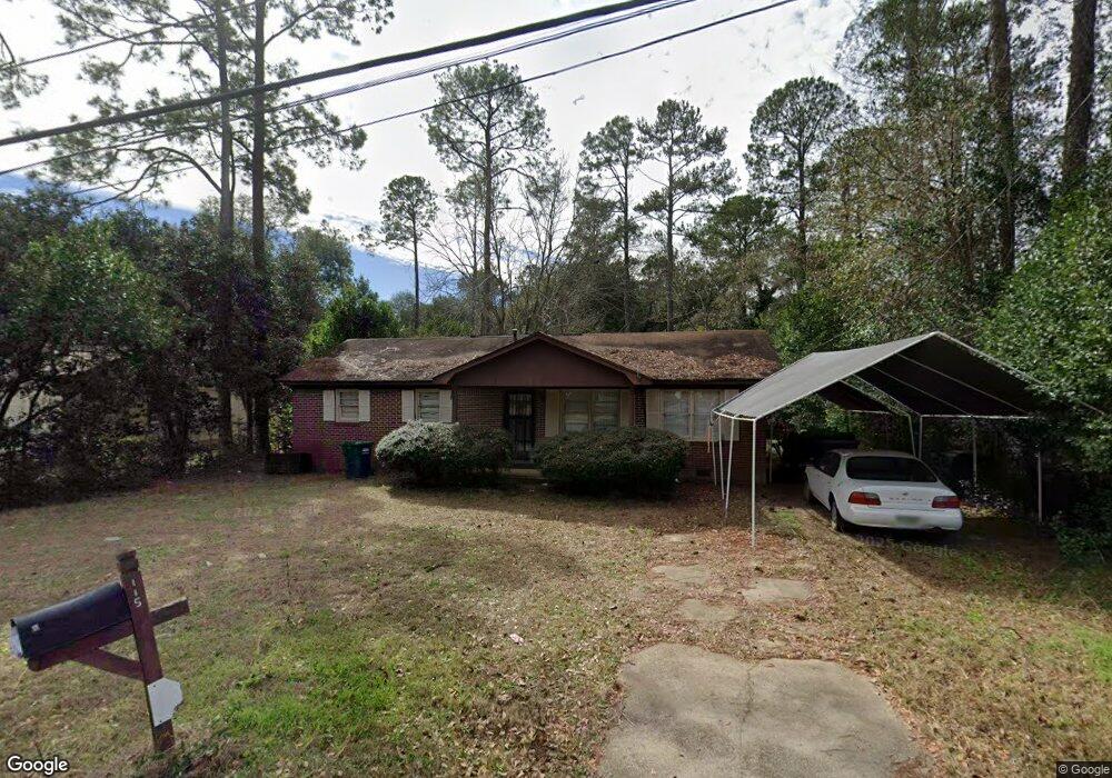
115 Patrol Dr Albany, GA 31705
Radium Springs NeighborhoodEstimated Value: $71,508 - $90,000
3
Beds
1
Bath
1,488
Sq Ft
$54/Sq Ft
Est. Value
About This Home
This home is located at 115 Patrol Dr, Albany, GA 31705 and is currently estimated at $79,877, approximately $53 per square foot. 115 Patrol Dr is a home located in Dougherty County with nearby schools including Morningside Elementary School, Southside Middle School, and Monroe High School.
Ownership History
Date
Name
Owned For
Owner Type
Purchase Details
Closed on
Mar 14, 2018
Sold by
Mercer Thomas E
Bought by
Mercer 3M Properties Llc
Current Estimated Value
Purchase Details
Closed on
Apr 26, 1995
Sold by
Hicks James W and Hicks Jewel E
Bought by
Mercer Thomas E
Purchase Details
Closed on
Mar 20, 1990
Sold by
Tucker Paul and Tucker Mary
Bought by
Hicks James and Hicks Jewel
Purchase Details
Closed on
Jul 27, 1962
Bought by
Tucker Paul and Tucker Mary
Create a Home Valuation Report for This Property
The Home Valuation Report is an in-depth analysis detailing your home's value as well as a comparison with similar homes in the area
Home Values in the Area
Average Home Value in this Area
Purchase History
| Date | Buyer | Sale Price | Title Company |
|---|---|---|---|
| Mercer 3M Properties Llc | $37,100 | -- | |
| Mercer Thomas E | $38,000 | -- | |
| Hicks James | $45,000 | -- | |
| Tucker Paul | -- | -- |
Source: Public Records
Tax History Compared to Growth
Tax History
| Year | Tax Paid | Tax Assessment Tax Assessment Total Assessment is a certain percentage of the fair market value that is determined by local assessors to be the total taxable value of land and additions on the property. | Land | Improvement |
|---|---|---|---|---|
| 2024 | $1,025 | $21,480 | $1,840 | $19,640 |
| 2023 | $1,001 | $21,480 | $1,840 | $19,640 |
| 2022 | $1,004 | $21,480 | $1,840 | $19,640 |
| 2021 | $931 | $21,480 | $1,840 | $19,640 |
| 2020 | $933 | $21,480 | $1,840 | $19,640 |
| 2019 | $937 | $21,480 | $1,840 | $19,640 |
| 2018 | $941 | $21,480 | $1,840 | $19,640 |
| 2017 | $877 | $21,480 | $1,840 | $19,640 |
| 2016 | $877 | $21,480 | $1,840 | $19,640 |
| 2015 | $879 | $21,480 | $1,840 | $19,640 |
| 2014 | $868 | $21,480 | $1,840 | $19,640 |
Source: Public Records
Map
Nearby Homes
- 410 Rosser Ln
- 109 Morningside Dr
- 111 Morningside Dr
- 104 Daniel Ct
- 1304 Mobile Ave
- 206 Raintree Dr
- 1011 Crawford Dr
- 939 Crawford Dr
- 925 Mercedes St
- 916 Crawford Dr
- 911 Mercedes St
- 502 Mitchell Ave
- 300 Southwood Dr
- 2601 S Jackson St
- 306 Tremont Ave
- 454 Poinciana Ave
- 309 Wells Ave
- 314 Tremont Ave
- 2126 Martin Luther King Junior Dr
- 418 Harmon Ave