115 Penny Dr Kings Mountain, NC 28086
Estimated Value: $161,998 - $250,000
Studio
--
Bath
1,044
Sq Ft
$206/Sq Ft
Est. Value
About This Home
This home is located at 115 Penny Dr, Kings Mountain, NC 28086 and is currently estimated at $214,999, approximately $205 per square foot. 115 Penny Dr is a home located in Cleveland County with nearby schools including Grover Elementary School, Kings Mountain Middle, and Kings Mountain Intermediate School.
Ownership History
Date
Name
Owned For
Owner Type
Purchase Details
Closed on
Apr 13, 2006
Sold by
Cobb Fannie W
Bought by
Passmore Michael V and Passmore Vera L
Current Estimated Value
Home Financials for this Owner
Home Financials are based on the most recent Mortgage that was taken out on this home.
Original Mortgage
$100,000
Interest Rate
6.44%
Mortgage Type
FHA
Create a Home Valuation Report for This Property
The Home Valuation Report is an in-depth analysis detailing your home's value as well as a comparison with similar homes in the area
Home Values in the Area
Average Home Value in this Area
Purchase History
| Date | Buyer | Sale Price | Title Company |
|---|---|---|---|
| Passmore Michael V | -- | None Available |
Source: Public Records
Mortgage History
| Date | Status | Borrower | Loan Amount |
|---|---|---|---|
| Previous Owner | Passmore Michael V | $100,000 |
Source: Public Records
Tax History
| Year | Tax Paid | Tax Assessment Tax Assessment Total Assessment is a certain percentage of the fair market value that is determined by local assessors to be the total taxable value of land and additions on the property. | Land | Improvement |
|---|---|---|---|---|
| 2025 | $589 | $92,799 | $50,428 | $42,371 |
| 2024 | $520 | $62,272 | $31,391 | $30,881 |
| 2023 | $517 | $62,272 | $31,391 | $30,881 |
| 2022 | $507 | $60,986 | $31,391 | $29,595 |
| 2021 | $510 | $60,986 | $31,391 | $29,595 |
| 2020 | $468 | $53,911 | $30,136 | $23,775 |
| 2019 | $468 | $53,911 | $30,136 | $23,775 |
| 2018 | $467 | $53,911 | $30,136 | $23,775 |
| 2017 | $465 | $53,911 | $30,136 | $23,775 |
| 2016 | $488 | $53,911 | $30,136 | $23,775 |
| 2015 | $524 | $58,515 | $26,536 | $31,979 |
| 2014 | $524 | $58,515 | $26,536 | $31,979 |
Source: Public Records
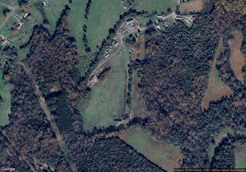
Map
Nearby Homes
- 105 Trotter Ln
- 707 Sandalwood Ln
- 907 Bethlehem Rd
- 107 Tara Terrace
- 210 Roy Bell Rd
- 105 Barley Dr
- 400 El Bethel Rd
- 104 Carol Lyn Rd
- 213 Mullinax Dr
- 507 Bethlehem Rd
- 127 Mullinax Dr
- 143 Yarbro Rd Unit 16
- 143 Yarbro Rd Unit 2
- 143 Yarbro Rd Unit 20
- 130 Benton Rd
- 132 Yarbro Rd Unit 13
- 11111 High Ridge Ct Unit 11
- 293 Belcaro Dr
- 103 Benton Rd
- 115 High Ridge Ct Unit 26
- 130 Penny Dr
- 132 Penn Place
- 811 Mcdaniel Rd
- 000 Cobb Dr
- 00 Cobb Dr
- 817 Mcdaniel Rd
- 905 Bethlehem Church Rd
- 847 Bethlehem Church Rd
- 845 Bethlehem Church Rd
- 817 Bethlehem Church Rd
- 913 Bethlehem Church Rd
- 836 Bethlehem Church Rd
- 750 Mcdaniel Rd
- 753 Mcdaniel Rd
- 753 Mcdaniel Rd
- 830 Bethlehem Church Rd
- 149 Huntseat Dr
- 145 Huntseat Dr
- 822 Mcdaniel Rd
- 820 Bethlehem Church Rd
Your Personal Tour Guide
Ask me questions while you tour the home.