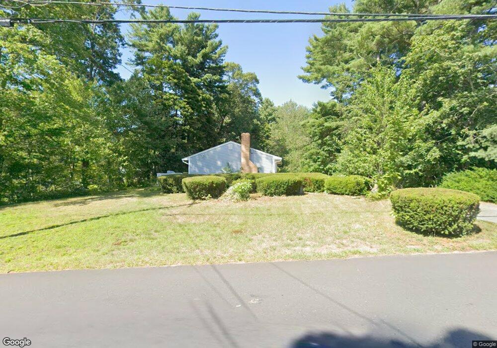
115 Plain St Mansfield, MA 02048
Estimated Value: $443,000 - $559,000
3
Beds
1
Bath
1,053
Sq Ft
$469/Sq Ft
Est. Value
About This Home
This home is located at 115 Plain St, Mansfield, MA 02048 and is currently estimated at $494,195, approximately $469 per square foot. 115 Plain St is a home located in Bristol County with nearby schools including Everett W. Robinson Elementary School, Jordan/Jackson Elementary School, and Harold L. Qualters Middle School.
Ownership History
Date
Name
Owned For
Owner Type
Purchase Details
Closed on
Sep 8, 2025
Sold by
Garland Linda L Est and Garland
Bought by
Garland Russell W and Vacatura Bridget
Current Estimated Value
Purchase Details
Closed on
Apr 14, 1983
Bought by
Garland Russell and Garland Linda
Create a Home Valuation Report for This Property
The Home Valuation Report is an in-depth analysis detailing your home's value as well as a comparison with similar homes in the area
Home Values in the Area
Average Home Value in this Area
Purchase History
| Date | Buyer | Sale Price | Title Company |
|---|---|---|---|
| Garland Russell W | -- | -- | |
| Garland Russell | -- | -- |
Source: Public Records
Mortgage History
| Date | Status | Borrower | Loan Amount |
|---|---|---|---|
| Previous Owner | Garland Russell | $50,000 | |
| Previous Owner | Garland Russell | $45,000 |
Source: Public Records
Tax History
| Year | Tax Paid | Tax Assessment Tax Assessment Total Assessment is a certain percentage of the fair market value that is determined by local assessors to be the total taxable value of land and additions on the property. | Land | Improvement |
|---|---|---|---|---|
| 2025 | $5,729 | $435,000 | $217,600 | $217,400 |
| 2024 | $5,334 | $395,100 | $217,600 | $177,500 |
| 2023 | $5,246 | $372,300 | $217,600 | $154,700 |
| 2022 | $5,082 | $335,000 | $201,400 | $133,600 |
| 2021 | $5,047 | $328,600 | $186,600 | $142,000 |
| 2020 | $4,981 | $324,300 | $186,600 | $137,700 |
| 2019 | $4,569 | $300,200 | $155,400 | $144,800 |
| 2018 | $4,181 | $268,500 | $140,800 | $127,700 |
| 2017 | $4,079 | $271,600 | $136,800 | $134,800 |
| 2016 | $4,176 | $271,000 | $137,100 | $133,900 |
| 2015 | $3,754 | $242,200 | $130,200 | $112,000 |
Source: Public Records
Map
Nearby Homes
- 24 Maverick Dr
- 150 Gilbert St
- 25 Shepherd St
- 25 Munroe Dr
- 84 Messenger St
- 128 Tremont St
- 9 Coach Rd
- 115 Westfield Dr
- 17 Childs Ln
- 14 Claire Ave
- 57 Vine St
- 33 Colonial Way
- 40 Treasure Island Rd
- 28 Messenger St
- Lot 5 Jeffrey Dr
- Lot 2 Jeffrey Dr
- 16 Treasure Island Rd
- 49 Pheasant Hill Rd
- 46 Mirimichi St
- 1769 West St
Your Personal Tour Guide
Ask me questions while you tour the home.