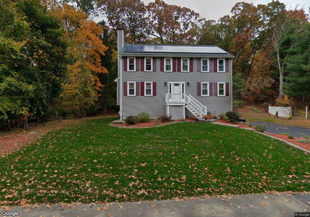
115 Raymond Rd Marlborough, MA 01752
Estimated Value: $753,000 - $872,000
4
Beds
3
Baths
2,260
Sq Ft
$359/Sq Ft
Est. Value
About This Home
This home is located at 115 Raymond Rd, Marlborough, MA 01752 and is currently estimated at $811,969, approximately $359 per square foot. 115 Raymond Rd is a home located in Middlesex County with nearby schools including Marlborough High School, New Covenant Christian School, and Glenhaven Academy - JRI School.
Ownership History
Date
Name
Owned For
Owner Type
Purchase Details
Closed on
Oct 14, 2014
Sold by
Tse Albert G D Est
Bought by
Tse Mary L
Current Estimated Value
Purchase Details
Closed on
Jan 25, 1999
Sold by
4 Leaf Dev Corp
Bought by
Tse Albert
Home Financials for this Owner
Home Financials are based on the most recent Mortgage that was taken out on this home.
Original Mortgage
$200,000
Interest Rate
6.7%
Mortgage Type
Purchase Money Mortgage
Create a Home Valuation Report for This Property
The Home Valuation Report is an in-depth analysis detailing your home's value as well as a comparison with similar homes in the area
Home Values in the Area
Average Home Value in this Area
Purchase History
| Date | Buyer | Sale Price | Title Company |
|---|---|---|---|
| Tse Mary L | -- | -- | |
| Tse Albert | $250,000 | -- |
Source: Public Records
Mortgage History
| Date | Status | Borrower | Loan Amount |
|---|---|---|---|
| Previous Owner | Tse Albert | $200,000 |
Source: Public Records
Tax History Compared to Growth
Tax History
| Year | Tax Paid | Tax Assessment Tax Assessment Total Assessment is a certain percentage of the fair market value that is determined by local assessors to be the total taxable value of land and additions on the property. | Land | Improvement |
|---|---|---|---|---|
| 2025 | $6,998 | $709,700 | $228,800 | $480,900 |
| 2024 | $6,658 | $650,200 | $208,100 | $442,100 |
| 2023 | $7,151 | $619,700 | $179,300 | $440,400 |
| 2022 | $6,925 | $527,800 | $170,700 | $357,100 |
| 2021 | $12,006 | $464,700 | $142,400 | $322,300 |
| 2020 | $12,243 | $444,300 | $135,600 | $308,700 |
| 2019 | $6,085 | $432,500 | $132,900 | $299,600 |
| 2018 | $8,108 | $408,900 | $115,200 | $293,700 |
| 2017 | $5,780 | $377,300 | $112,900 | $264,400 |
| 2016 | $5,585 | $364,100 | $112,900 | $251,200 |
| 2015 | $5,634 | $357,500 | $114,900 | $242,600 |
Source: Public Records
Map
Nearby Homes
- 17 Mcneil Cir
- 38 Collins Dr
- 168 Blanchette Dr
- 492 Stow Rd
- 274 Naugler Ave
- 618 Sudbury St
- 114 Linda Cir
- 551 Sudbury St
- 256 Robert Rd
- 33A Russo Dr
- 137 Naugler Ave
- 3 Stonehill Rd
- 323 Robert Rd
- 28 Stetson Dr
- 688 Boston Post Rd E Unit 202
- 688 Boston Post Rd E Unit 304
- 688 Boston Post Rd E Unit 100
- 688 Boston Post Rd E Unit 324
- 688 Boston Post Rd E Unit 228
- 75 Kings View Rd