115 Ross Ln Centertown, MO 65023
Estimated Value: $333,000 - $787,000
4
Beds
2
Baths
3,162
Sq Ft
$164/Sq Ft
Est. Value
About This Home
This home is located at 115 Ross Ln, Centertown, MO 65023 and is currently estimated at $519,899, approximately $164 per square foot. 115 Ross Ln is a home located in Cole County with nearby schools including Pioneer Trail Elementary School, Thomas Jefferson Middle School, and Capital City High School.
Ownership History
Date
Name
Owned For
Owner Type
Purchase Details
Closed on
Mar 9, 2023
Sold by
David Hoelschek Paul
Bought by
Hoelscher Leah Ashley
Current Estimated Value
Purchase Details
Closed on
Feb 18, 2014
Sold by
Paul S Paul S and Rosslan Carol L
Bought by
Rosslan Paul S and Rosslan Carol L
Home Financials for this Owner
Home Financials are based on the most recent Mortgage that was taken out on this home.
Original Mortgage
$137,749
Interest Rate
4.44%
Mortgage Type
Stand Alone First
Create a Home Valuation Report for This Property
The Home Valuation Report is an in-depth analysis detailing your home's value as well as a comparison with similar homes in the area
Purchase History
| Date | Buyer | Sale Price | Title Company |
|---|---|---|---|
| Hoelscher Leah Ashley | -- | -- | |
| Rosslan Paul S | -- | -- |
Source: Public Records
Mortgage History
| Date | Status | Borrower | Loan Amount |
|---|---|---|---|
| Previous Owner | Rosslan Paul S | $137,749 |
Source: Public Records
Tax History
| Year | Tax Paid | Tax Assessment Tax Assessment Total Assessment is a certain percentage of the fair market value that is determined by local assessors to be the total taxable value of land and additions on the property. | Land | Improvement |
|---|---|---|---|---|
| 2025 | $2,094 | $36,700 | $2,280 | $34,420 |
| 2024 | $21 | $36,700 | $2,280 | $34,420 |
| 2023 | $2,094 | $36,700 | $2,280 | $34,420 |
| 2022 | $1,989 | $34,750 | $0 | $34,750 |
| 2021 | $2,000 | $34,750 | $0 | $34,750 |
| 2020 | $2,025 | $39,235 | $2,280 | $36,955 |
| 2019 | $1,966 | $34,694 | $2,280 | $32,414 |
| 2018 | $1,964 | $36,765 | $2,280 | $34,485 |
| 2017 | $1,915 | $34,751 | $2,280 | $32,471 |
| 2016 | -- | $34,751 | $2,280 | $32,471 |
| 2015 | $1,623 | $0 | $0 | $0 |
| 2014 | $1,623 | $34,751 | $2,280 | $32,471 |
Source: Public Records
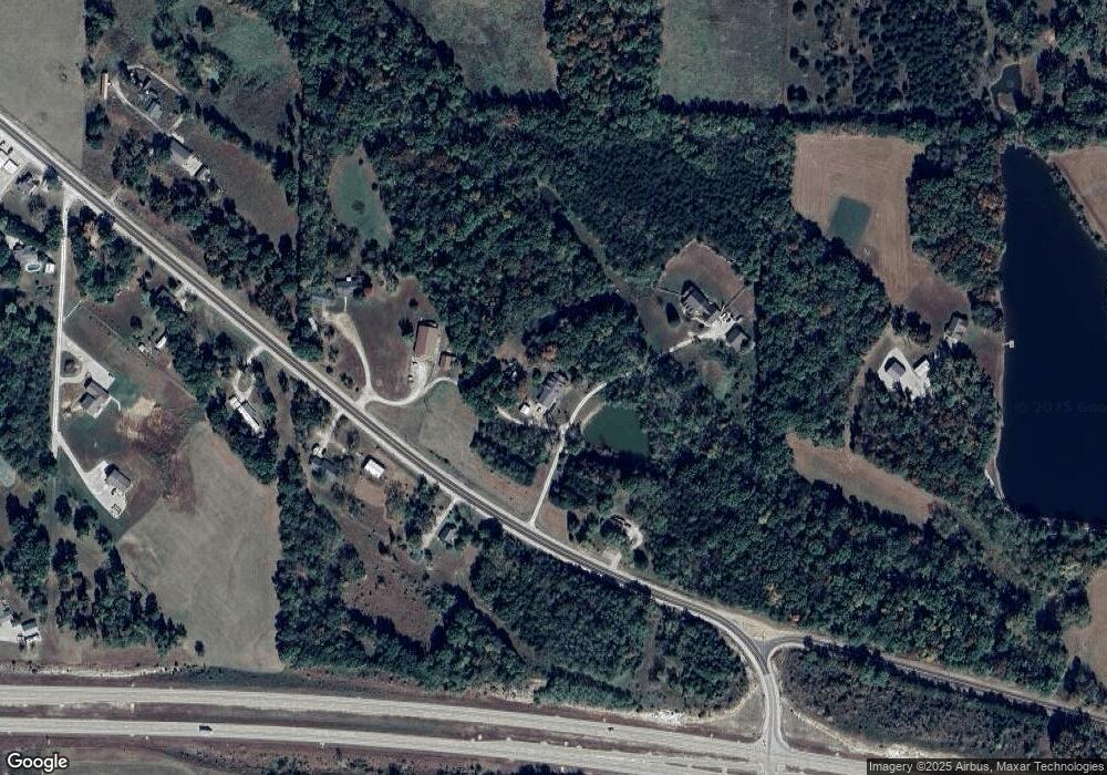
Map
Nearby Homes
- 318 Murphy Ford Road (Land Only) Rd
- 0 Murphy Ford Rd
- 202 Carel Rd
- 201 Poelker Place
- 9417 Stieferman Ln
- 205 Poelker Place
- 11814 Main St
- 1407 Conrad St
- 0 W Railroad Rd
- 0 7+ - Acres Route Nn
- 0 4 + - Acres Rt Nn
- 6916 Spring Park Dr
- 333 W Forest Ln
- 317 W Forest Ct
- 731 Biltmore Dr
- 732 Biltmore Dr
- 728 Biltmore Dr
- 0 Route Nn
- 6115 Napa Ridge Rd
- 802 Dickerson Creek Dr
- 114 Line Dr
- 9306 Lookout Trail
- 200 Ross Ln
- 9403 Lookout Trail
- 115 Line Dr
- 9419 Lookout Trail
- 9517 Lookout Trail
- 9002 Luxury Ln
- 9709 Lookout Trail
- 9617 Lookout Trail
- 407 Anderson Lake Rd
- 9705 Lookout Trail
- 307 Anderson Lake Rd
- 107 Anderson Lake Rd
- 303 Anderson Lake Rd
- 301 Anderson Lake Rd
- 820 Lazybrook Ln
- 205 Anderson Lake Rd
- 107 Anderson Lake Rd
- 1025 Sassafras Creekway
Your Personal Tour Guide
Ask me questions while you tour the home.