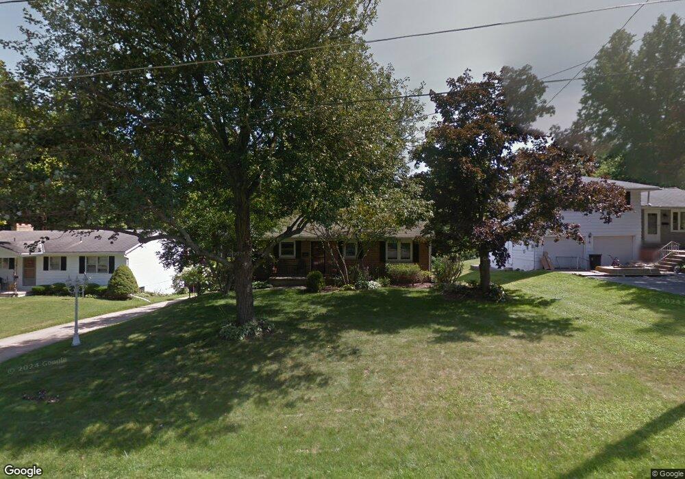
115 Rustic Ln Mansfield, OH 44907
Estimated Value: $148,000 - $187,146
3
Beds
3
Baths
1,288
Sq Ft
$130/Sq Ft
Est. Value
About This Home
This home is located at 115 Rustic Ln, Mansfield, OH 44907 and is currently estimated at $168,037, approximately $130 per square foot. 115 Rustic Ln is a home located in Richland County with nearby schools including St. Peter's Elementary/Montessori School, Discovery School, and St. Peter's Junior High / High School.
Ownership History
Date
Name
Owned For
Owner Type
Purchase Details
Closed on
Jun 26, 2009
Sold by
Gross Helen Louise and Gross Helen L
Bought by
Thomas Barrett C and Thomas Suzanne M
Current Estimated Value
Home Financials for this Owner
Home Financials are based on the most recent Mortgage that was taken out on this home.
Original Mortgage
$91,800
Interest Rate
5.5%
Mortgage Type
Future Advance Clause Open End Mortgage
Create a Home Valuation Report for This Property
The Home Valuation Report is an in-depth analysis detailing your home's value as well as a comparison with similar homes in the area
Home Values in the Area
Average Home Value in this Area
Purchase History
| Date | Buyer | Sale Price | Title Company |
|---|---|---|---|
| Thomas Barrett C | $102,000 | Southern Title |
Source: Public Records
Mortgage History
| Date | Status | Borrower | Loan Amount |
|---|---|---|---|
| Closed | Thomas Barrett C | $91,800 |
Source: Public Records
Tax History
| Year | Tax Paid | Tax Assessment Tax Assessment Total Assessment is a certain percentage of the fair market value that is determined by local assessors to be the total taxable value of land and additions on the property. | Land | Improvement |
|---|---|---|---|---|
| 2024 | $2,297 | $50,170 | $7,630 | $42,540 |
| 2023 | $2,349 | $50,170 | $7,630 | $42,540 |
| 2022 | $2,089 | $37,390 | $6,550 | $30,840 |
| 2021 | $2,104 | $37,390 | $6,550 | $30,840 |
| 2020 | $2,151 | $37,390 | $6,550 | $30,840 |
| 2019 | $2,021 | $31,690 | $5,550 | $26,140 |
| 2018 | $1,993 | $31,690 | $5,550 | $26,140 |
| 2017 | $1,939 | $31,690 | $5,550 | $26,140 |
| 2016 | $2,000 | $31,700 | $5,380 | $26,320 |
| 2015 | $2,000 | $31,700 | $5,380 | $26,320 |
| 2014 | $1,886 | $31,700 | $5,380 | $26,320 |
| 2012 | $741 | $32,690 | $5,550 | $27,140 |
Source: Public Records
Map
Nearby Homes
- 133 Winwood Dr
- 101 Chilton Ave
- 33 Rambleside Dr
- 466 Lexington Ave
- 470 Lexington Ave
- 530 Wood St
- 575 Crescent Rd
- 27 Dunbilt Ct
- 507 Townview Cir E
- 571 Luther St
- 394 S Main St
- 219 Lexington Ave
- 377 S Main St
- 0 Cline Ave Hedeen Abbeyfeale Unit 9066362
- 310 Townview Cir N
- 710 Lexington Ave
- 1066 Burkwood Rd
- 151 Grover St
- 104 Elmridge Rd
- 400 James Ave
Your Personal Tour Guide
Ask me questions while you tour the home.