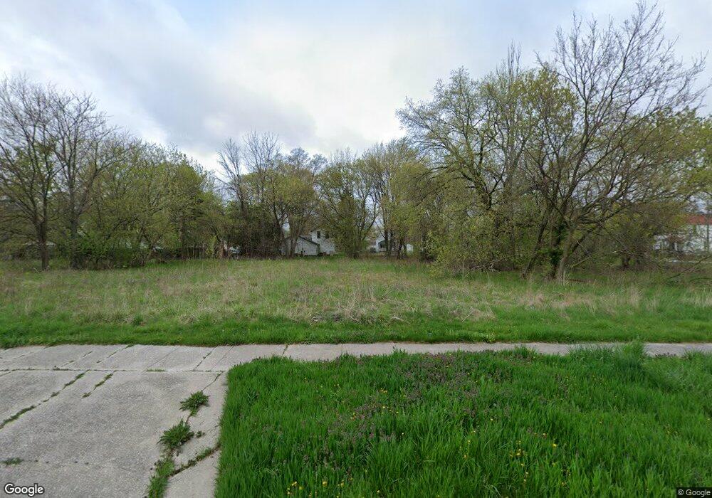
115 S 12th St Saginaw, MI 48601
Houghton Jones NeighborhoodEstimated Value: $35,000 - $145,000
--
Bed
1
Bath
864
Sq Ft
$90/Sq Ft
Est. Value
About This Home
This home is located at 115 S 12th St, Saginaw, MI 48601 and is currently estimated at $77,333, approximately $89 per square foot. 115 S 12th St is a home located in Saginaw County with nearby schools including Thompson Middle School, Saginaw United High School, and Saginaw Learn To Earn Academy.
Ownership History
Date
Name
Owned For
Owner Type
Purchase Details
Closed on
Feb 14, 2022
Sold by
Saginaw County Land Bank Authority
Bought by
Dawkins Gary A and Powell Johnathan
Current Estimated Value
Purchase Details
Closed on
Feb 11, 2022
Sold by
Saginaw County Land Bank Authority
Bought by
Dawkins Gary A and Powell Johnathan
Purchase Details
Closed on
Nov 1, 2012
Sold by
Mausolf Barbara L
Bought by
Saginaw County Land Bank Authority
Purchase Details
Closed on
Feb 9, 2001
Sold by
Banks, Oz Walter & Cucecil E Tr
Bought by
Banks Cucecil E
Purchase Details
Closed on
Feb 8, 2001
Sold by
Banks, Walter Estate
Bought by
Banks, Oz Walter & Cucecil E Tr
Purchase Details
Closed on
Feb 27, 1991
Sold by
Housing & Urban Development
Bought by
Banks Walter
Purchase Details
Closed on
Jul 18, 1990
Sold by
Federal National Mtge Assoc
Bought by
Hud
Purchase Details
Closed on
Jan 17, 1990
Sold by
Badger James
Bought by
Federal National Mtge Assoc
Create a Home Valuation Report for This Property
The Home Valuation Report is an in-depth analysis detailing your home's value as well as a comparison with similar homes in the area
Home Values in the Area
Average Home Value in this Area
Purchase History
| Date | Buyer | Sale Price | Title Company |
|---|---|---|---|
| Dawkins Gary A | $1,350 | None Listed On Document | |
| Dawkins Gary A | $1,350 | None Listed On Document | |
| Saginaw County Land Bank Authority | -- | -- | |
| Banks Cucecil E | -- | -- | |
| Banks Cucecil E | -- | -- | |
| Banks, Oz Walter & Cucecil E Tr | -- | -- | |
| Banks Walter | $9,000 | -- | |
| Hud | -- | -- | |
| Federal National Mtge Assoc | $13,600 | -- |
Source: Public Records
Tax History Compared to Growth
Tax History
| Year | Tax Paid | Tax Assessment Tax Assessment Total Assessment is a certain percentage of the fair market value that is determined by local assessors to be the total taxable value of land and additions on the property. | Land | Improvement |
|---|---|---|---|---|
| 2025 | $22 | $400 | $0 | $0 |
| 2024 | $18 | $300 | $0 | $0 |
| 2023 | $18 | $300 | $0 | $0 |
| 2022 | -- | $0 | $0 | $0 |
| 2021 | $0 | $0 | $0 | $0 |
| 2020 | $0 | $0 | $0 | $0 |
| 2019 | $0 | $0 | $0 | $0 |
| 2018 | $0 | $0 | $0 | $0 |
| 2017 | $0 | $0 | $0 | $0 |
| 2016 | -- | $0 | $0 | $0 |
| 2014 | -- | $0 | $0 | $0 |
| 2013 | -- | $0 | $0 | $0 |
Source: Public Records
Map
Nearby Homes
- 213 S 12th St
- 346 S 7th St
- 441 S 11th St
- 514 N 8th St
- 524 S 14th St
- 924 Federal Ave
- 1346 Carlisle St
- 3361 Burt St
- 1919 Perkins St
- 1103,1107,1111,1115 S Park Ave
- 550 S Weadock Ave
- 915 Burt St
- 631 Cathay St
- 1610 E Genesee Ave
- 515 Thompson St
- 2420 Bancroft St
- 3 Harmony Ct
- 912 Howard St
- 436 S 27th St
- 2143 Whittier St