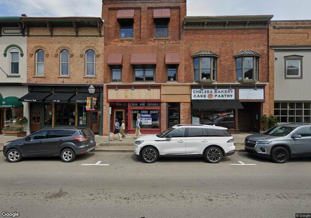
115 S Main St Chelsea, MI 48118
Estimated Value: $2,238,918
--
Bed
--
Bath
9,678
Sq Ft
$231/Sq Ft
Est. Value
About This Home
This home is located at 115 S Main St, Chelsea, MI 48118 and is currently estimated at $2,238,918, approximately $231 per square foot. 115 S Main St is a home located in Washtenaw County with nearby schools including North Creek Elementary School, South Meadows Elementary School, and Beach Middle School.
Ownership History
Date
Name
Owned For
Owner Type
Purchase Details
Closed on
Feb 15, 2006
Sold by
Parent & Parent Llc
Bought by
Tannin Property Group Llc
Current Estimated Value
Home Financials for this Owner
Home Financials are based on the most recent Mortgage that was taken out on this home.
Original Mortgage
$840,000
Outstanding Balance
$472,887
Interest Rate
6.2%
Mortgage Type
Commercial
Estimated Equity
$1,766,031
Purchase Details
Closed on
Feb 24, 2004
Sold by
Bay Breeze Llc
Bought by
Parent & Parent Llc
Create a Home Valuation Report for This Property
The Home Valuation Report is an in-depth analysis detailing your home's value as well as a comparison with similar homes in the area
Home Values in the Area
Average Home Value in this Area
Purchase History
| Date | Buyer | Sale Price | Title Company |
|---|---|---|---|
| Tannin Property Group Llc | $1,150,000 | Liberty Title | |
| Parent & Parent Llc | -- | Lib |
Source: Public Records
Mortgage History
| Date | Status | Borrower | Loan Amount |
|---|---|---|---|
| Open | Tannin Property Group Llc | $840,000 |
Source: Public Records
Tax History Compared to Growth
Tax History
| Year | Tax Paid | Tax Assessment Tax Assessment Total Assessment is a certain percentage of the fair market value that is determined by local assessors to be the total taxable value of land and additions on the property. | Land | Improvement |
|---|---|---|---|---|
| 2025 | $26,048 | $584,100 | $0 | $0 |
| 2024 | $26,430 | $581,100 | $0 | $0 |
| 2023 | $26,430 | $584,400 | $0 | $0 |
| 2022 | $21,542 | $543,500 | $0 | $0 |
| 2021 | $24,945 | $494,200 | $0 | $0 |
| 2020 | $25,106 | $494,200 | $0 | $0 |
| 2019 | $21,870 | $442,300 | $442,300 | $0 |
| 2018 | $21,219 | $388,800 | $0 | $0 |
| 2017 | $0 | $348,800 | $0 | $0 |
| 2016 | $0 | $302,632 | $0 | $0 |
| 2015 | -- | $301,727 | $0 | $0 |
| 2014 | -- | $292,300 | $0 | $0 |
| 2013 | -- | $292,300 | $0 | $0 |
Source: Public Records
Map
Nearby Homes
- 684 Knollwood Bend
- 232 South St
- 111 Dewey St
- 601 S Main St
- 207 Lincoln St
- 522 Mckinley St
- 159 Clardale Ct
- 867 Greystone Dr Unit Par C
- 0 Old Us 12 Unit 25045576
- 859 Greystone Dr Unit 13
- 5975 Sibley Rd
- 410 Washington St
- 643 W Middle St
- 464 Hickory Bluff Ln
- 707 Knollwood Bend
- 706 Knollwood Bend
- 724 Knollwood Bend
- 769 Taylor St Unit 40
- 675 W Middle St
- Brooklyn Plan at Heritage Farms
- 115 S Main St Unit 315
- 115 S Main St
- 115 S Main St
- 121 S Main St
- 121 S Main St
- 121 S Main St
- 107 S Main St
- 107 S Main St Unit Chelsea Lofts unit 1
- 107 S Main St
- 107 S Main St
- 107 S Main St Unit 100
- 110 S Main St
- 117 S Main St
- 108 S Main St
- 115 1/2 S Main St
- 215 S Main St
- 114 S Main St
- 118 S Main St
- 217 S Main St
- 120 S Main St