115 Saint Andrews Dr Fayetteville, GA 30215
Whitewater NeighborhoodEstimated Value: $985,905 - $1,103,000
--
Bed
--
Bath
4,226
Sq Ft
$247/Sq Ft
Est. Value
About This Home
This home is located at 115 Saint Andrews Dr, Fayetteville, GA 30215 and is currently estimated at $1,045,726, approximately $247 per square foot. 115 Saint Andrews Dr is a home located in Fayette County with nearby schools including Braelinn Elementary School, Rising Starr Middle School, and Starrs Mill High School.
Ownership History
Date
Name
Owned For
Owner Type
Purchase Details
Closed on
Jul 2, 2024
Sold by
Elliott John S and Elliott Tina Bellamy
Bought by
Joint Revocable Trust and Elliott
Current Estimated Value
Purchase Details
Closed on
Dec 6, 1993
Sold by
Johnson Kenneth S and Johnson Bonnie
Bought by
Elliott John S and Elliott Tina B
Home Financials for this Owner
Home Financials are based on the most recent Mortgage that was taken out on this home.
Original Mortgage
$270,000
Interest Rate
6.85%
Create a Home Valuation Report for This Property
The Home Valuation Report is an in-depth analysis detailing your home's value as well as a comparison with similar homes in the area
Home Values in the Area
Average Home Value in this Area
Purchase History
| Date | Buyer | Sale Price | Title Company |
|---|---|---|---|
| Joint Revocable Trust | -- | None Listed On Document | |
| Elliott John S | $356,000 | -- |
Source: Public Records
Mortgage History
| Date | Status | Borrower | Loan Amount |
|---|---|---|---|
| Previous Owner | Elliott John S | $270,000 |
Source: Public Records
Tax History Compared to Growth
Tax History
| Year | Tax Paid | Tax Assessment Tax Assessment Total Assessment is a certain percentage of the fair market value that is determined by local assessors to be the total taxable value of land and additions on the property. | Land | Improvement |
|---|---|---|---|---|
| 2024 | $3,774 | $328,884 | $40,800 | $288,084 |
| 2023 | $3,439 | $315,160 | $40,800 | $274,360 |
| 2022 | $3,794 | $269,880 | $40,800 | $229,080 |
| 2021 | $6,050 | $231,760 | $40,800 | $190,960 |
| 2020 | $5,988 | $215,400 | $40,800 | $174,600 |
| 2019 | $6,077 | $216,240 | $40,800 | $175,440 |
| 2018 | $5,988 | $209,400 | $40,800 | $168,600 |
| 2017 | $5,784 | $201,560 | $40,800 | $160,760 |
| 2016 | $6,040 | $205,800 | $40,800 | $165,000 |
| 2015 | $5,492 | $184,000 | $40,800 | $143,200 |
| 2014 | $5,076 | $167,160 | $40,800 | $126,360 |
| 2013 | -- | $155,160 | $0 | $0 |
Source: Public Records
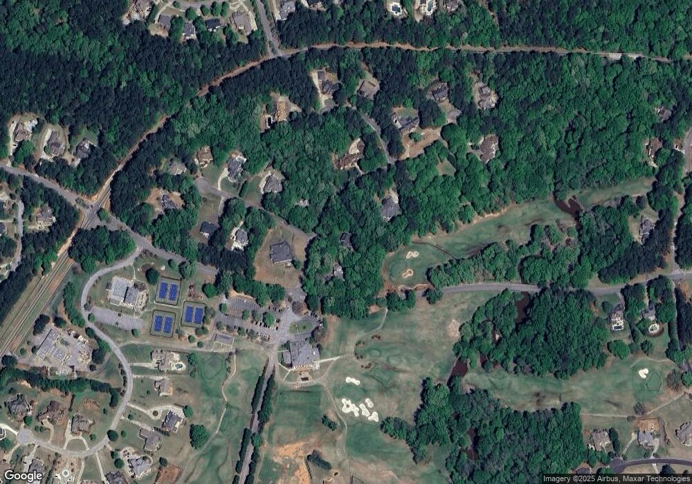
Map
Nearby Homes
- 125 County Down
- 940 Winged Foot Trail
- 119 Quarters Rd
- 770 Tralee Dr
- 150 Coventry Ct
- 120 Kapalua Point
- 335 Birkdale Dr
- 135 Troon Dr
- 195 Trotters Ridge
- 100 Brisbane Ct
- 205 Newhaven Dr
- 180 Browns Crossing Dr
- 165 Isleworth Way
- 450 Birkdale Dr
- 160 Green Meadow Ln
- 115 Tall Timber Ct
- 183 Busbin Rd
- 11.814 ACRES Busbin Rd
- 5+/- AC Busbin Rd
- 110 Turnberry Cir
- 105 Saint Andrews Dr
- 125 St Andrews Dr
- 125 Saint Andrews Dr
- 110 Saint Andrews Dr
- 0 Saint Andrews Dr Unit 7578267
- 0 Saint Andrews Dr Unit 7421751
- 0 Saint Andrews Dr Unit 8324174
- 0 Saint Andrews Dr Unit 8862511
- 0 Saint Andrews Dr
- 100 Saint Andrews Dr
- 120 Saint Andrews Dr
- 115 Killarney Dr
- 110 Killarney Dr Unit 22A
- 110 Killarney Dr
- 130 Saint Andrews Dr
- 125 Killarney Dr
- 120 County Down
- 120 Killarney Dr
- 115 County Down
- 155 St Andrews Dr