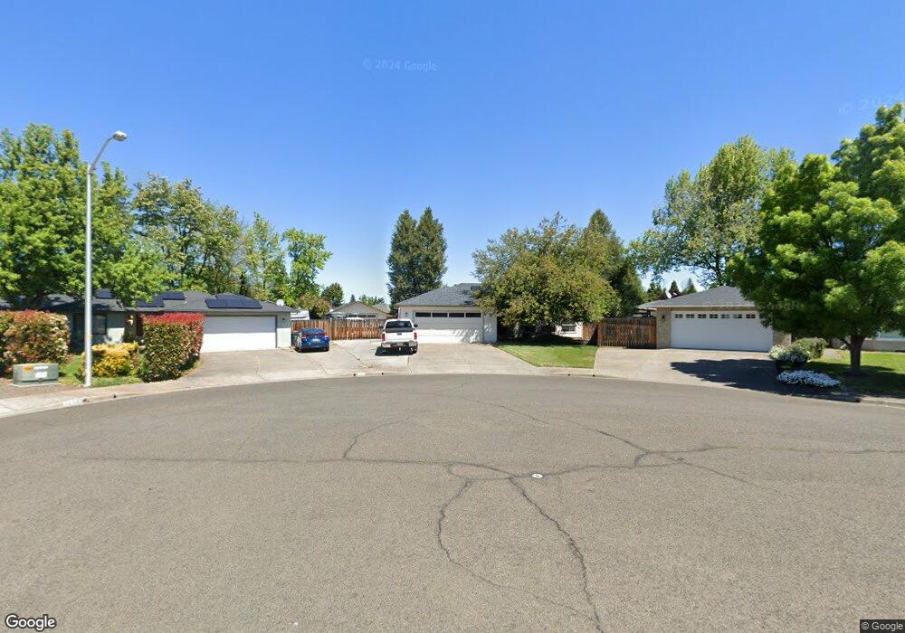
115 Shadowwood Ct Central Point, OR 97502
Estimated Value: $395,000 - $431,525
3
Beds
2
Baths
1,609
Sq Ft
$258/Sq Ft
Est. Value
About This Home
This home is located at 115 Shadowwood Ct, Central Point, OR 97502 and is currently estimated at $414,631, approximately $257 per square foot. 115 Shadowwood Ct is a home located in Jackson County with nearby schools including Howard Elementary School, McLoughlin Middle School, and North Medford High School.
Ownership History
Date
Name
Owned For
Owner Type
Purchase Details
Closed on
Nov 27, 1998
Sold by
Lenhardt Donald E and Lenhardt Lynn A
Bought by
Simmons Doyle W and Simmons Jeanine E
Current Estimated Value
Home Financials for this Owner
Home Financials are based on the most recent Mortgage that was taken out on this home.
Original Mortgage
$90,900
Outstanding Balance
$18,832
Interest Rate
6.84%
Estimated Equity
$395,799
Create a Home Valuation Report for This Property
The Home Valuation Report is an in-depth analysis detailing your home's value as well as a comparison with similar homes in the area
Purchase History
| Date | Buyer | Sale Price | Title Company |
|---|---|---|---|
| Simmons Doyle W | $135,900 | Jackson County Title |
Source: Public Records
Mortgage History
| Date | Status | Borrower | Loan Amount |
|---|---|---|---|
| Open | Simmons Doyle W | $90,900 |
Source: Public Records
Tax History
| Year | Tax Paid | Tax Assessment Tax Assessment Total Assessment is a certain percentage of the fair market value that is determined by local assessors to be the total taxable value of land and additions on the property. | Land | Improvement |
|---|---|---|---|---|
| 2026 | $3,833 | $230,800 | -- | -- |
| 2025 | $3,749 | $224,080 | $85,290 | $138,790 |
| 2024 | $3,749 | $217,560 | $82,800 | $134,760 |
| 2023 | $3,635 | $211,230 | $80,380 | $130,850 |
| 2022 | $3,544 | $211,230 | $80,380 | $130,850 |
| 2021 | $3,451 | $205,080 | $78,040 | $127,040 |
| 2020 | $3,364 | $199,110 | $75,760 | $123,350 |
| 2019 | $3,282 | $187,690 | $71,410 | $116,280 |
| 2018 | $3,196 | $182,230 | $69,330 | $112,900 |
| 2017 | $3,133 | $182,230 | $69,330 | $112,900 |
| 2016 | $3,066 | $171,780 | $65,360 | $106,420 |
| 2015 | $2,947 | $171,780 | $65,360 | $106,420 |
| 2014 | $2,893 | $161,930 | $61,600 | $100,330 |
Source: Public Records
Map
Nearby Homes
- 1283 Far West Ave Unit 3
- 402 Emerald Cir
- 105 Queens Gate Ct
- 2971 Table Rock Rd
- 412 Morningside St
- 3277 Cottonwood Ave
- 2772 Merriman Rd
- 567 Black Bear Dr
- 811 O'Hare Pkwy
- 529 Black Bear Dr
- 2744 Merriman Rd
- 2841 Howard Ave
- 1258 Joshua Ct
- 2825 Howard Ave
- 2817 Howard Ave
- 439 Midway Rd
- 959 Westrop Dr
- 1025 Fairfield Ave
- 450 Midway Rd Unit 6
- 450 Midway Rd Unit 16
- 115 Shadow Wood Ct
- 119 Shadowwood Ct
- 105 Shadow Wood Ct
- 1260 Far West Ave
- 1260 Far Ave W
- 105 Shadowwood Ct Unit 3
- 1254 Far West Ave
- 1278 Far Ave W
- 1254 Far Ave W
- 1278 Far West Ave
- 125 Shadowwood Ct
- 1246 Far Ave W
- 1246 Far West Ave
- 1282 Far Ave W
- 1282 Far West Ave
- 159 Woodbury Ct
- 124 Shadowwood Ct
- 1242 Far West Ave
- 1290 Far Ave W
- 1290 Far West Ave
Your Personal Tour Guide
Ask me questions while you tour the home.