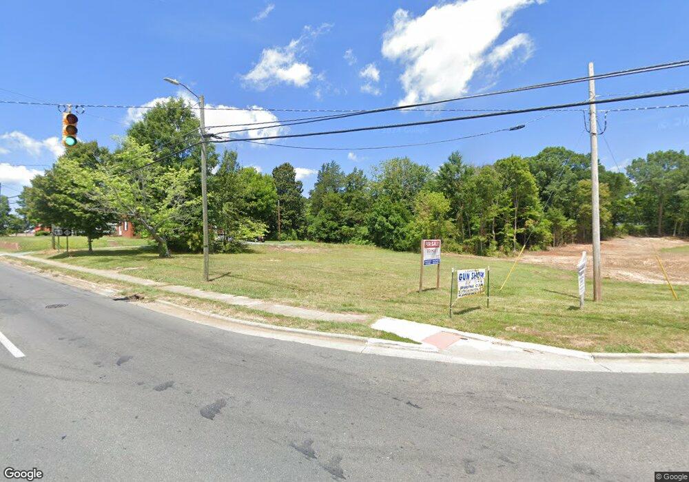
115 State Highway 49 Ramseur, NC 27316
Estimated Value: $120,503
Studio
--
Bath
--
Sq Ft
2.45
Acres
About This Home
This home is located at 115 State Highway 49, Ramseur, NC 27316 and is currently priced at $120,503. 115 State Highway 49 is a home located in Randolph County with nearby schools including Ramseur Elementary School, Southeastern Randolph Middle School, and Eastern Randolph High School.
Ownership History
Date
Name
Owned For
Owner Type
Purchase Details
Closed on
Jul 26, 2022
Sold by
York Joseph L and York Nancy C
Bought by
Haneys Holding Company Llc
Current Estimated Value
Home Financials for this Owner
Home Financials are based on the most recent Mortgage that was taken out on this home.
Original Mortgage
$76,907
Outstanding Balance
$73,413
Interest Rate
5.81%
Mortgage Type
New Conventional
Create a Home Valuation Report for This Property
The Home Valuation Report is an in-depth analysis detailing your home's value as well as a comparison with similar homes in the area
Purchase History
| Date | Buyer | Sale Price | Title Company |
|---|---|---|---|
| Haneys Holding Company Llc | $75,000 | None Listed On Document | |
| Haneys Holding Company Llc | $75,000 | None Listed On Document |
Source: Public Records
Mortgage History
| Date | Status | Borrower | Loan Amount |
|---|---|---|---|
| Open | Haneys Holding Company Llc | $76,907 |
Source: Public Records
Tax History Compared to Growth
Tax History
| Year | Tax Paid | Tax Assessment Tax Assessment Total Assessment is a certain percentage of the fair market value that is determined by local assessors to be the total taxable value of land and additions on the property. | Land | Improvement |
|---|---|---|---|---|
| 2025 | $1,363 | $111,720 | $111,720 | $0 |
| 2024 | $1,363 | $111,720 | $111,720 | $0 |
| 2023 | $1,307 | $111,720 | $111,720 | $0 |
| 2022 | $1,455 | $111,720 | $111,720 | $0 |
| 2021 | $1,455 | $111,720 | $111,720 | $0 |
| 2020 | $1,455 | $111,720 | $111,720 | $0 |
| 2019 | $1,455 | $111,720 | $111,720 | $0 |
| 2018 | $1,477 | $111,720 | $111,720 | $0 |
| 2016 | $1,477 | $111,720 | $111,720 | $0 |
| 2015 | $1,480 | $111,720 | $111,720 | $0 |
| 2014 | -- | $111,720 | $111,720 | $0 |
Source: Public Records
Map
Nearby Homes
- 0 State Highway 49
- 507 Columbia Ave
- 4737 Huntingwood Rd
- 4650 Huntingwood Rd
- 7187 Jordan Rd
- 4659 Huntingwood Rd
- 324 Elam Ave
- 309 Elam Ave
- 432 Kimrey St
- 321 Coleridge Rd
- 1001 Meadowood Dr
- 5182 Foushee Rd
- 2050 Welborn Cir
- 147 Wright St
- 2110 Newell St
- 5713 Us Highway 64 E
- 4242 Lake Ridge Ct
- 518 E Main St
- 8521 Us Highway 64 E
- 1804 Mulberry Academy St
- 115 N Carolina 49
- 115 Nc Highway 49 N
- 6929 Jordan Rd
- 6911 Jordan Rd
- 6909 Jordan Rd
- 501 Columbia Ave
- 330 King Rd
- 7026 Jordan Rd
- 377 Broad St
- 4789 Huntingwood Rd
- 0 (Tract 4 U S Highway 64
- 0 (Tract 3 U S Highway 64
- 0 (Tract 2 U S Highway 64
- 0 (Tract 4) U S Highway 64
- 0 (Tract 2) U S Highway 64
- 0 (Tract 3) U S Highway 64
- 4786 Huntingwood Rd
- 162 Nc Highway 49 N
- 215 King Rd
- 4781 Huntingwood Rd