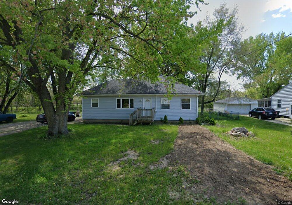
115 Stewart Ave Waterloo, IA 50701
Estimated Value: $123,000 - $169,000
3
Beds
1
Bath
1,056
Sq Ft
$139/Sq Ft
Est. Value
About This Home
This home is located at 115 Stewart Ave, Waterloo, IA 50701 and is currently estimated at $147,146, approximately $139 per square foot. 115 Stewart Ave is a home located in Black Hawk County with nearby schools including Becker Elementary School, Central Middle School, and West High School.
Ownership History
Date
Name
Owned For
Owner Type
Purchase Details
Closed on
May 3, 2024
Sold by
Bierman Holdings Llc
Bought by
Clark Rodney
Current Estimated Value
Home Financials for this Owner
Home Financials are based on the most recent Mortgage that was taken out on this home.
Original Mortgage
$99,500
Outstanding Balance
$98,010
Interest Rate
6.87%
Mortgage Type
Credit Line Revolving
Estimated Equity
$49,136
Purchase Details
Closed on
Feb 3, 2015
Sold by
Adair Holdings Llc
Bought by
Clb Development Llc
Create a Home Valuation Report for This Property
The Home Valuation Report is an in-depth analysis detailing your home's value as well as a comparison with similar homes in the area
Purchase History
| Date | Buyer | Sale Price | Title Company |
|---|---|---|---|
| Clark Rodney | $124,500 | Title Services | |
| Clb Development Llc | $38,000 | None Available |
Source: Public Records
Mortgage History
| Date | Status | Borrower | Loan Amount |
|---|---|---|---|
| Open | Clark Rodney | $99,500 |
Source: Public Records
Tax History
| Year | Tax Paid | Tax Assessment Tax Assessment Total Assessment is a certain percentage of the fair market value that is determined by local assessors to be the total taxable value of land and additions on the property. | Land | Improvement |
|---|---|---|---|---|
| 2025 | $2,622 | $132,900 | $27,440 | $105,460 |
| 2024 | $2,622 | $120,850 | $27,440 | $93,410 |
| 2023 | $2,536 | $120,850 | $27,440 | $93,410 |
| 2022 | $2,468 | $115,430 | $27,440 | $87,990 |
| 2021 | $2,206 | $115,430 | $27,440 | $87,990 |
| 2020 | $2,170 | $97,360 | $19,960 | $77,400 |
| 2019 | $2,170 | $97,360 | $19,960 | $77,400 |
| 2018 | $2,170 | $97,360 | $19,960 | $77,400 |
| 2017 | $2,236 | $97,360 | $19,960 | $77,400 |
| 2016 | $1,846 | $97,360 | $19,960 | $77,400 |
| 2015 | $1,846 | $81,370 | $19,960 | $61,410 |
| 2014 | $1,882 | $81,370 | $19,960 | $61,410 |
Source: Public Records
Map
Nearby Homes
- 435 Martin Rd
- 263 Byrnbrae St
- 202 Byrnbrae St
- 910 Campbell Ave
- 0 Provision Pkwy
- 826 Home Park Blvd
- 0 Hwy 63 Land Unit NBR20254281
- 0 Hwy 63 Land Unit NBR20255994
- 511 Columbia Cir
- Village West 2nd Addn Lot 2
- 1221 Downing Ave
- 514 Columbia Cir
- 1839 Rush St
- 1266 Doreen Ave
- 2006 W 3rd St
- 1221 Julian Ave
- 610 Reber Ave
- 3329 Lincolnshire Rd
- 3335 Lincolnshire Rd
- 3325 Lincolnshire Rd
- 121 Stewart Ave
- 120 Stewart Ave
- 131 Stewart Ave
- 126 Stewart Ave
- 134 Stewart Ave
- 141 Stewart Ave
- 140 Stewart Ave
- 145 Stewart Ave
- 313 Carrington Ave
- 317 Carrington Ave
- 144 Stewart Ave
- 319 Carrington Ave
- 151 Stewart Ave
- 327 Carrington Ave
- 150 Stewart Ave
- 303 Carrington Ave
- 333 Carrington Ave
- 237 Carrington Ave
- 337 Carrington Ave
- 343 Carrington Ave
Your Personal Tour Guide
Ask me questions while you tour the home.