115 Sylvan Dr Pottstown, PA 19465
Estimated Value: $527,819 - $616,000
4
Beds
3
Baths
2,408
Sq Ft
$238/Sq Ft
Est. Value
About This Home
This home is located at 115 Sylvan Dr, Pottstown, PA 19465 and is currently estimated at $574,205, approximately $238 per square foot. 115 Sylvan Dr is a home located in Chester County with nearby schools including East Vincent Elementary School, Owen J Roberts Middle School, and Owen J Roberts High School.
Ownership History
Date
Name
Owned For
Owner Type
Purchase Details
Closed on
Sep 7, 2001
Sold by
Cole Michael B and Cole Sharon F
Bought by
Garges John A and Garges Janet
Current Estimated Value
Home Financials for this Owner
Home Financials are based on the most recent Mortgage that was taken out on this home.
Original Mortgage
$202,500
Outstanding Balance
$78,389
Interest Rate
6.89%
Estimated Equity
$495,816
Purchase Details
Closed on
Jan 4, 1996
Sold by
Fitzsimons Sara G and Fitzsimons Douglas O
Bought by
Cole Michael B and Cole Sharon F
Create a Home Valuation Report for This Property
The Home Valuation Report is an in-depth analysis detailing your home's value as well as a comparison with similar homes in the area
Home Values in the Area
Average Home Value in this Area
Purchase History
| Date | Buyer | Sale Price | Title Company |
|---|---|---|---|
| Garges John A | $225,000 | -- | |
| Cole Michael B | -- | -- |
Source: Public Records
Mortgage History
| Date | Status | Borrower | Loan Amount |
|---|---|---|---|
| Open | Garges John A | $202,500 |
Source: Public Records
Tax History
| Year | Tax Paid | Tax Assessment Tax Assessment Total Assessment is a certain percentage of the fair market value that is determined by local assessors to be the total taxable value of land and additions on the property. | Land | Improvement |
|---|---|---|---|---|
| 2025 | $7,200 | $171,130 | $48,900 | $122,230 |
| 2024 | $7,200 | $171,130 | $48,900 | $122,230 |
| 2023 | $7,099 | $171,130 | $48,900 | $122,230 |
| 2022 | $6,986 | $171,130 | $48,900 | $122,230 |
| 2021 | $6,903 | $171,130 | $48,900 | $122,230 |
| 2020 | $6,730 | $171,130 | $48,900 | $122,230 |
| 2019 | $6,607 | $171,130 | $48,900 | $122,230 |
| 2018 | $6,448 | $170,250 | $48,900 | $121,350 |
| 2017 | $6,299 | $170,250 | $48,900 | $121,350 |
| 2016 | $5,083 | $170,250 | $48,900 | $121,350 |
| 2015 | $5,083 | $170,250 | $48,900 | $121,350 |
| 2014 | $5,083 | $170,250 | $48,900 | $121,350 |
Source: Public Records
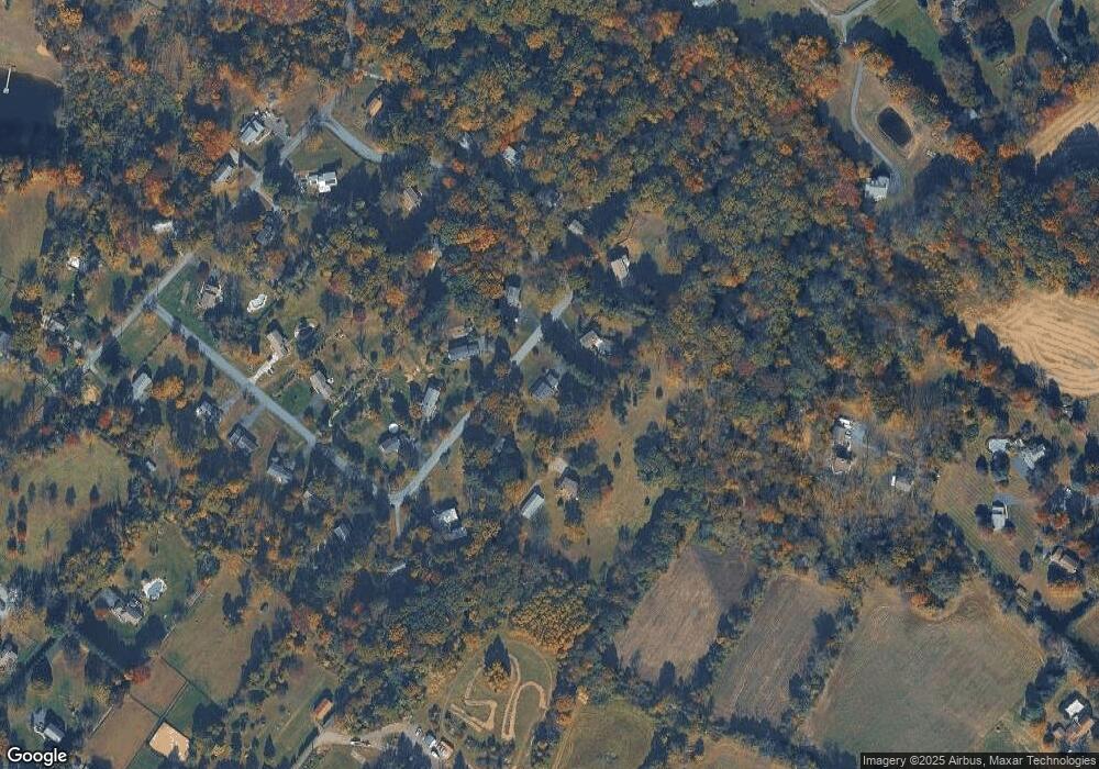
Map
Nearby Homes
- 723 Saylors Mill Rd
- 204 Nottingham Dr
- 100 Maack Rd
- 2126 Robin Ln
- 1202 W Bridge St
- 244 Harley Rd
- 1112 W Bridge St
- 35 Terrace Dr
- 287 Kulp Rd
- 105 Wilson Rd
- 826 Graphite Dr
- 7 Oak Dr
- 1211 Old Schuylkill Rd
- 112 Lindley Ln
- 1413 Old Schuylkill Rd
- 117 N Savanna Dr
- 1013 W Bridge St
- 256 S Savanna Dr
- 268 S Savanna Dr
- 509 Kolb Rd
Your Personal Tour Guide
Ask me questions while you tour the home.