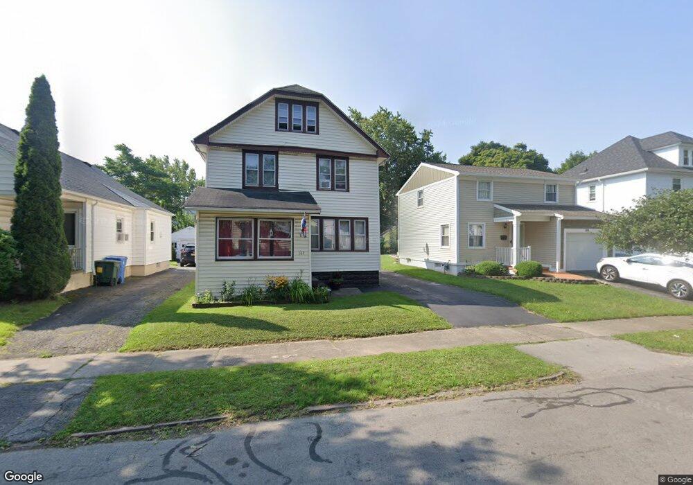
115 Sylvester St Rochester, NY 14621
Northeast Rochester NeighborhoodEstimated Value: $132,000 - $178,000
3
Beds
1
Bath
1,396
Sq Ft
$109/Sq Ft
Est. Value
About This Home
This home is located at 115 Sylvester St, Rochester, NY 14621 and is currently estimated at $151,771, approximately $108 per square foot. 115 Sylvester St is a home located in Monroe County with nearby schools including School 39-Andrew J. Townson, Mary McLeod Bethune School No. 45, and School 25 Nathaniel Hawthorne.
Ownership History
Date
Name
Owned For
Owner Type
Purchase Details
Closed on
Sep 20, 2002
Sold by
Mcfadden Randy W
Bought by
Mcfadden Randy W and Ma Rosas
Current Estimated Value
Purchase Details
Closed on
Sep 18, 2002
Sold by
City Roch
Bought by
Mcfadden Randy W
Purchase Details
Closed on
Mar 28, 2002
Sold by
Hud
Bought by
City Of Rochester
Purchase Details
Closed on
Jul 23, 2001
Sold by
State Street Bank & Trust
Bought by
Hud
Purchase Details
Closed on
Mar 1, 2001
Sold by
Deutsch Michael E
Bought by
State Street Bank & Trust
Create a Home Valuation Report for This Property
The Home Valuation Report is an in-depth analysis detailing your home's value as well as a comparison with similar homes in the area
Home Values in the Area
Average Home Value in this Area
Purchase History
| Date | Buyer | Sale Price | Title Company |
|---|---|---|---|
| Mcfadden Randy W | -- | -- | |
| Mcfadden Randy W | $35,000 | Edward Damico | |
| City Of Rochester | $21,000 | -- | |
| Hud | -- | -- | |
| State Street Bank & Trust | $69,109 | -- |
Source: Public Records
Tax History Compared to Growth
Tax History
| Year | Tax Paid | Tax Assessment Tax Assessment Total Assessment is a certain percentage of the fair market value that is determined by local assessors to be the total taxable value of land and additions on the property. | Land | Improvement |
|---|---|---|---|---|
| 2024 | $1,245 | $118,900 | $9,100 | $109,800 |
| 2023 | $880 | $61,800 | $6,100 | $55,700 |
| 2022 | $866 | $61,800 | $6,100 | $55,700 |
| 2021 | $986 | $61,800 | $6,100 | $55,700 |
| 2020 | $854 | $61,800 | $6,100 | $55,700 |
| 2019 | $873 | $54,000 | $6,100 | $47,900 |
| 2018 | $1,795 | $54,000 | $6,100 | $47,900 |
| 2017 | $0 | $54,000 | $6,100 | $47,900 |
| 2016 | $873 | $54,000 | $6,100 | $47,900 |
| 2015 | $1,653 | $52,400 | $6,100 | $46,300 |
| 2014 | $1,653 | $52,400 | $6,100 | $46,300 |
Source: Public Records
Map
Nearby Homes
- 1482 Norton St
- 180 Norran Dr
- 24 Jackson St
- 35-37 Jackson St
- 77 Chapin St
- 104 Midland Ave
- 1001-1005 Portland Ave
- 63 Dickinson St
- 1290-1292 Portland Ave
- 32 Taft Ave
- 425 Norran Dr
- 226 Lux St
- 26 Knapp Ave
- 212 Lux St
- 235 Newcomb St
- 124 Gray St
- 53 Bennett Ave
- 146 Delamaine Dr
- 152 Delamaine Dr
- 194 Taft Ave
- 119 Sylvester St
- 109 Sylvester St
- 125 Sylvester St
- 103 Sylvester St
- 114 Pomeroy St
- 129 Sylvester St
- 97 Sylvester St
- 120 Pomeroy St
- 110 Pomeroy St
- 126 Pomeroy St
- 104 Pomeroy St
- 93 Sylvester St
- 135 Sylvester St
- 114 Sylvester St
- 100 Pomeroy St
- 130 Pomeroy St
- 120 Sylvester St
- 108 Sylvester St
- 104 Sylvester St
- 124 Sylvester St