115 Terrapin Ln Stevensville, MD 21666
Estimated Value: $1,324,000 - $2,292,000
--
Bed
5
Baths
4,581
Sq Ft
$414/Sq Ft
Est. Value
About This Home
This home is located at 115 Terrapin Ln, Stevensville, MD 21666 and is currently estimated at $1,894,382, approximately $413 per square foot. 115 Terrapin Ln is a home located in Queen Anne's County with nearby schools including Matapeake Elementary School, Matapeake Middle School, and Kent Island High School.
Ownership History
Date
Name
Owned For
Owner Type
Purchase Details
Closed on
Sep 9, 2002
Sold by
Nees Bernard H
Bought by
Ferris William M and Ferris Kathleen S
Current Estimated Value
Purchase Details
Closed on
Jan 24, 2002
Sold by
Nees Bernard J
Bought by
Ness Bernard H and Beverly R Trustees
Create a Home Valuation Report for This Property
The Home Valuation Report is an in-depth analysis detailing your home's value as well as a comparison with similar homes in the area
Home Values in the Area
Average Home Value in this Area
Purchase History
| Date | Buyer | Sale Price | Title Company |
|---|---|---|---|
| Ferris William M | $835,000 | -- | |
| Ness Bernard H | -- | -- |
Source: Public Records
Mortgage History
| Date | Status | Borrower | Loan Amount |
|---|---|---|---|
| Closed | Ferris William M | -- |
Source: Public Records
Tax History Compared to Growth
Tax History
| Year | Tax Paid | Tax Assessment Tax Assessment Total Assessment is a certain percentage of the fair market value that is determined by local assessors to be the total taxable value of land and additions on the property. | Land | Improvement |
|---|---|---|---|---|
| 2025 | $12,853 | $1,449,400 | $0 | $0 |
| 2024 | $12,193 | $1,335,000 | $0 | $0 |
| 2023 | $11,558 | $1,220,600 | $523,200 | $697,400 |
| 2022 | $11,558 | $1,220,600 | $523,200 | $697,400 |
| 2021 | $12,353 | $1,220,600 | $523,200 | $697,400 |
| 2020 | $12,353 | $1,281,700 | $623,200 | $658,500 |
| 2019 | $12,029 | $1,247,967 | $0 | $0 |
| 2018 | $11,706 | $1,214,233 | $0 | $0 |
| 2017 | $11,382 | $1,180,500 | $0 | $0 |
| 2016 | -- | $1,176,933 | $0 | $0 |
| 2015 | $5,281 | $1,173,367 | $0 | $0 |
| 2014 | $5,281 | $1,169,800 | $0 | $0 |
Source: Public Records
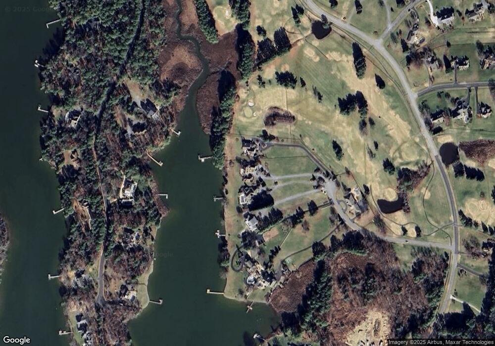
Map
Nearby Homes
- 102 Golf Ct
- 224 Long Point Rd
- 214 Pennick Dr
- 213 Pennick Dr
- 0 Ackerman Dr
- 210 Pennick Dr
- Lot 8 Ackerman Dr
- 208 Long Point Rd
- 203 Olive Branch Rd
- 123 Long Point Rd
- 9401 Romancoke Rd
- Lot 1 - E/Kent Point Romancoke
- 8905 Romancoke Rd
- 114 N Lake Dr
- 145 N Lake Dr
- 118 N Lake Dr
- 312 S Lake Dr
- 208 Tower Dr
- 200 Mallard Cove Ln
- 201 Beachside Dr
- 113 Terrapin Ln
- 117 Terrapin Ln
- 111 Terrapin Ln
- 109 Terrapin Ln
- 116 Terrapin Ln
- 127 Tanners Point Dr
- 129 Tanners Point Dr
- 131 Tanners Point Dr
- 125 Tanners Point Dr
- 132 Tanners Point Dr
- 133 Tanners Point Dr
- 130 Tanners Point Dr
- 128 Tanners Point Dr
- 712 Penny Dr
- 100 Night Heron Ct
- 714 Penny Dr
- 126 Tanners Point Dr
- 134 Tanners Point Dr
- 124 Tanners Point Dr
- 101 Night Heron Ct